The SuperMap partner company develops the urban management emergency command and business attraction system based on SuperMap 9D. The system applies 3D true color accurate terrain sand table, geographic information, system integration and other information technology to run special applications of land, planning, traffic and video surveillance on the physical and electronic sand table in the forms of 2D and 3D integration and big data visualization. It integrates land management, planning management, traffic management, video remote monitoring, remote emergency management and other public security management in urban managements with characters of strong scalability, convergence, and smooth transitions from different platforms.
The system will display the land use status, land use planning, land supply, land reserve, land ownership, basic farmland red line and the urban planning data of city’s Urban and Rural Planning department in the forms of 2D and 3D integration and big data visualization in the city’s government office. By clicking the land color block and combining with the map, the quick understanding of the situation of various types of land in the city can be realized. In addition, it can be combined with the on-site physical sand table to realize the interaction of physical and electronic sand table through the voice control system, embedded control system and mobile terminal. This virtual combination provides supports for urban planning, construction, management and spatial decision making. It can be widely used in the government investment attraction and urban emergency management, for instance, if investors want to investigate the places, they can use 2D maps, high-resolution image maps, and 3D real-time maps to understand a series of related situations, such as the reserve situation of the land in the city and the surrounding plannings on the platform without going to the site. It helps the site selection and the landing of the investment attraction project. Also, the platform can be connected to the city’s transportation big data and video management platform to clearly understand the traffic situation around the incident and the real-time situation on the site, so as to provide the city manager with emergency command assistance in making decision when occurs the emergency in the city.
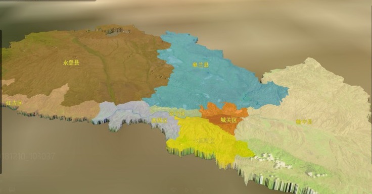
(1) The system main interface
The main interface will displays the overall division map of the city after logging in.
(2) 3D, 2D and high resolution image scenes
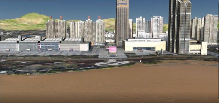
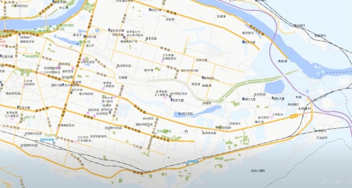
(3) Loading land use status in special land applications on 2D scenes
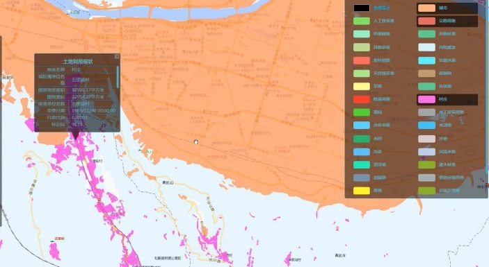
(4) Loading land use planning in special land application on high-resolution images and 3D scenes
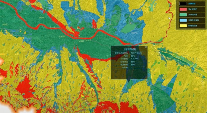
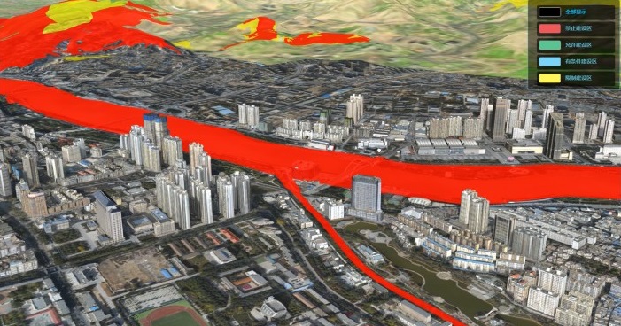
(5) Loading land supply in special land application on 3D scenes
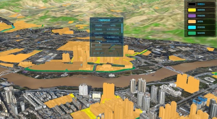
(6) Loading land reservation in special land application on 3D scenes and high resolution image scenes
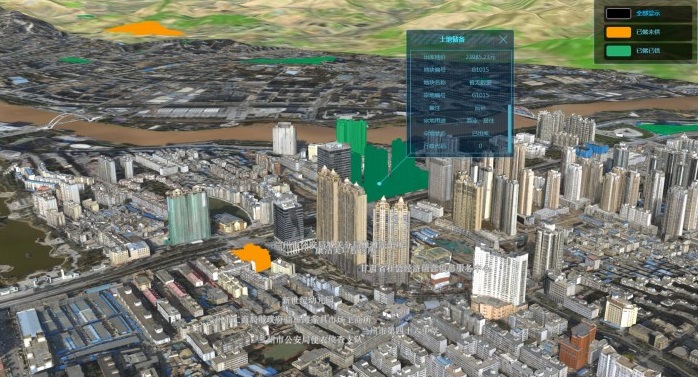
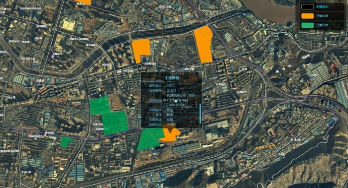
(7) Loading the basic farmland red line in special land application on high-resolution image scenes
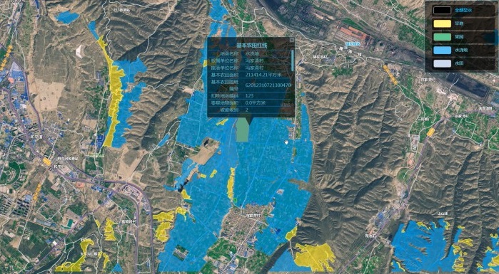
(8) Loading the overall city plannings in special land application on 3D and 2D scenes
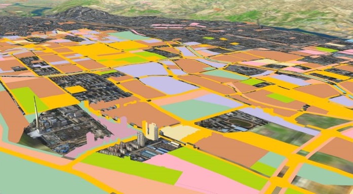
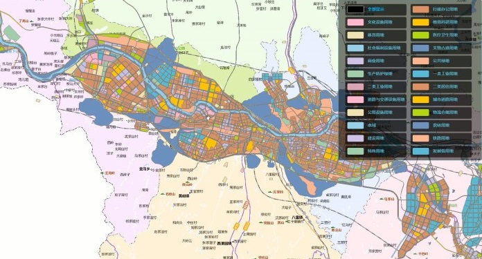
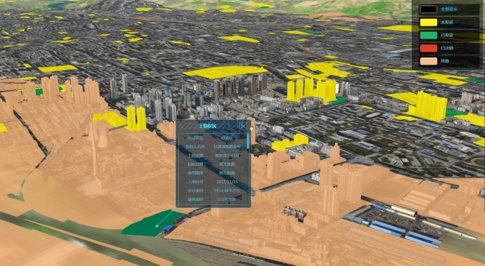
(9) Loading the land ownership in special land application on 3D scenes
New 3D GIS Technology in Underground Water Management>
2D and 3D GIS in Natural Resources Management>
New 3D GIS Technology Supports the Construction of "Digital Twins" in Transportation>