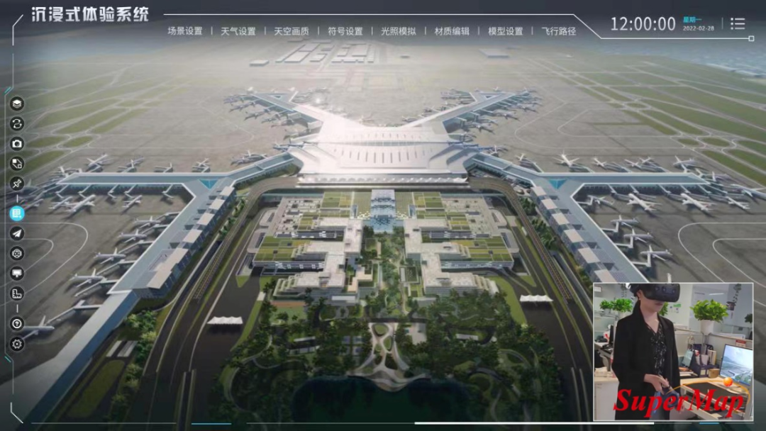
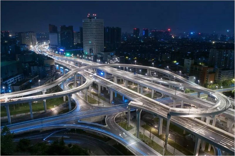
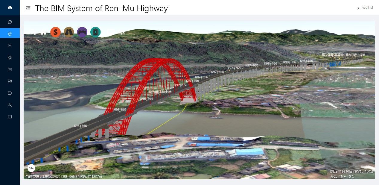
BIM is used to manage the entire life cycle of a building, GIS is used to manage the information about the external environment of a building. The management of BIM's entire life cycle requires the participation of GIS. And the integration of BIM and GIS enables the exchange and interoperability of BIM information in the micro domain and GIS information in the macro domain. Currently, BIM+GIS has been applied to bridges, pipeline, buildings, roads, dams, tunnels constructions and other fields.