"Digital twin" is an important direction and application scenario for the development of informatization in the transportation industry, and it is also an important means of visual presentation of "smart transportation". Based on the construction of comprehensive and information-rich traffic 3D virtual scenes, "digital twin" superimposes dynamic traffic status information to form a set of dynamic virtual scenes that can be displayed, measured, and controlled in synchronization with the real world. Not only can the real world be synchronized in a virtual scene, but also by constructing a traffic information model, it is also possible to realize the simulation of traffic management control in a 3D virtual space, which can finally realize the research and prediction of the real world in virtual space.
To realize the "digital twin", here are three technical cores: the rapid construction of 3D scenes of large-area traffic, the real-time display of massive dynamic traffic information, and the display and simulation of transportation models.
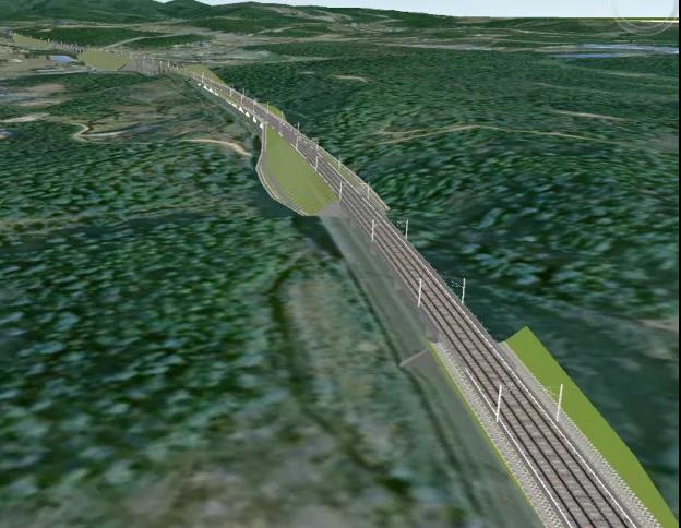
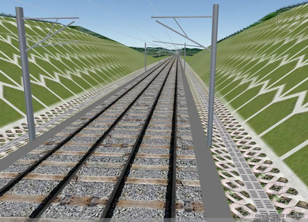
Parametric modeling technology can build high-precision 3D maps
"Digital twins" must be able to quickly build a complete set of 3D traffic scenes.
Parametric modeling technology is based on the 2D vector data of the road, the distribution of road facilities, design parameters and other information, combining with the location of the road, using the GIS spatial model algorithm to automatically generate a 3D road model, which is basically consistent with the actual shape of the road . Users can realize rapid modeling of large-scale transportation facilities through simple data input and just rely on GIS software. It costs less time when compared with manual BIM modeling, and its accuracy is higher than that of oblique photogrammetry and laser point cloud data, which is very suitable for constructing large-scale traffic 3D scenes. SuperMap can also support the fusion application of large-scale parameterized models and BIM models of key projects to support more completed transportation applications.
At the same time, parametric modeling can cooperate with the 3D model to generate road traffic rule topology information, accurately overlay vehicle positioning information, traffic event information and other dynamic information on the 3D model, and support applications such as 3D navigation and transportation supervision.


Real-time dynamic traffic supervision in 3D GIS scene
With the support of 5G and satellite technologies, the dynamic data in the management and operation monitoring of transportation facilities is becoming more and more time-sensitive, and the amount of data is getting larger. The load, display, manage, count and analysis of massive dynamic data in 3D scenes is the second important technology for the construction of the "digital twin" scenario.
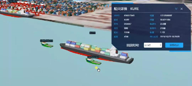
SuperMap GIS supports the overlay presentation, statistics and analysis of multi-source and massive dynamic information in 3D scenes. Not only can satellite high-precision positioning information be dynamically displayed in 3D scenes, but also can be connected to IoT streaming data services, the sensor information in traffic facilities in a 3D scene can be dynamically displayed in a visual way. In the background, an analysis service such as an electronic fence is constructed to analyze, monitor, and pre-warn the trajectory, deformation and other information, and to calculate its running loss, so as to realize real-time supervision of traffic facility management.
SuperMap GIS not only supports "BIM+GIS+IoT"3D service in WebGL application, but also supports mobile terminal service invocation and application presentation. The "digital twin" service is not limited to the internal management unit, but can also be widely published through the Internet.

Large scene traffic simulation presentation on high-precision map
In addition to synchronizing with real-world information, the "digital twins" scenario also needs to be able to support the analytical calculation and presentation of traffic models.
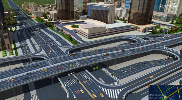
Traffic simulation software can analyze and calculate the value of road traffic changes within a period of time based on OD information. SuperMap GIS supports the conversion of changing values into the trajectories of vehicle models on each lane through road topology rules in 3D scenes. By showing abstract numerical changes as dynamic virtual scenes, it provides traffic simulation capabilities for traffic simulation analysis. Through visualization technology, professional data can be accurately understood by more non-professionals, so as to build more application scenarios for professional data.

New 3D GIS Technology in Underground Water Management>
2D and 3D GIS in Natural Resources Management>
New 3D GIS Technology Supports the Construction of "Digital Twins" in Transportation>