System Introduction
The Mauritius Police GIS (MPGIS) is a customized GIS application for Mauritius Police Force (MPF). MPGIS is part of the CCTV for Port Louis and Grand Bay project (CCTV System), which is a Chinese Foreign Aid project for Mauritius, and is designed for reducing crime in Port Louis and Grand Bay of Mauritius.
The whole system is composed of a web map Client System (Client System) and an administration tool (Admin Tool). The Client System provides basic GIS functions such as place name searching, map browsing, layer controlling, distance and area measuring, etc., and some advanced police business oriented functions such as crime editing, crime querying, crime thematic mapping, etc. Furthermore, with the integration with CCTV system, the system supports locating the cameras and viewing the live images of the specific cameras on top of the map; with the integration with the Wireless Trunking System, the system supports to monitor the real time locations of the on duty police units which are equipped with GPS terminals so that the police officers can make quicker and smarter commands in case of emergencies. The Admin Tool mainly provides functions for the system administrators to manage more maps, statistic data, thematic maps, searchable layers, GPS terminals, security policies etc. for the Client System.

Functional Structure of the System
Key Features and Benefits
User Friendly Interface and Easy to Use
As the Client System is daily operated by the policemen in MPF and none of them are GIS professionals, the design of the Web Client follows the principle of "user friendly interface, easy to use".

The Policemen are operating the System
RIA Techonolgy Improves the User Experience Greatly
We employ SuperMap iClient for Silverlight for customizing the Client System in the client side, combining with the GIS services published by SuperMap IS .NET in the server side, it can display both raster maps and vector layers both quickly and interactively. This greatly improves the user experiences of this system.
Auto Complete Input Facilitates the Map Searching Conveniently
The search function of the Client System supports auto complete input, which will make fuzzy search and list the matched results automatically for the user to choose when the user inputs more than 2 letters to query the place names.

Interface Example of the Client System
Various Thematic Maps Visulize Police Data Intuitively
Police-related data can be visualized on map via thematic maps so as to help investigators to identify the trends and the variations of crimes, or evaluate the performance of different police stations. For example, a Pie Chart Map shows the percentages of day and night larceny occurrences in different areas ; a Heat Map displays the different crime density of the whole Mauritius Island. Time Series Map helps identify the temporal spatial pattern of Crimes.

Example of Pie Chart Map

Example of Time Series Map
Integration with CCTV System Improves Surveillance Efficiency
The system is integrated with CCTV system, all the cameras are displayed on map, the investigators can search a group of specific cameras and view live images of them on map. With this, they can view historical videos and trace criminal's acting tracks or area, these can help them estimate the probable position of criminals and make optimal plans to arrest them.

Single Window Multi-image Monitoring

Multi-windows Monitoring
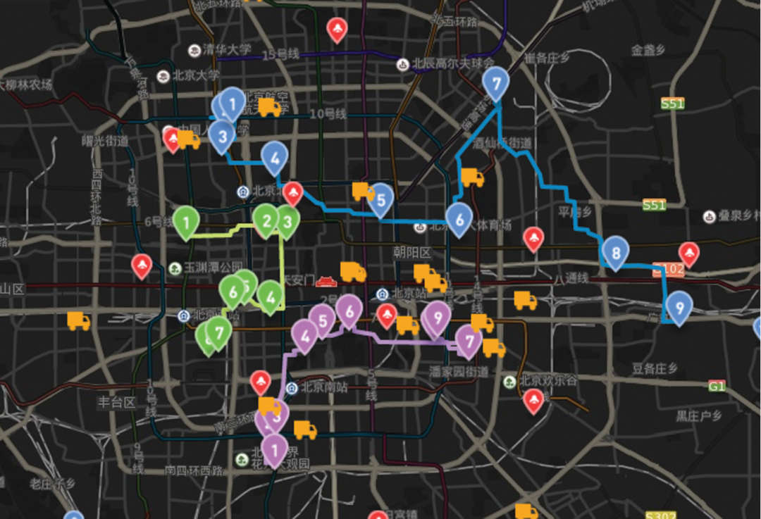
GPS Tracing Assists Dispatching
The system is integrated with GPS tracing function, police officers can trace the police units equipped with GPS terminals in real time via the system; this can guide them to dispatch police units easily and effectively in case of emergency. Furthermore, the daily tracks of police units can be reviewed when needed.

GPS Tracing
Admin Tool Enables the Administrator to Manage Map Data Flexiblly
The Admin Tool is designed and developed to meet variable needs of customers. The administrator can easily configure and manage statistical data, background maps, thematic maps, display styles, layers and GPS terminals through the Admin Tool, which meets the changing and increasing data needs without programming. Besides, the Admin Tool provides the security policy for the whole system.
The Result
Since the deployment about more than half a year ago, the system has gained the recognition of police users. The system is stable with practical functions, simple operations, and flexible configuration. By fully employing the latest technical achievements of the SuperMap GIS software, the system not only established the geospatial vector and image databases and provided practical GIS functions, but also closely integrated with the CCTV system and GPS monitoring system. The system is a great help for improving the decision-making ability and efficiency of Mauritius Police Force.
Satellite Tracking + Big Data GIS Application in Real-time Ship-controlling>
Big Data - Signaling Data Makes Cities Smarter>