During the Chinese Spring Festival, SuperMap has turned the epidemic prevention and controlling projects into the highest response level. From 3 February, SuperMap senior technical support staffs have been deployed to be available for the project for 7 * 24 hours. Also, SuperMap has opened epidemic-related technical service hotline to ensure to fight with all nations till the end of the epidemic. At present, SuperMap has involved into epidemic prevention and control projects in cities and provinces across the country.
Race against time to establish the epidemic information system in Jining City, Shandong Province
After receiving the epidemic tasks on 30 January, SuperMap and other local departments and institutes immediately moved to work together to ensure the epidemic works.
"Although facing various unfavorable working conditions and the tough epidemic situation. I and my colleagues took 2 days and 2 nights to complete the framework of the system in local District. After 5 days of remote debugging, the system has been put into use on 7 February. "said Mr.Sui , technical support of SuperMap.
The epidemic information system is based on the high-precision oblique photogrammetry data that produced by local Institute, and applies the 2D and 3D integration technology to realize the spatial positioning and display of floor and household data from the perspective of 3D space and gridding. The system effectively protects 919 key prevention who return from Hubei, and supports the spatial positioning and management of various protective facilities and resources.
The launch of the first version of Guizhou Province Epidemic Decision Analysis System
In order to work on the "Epidemic Decision Analysis System", all technical engineers of SuperMap Guiyang Office cancelled the vacation plan from 1st February..
"I lived in a small county in Guizhou. When I was notified by the superiors to resume work, all the public traffics in Guizhou has been shuttled down due to the security reasons. In order to catch up with the high-speed rail, I walked from the toll station on the Expressway to the high-speed rail station. If there is a recall from company and nation, everyone will back regardless how many difficulties. "Mr. Wu, SuperMap Technical Engineer said.
When Mr. Wu arrived at the Guizhou Big Data Dispatching Center, he and other technical engineers immediately put into work, during which they worked overtime and overnight to overcome technical difficulties, and finally launched the first version of the system on 6 February
At present, the system has begun to play a role in epidemic, Mr. Wu and his colleagues will continue to improve the system to ensure to win the battle!

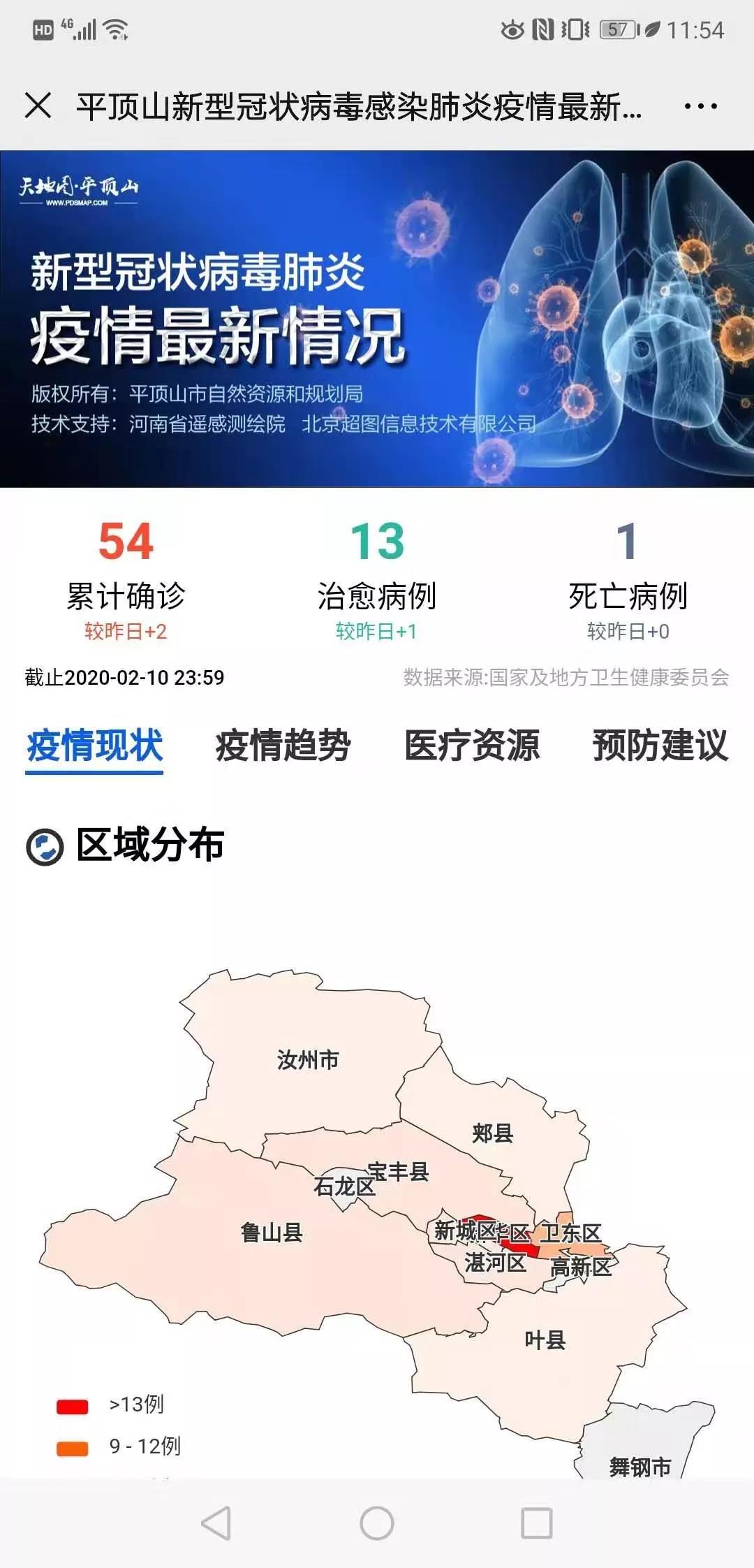
Provides the Epidemic Map service of Pingdingshan, Henan
In order to provide people with location-based localized epidemic disclosure services in a timely manner and strengthen public opinion guidance, SuperMap Smart City Engineering Center works with the local Remote Sensing and Mapping Institute to conduct emergency research and development for 48 hours. The Epidemic Map service provides localized epidemic situation, epidemic trend, nearby cases, public transportation information sharing, medical resources, and prevention suggestions, etc., to further strengthen the transparency of epidemic information. The service informs people with the epidemic information around them, improves prevention awareness and reduces the risk of concentrated infections.
After the launch of epidemic map service, it has achieved certain results in epidemic works. Currently, the map service has been launched in other cities in Henan. SuperMap will continue to make efforts in providing local people with detailed epidemic release information.
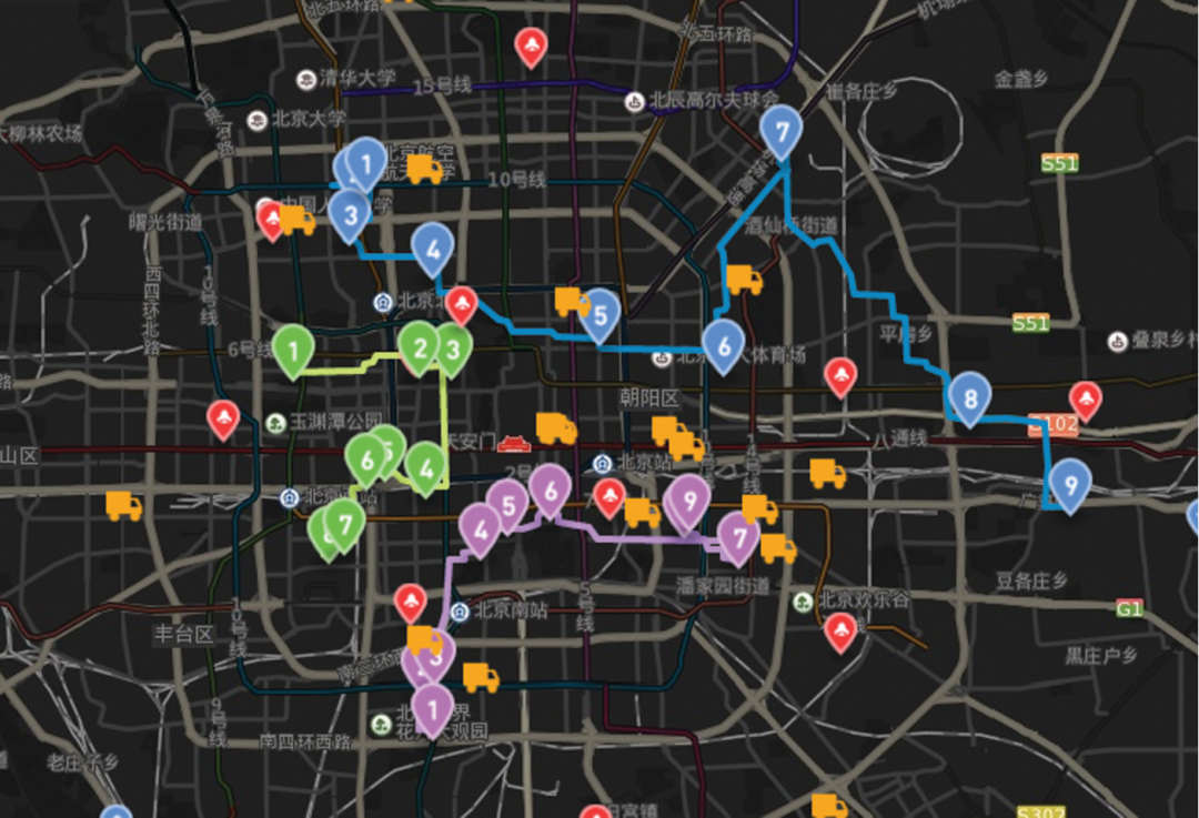
Satellite Tracking + Big Data GIS Application in Real-time Ship-controlling>