1. The introduction of the underground management information platform
The underground pipeline information management platform is based on GIS technology, which adopts C/S, B/S hybrid network technology, and integrates 2D and 3D integrated technology, 3D visualization technology, big data storage technology, high-performance cache slicing technology, etc. Based on oblique photogrammetry technology, the 3D scene of downtown area can be built, it also integrates road attribute information, building attribute information, and underground pipeline attribute information to create a platform of urban underground pipeline information browsing, query and information management, and to provide data foundation and technical support for the fine management of urban underground pipeline.
2. Construction content of underground pipeline information system
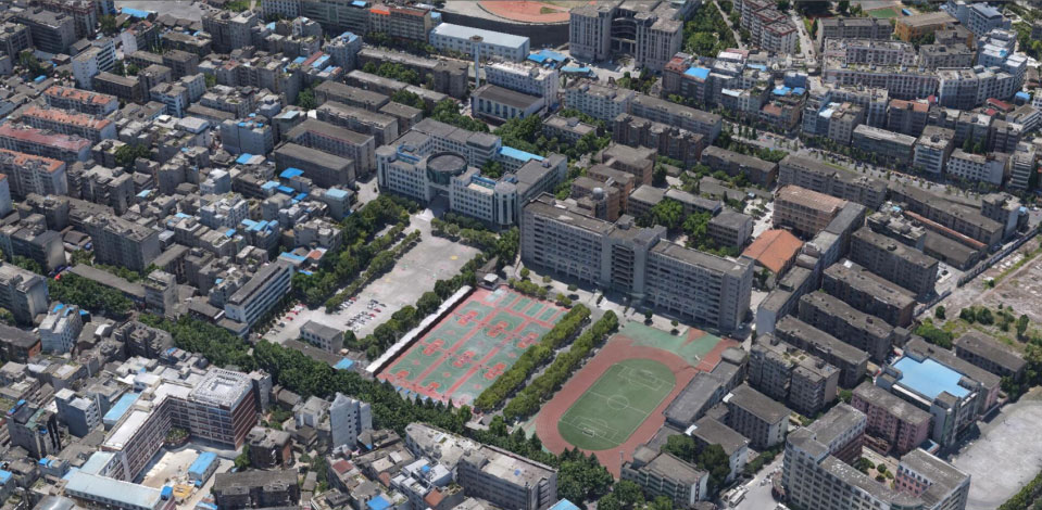
2.1 Building on the ground floor model
The content is the construction of the current model on the ground, and the oblique photogrammetry technology is used for automatic modeling.
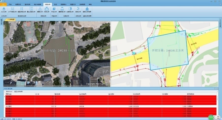
2.2 The underground pipeline 2D and 3D integrated application management system
Based on the C/S network architecture, the 3D visualization of various underground pipeline data in city realizes the functions of 2D and 3D integrated browsing, query positioning, statistics, decision analysis and data management through secondary development.
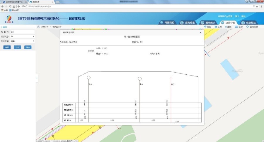
2.3 The underground Pipe Network Information Service Platform
Based on the B/S network architecture and the release of various underground pipeline data and terrain data of city, the underground pipeline data browsing, query positioning, statistics, decision analysis, system and data management, portal website and other functions can be achieved through secondary development.
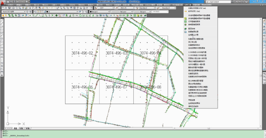
2.4 The urban underground pipeline supervision and mapping subsystem
By adopting the single-machine architecture and based on the AutoCAD platform, the functions of data entry, database construction, mapping and supervision inspection in the underground pipeline can be realized through the secondary development.
New 3D GIS Technology in Underground Water Management>
2D and 3D GIS in Natural Resources Management>
New 3D GIS Technology Supports the Construction of "Digital Twins" in Transportation>