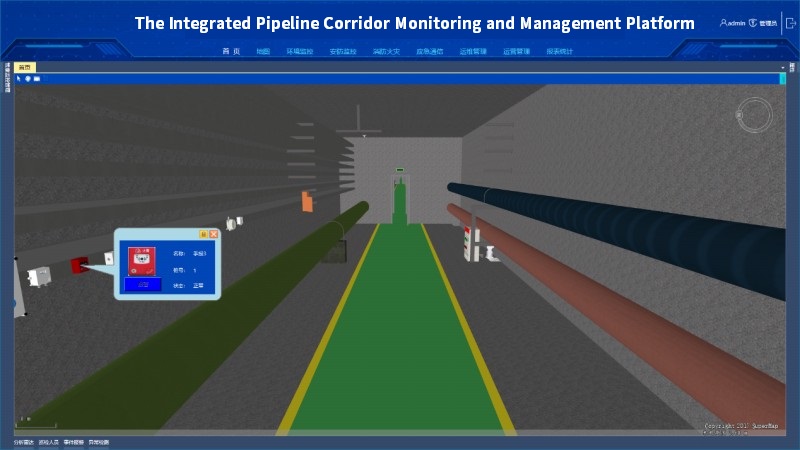
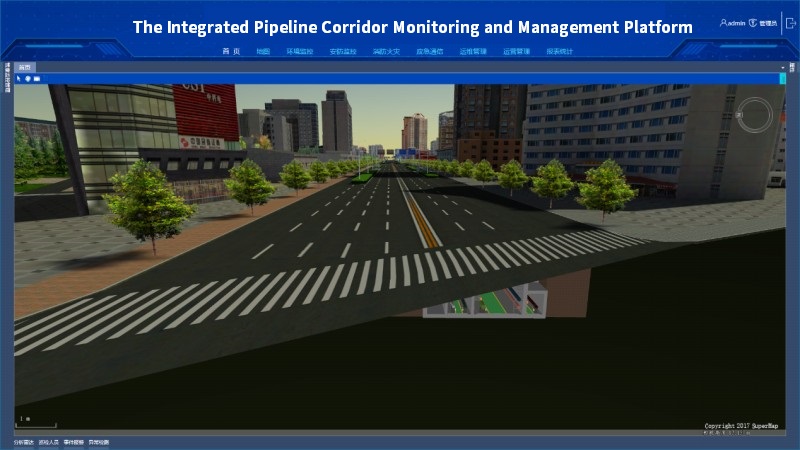
The Integrated Pipeline Corridor Monitoring and Management Platform
Based on the SuperMap GIS Component +.NET technology, the construction of the integrated pipeline underground provides the electricity, communication, gas, heat, water and drainage supports.
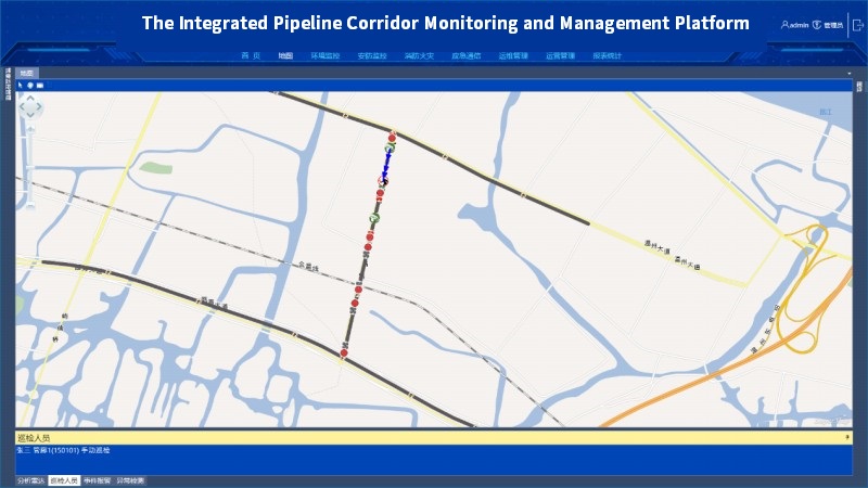
The integrated pipeline corridor monitoring and management platform adopts 2D and 3D integration technology. In the aspect of 2D GIS, the platform can monitor the distribution of pipelines, personnel locations, inspection routes, equipment alarms, operating status, etc. While in the aspect of 3D GIS, it can monitor the pipeline corridor model, equipment model, equipment locations, equipment status, equipment control, inspection, pre-plans, etc..
Tunnel Monitoring and Management Platform
The tunnel monitoring and management platform adopts SuperMap GIS component +.NET technology to realize the monitoring and management platform for highway tunnels. The platform covers traffic, lighting, ventilation, telephone broadcasting, video, fire, fire control, power consumption, information release, case analysis and other aspects of functional requirements, and can conduct the real-time monitoring, management and operation and maintenance.
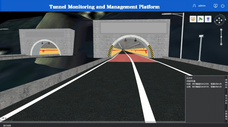
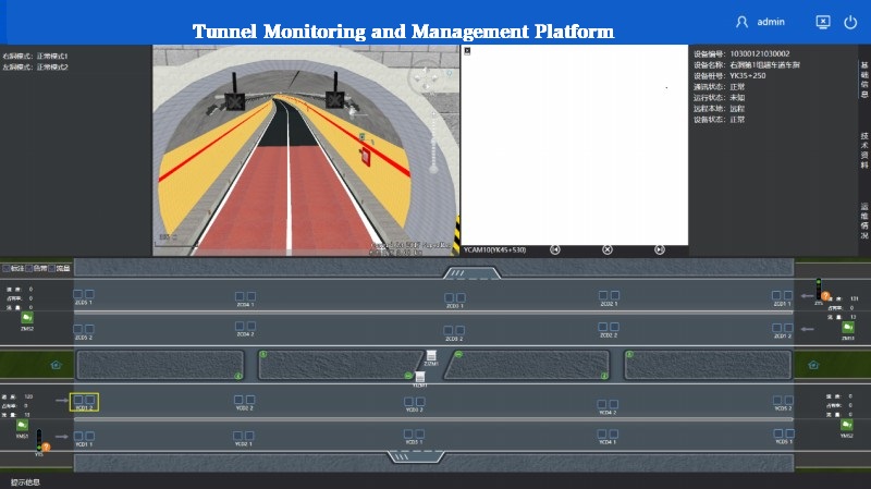
The platform adopts the 2D and 3D integration technology in GIS design. The 2D GIS technology provides the function of highway distribution, tunnel distribution, tunnel status, equipment alarm, etc. While in 3D GIS, it provides tunnel model, equipment model and equipment locations, equipment status, equipment control, inspection, pre-plans and other functions.
New 3D GIS Technology in Underground Water Management>
2D and 3D GIS in Natural Resources Management>
New 3D GIS Technology Supports the Construction of "Digital Twins" in Transportation>