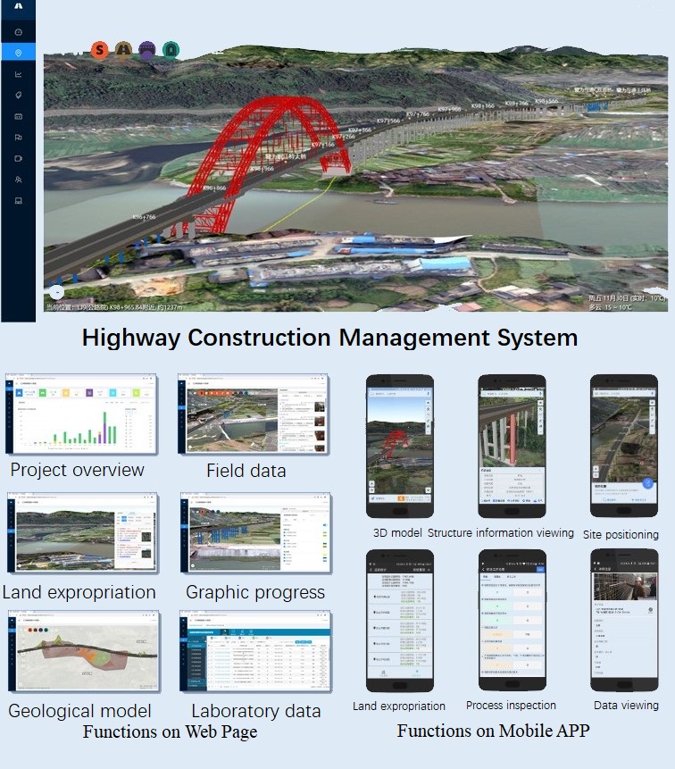
The management system of highway construction, by integrating the construction drawing design and BIM model, can perform the functions of BIM model viewing, design data management and viewing, management of site operation, site inspection, design alteration, site location, quantity calculation, and construction schedule control. The construction management system can be updated at any moment according to the site construction progress, design optimization and proprietors’ demands so as to guarantee the accordance of construction management system and site operation.
The BIM modeling information of the project retains complete design information through technical means such as component library and coding standard and therefore ensures an effective transition of information from the stage of design to construction. Through the rapid modeling of customized BIM standard components, component coding standards based on the construction stage of the project and the design and delivery system, the system is capable of carrying out the sharing and interaction of engineering data in its whole life and the complete data utilization of BIM model by GIS platform.
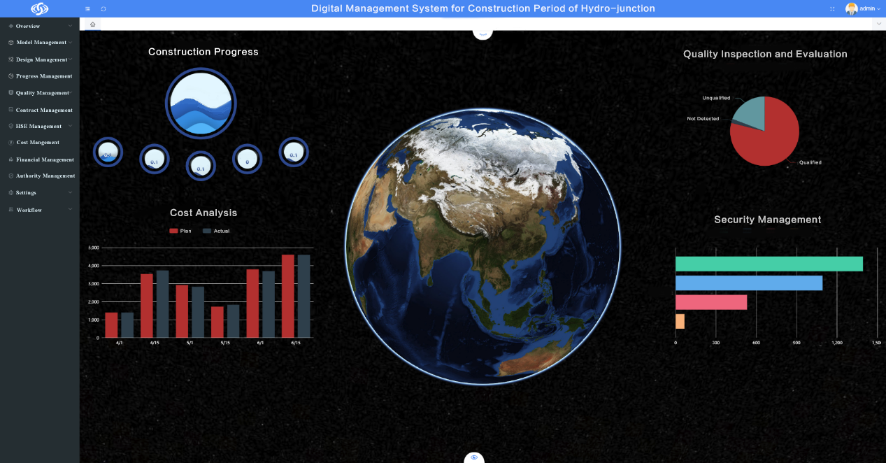
The construction progress management system has the functions including bill of quantities of graphic progress, overall plan, annual plan, monthly plan and construction monthly schedule. It also supports the plan release and progress report, and forms the cartogram exhibiting the progress of subprojects.
BIM construction management system has brought remote site management into a reality. Inspectors, constructors and project personnel can record and upload the inspection circumstances or site operation conditions by pictures, videos and texts through mobile APP. The information uploaded can be correlated with BIM models automatically and BIM model can be directly located with the data.
In the process of land expropriation, site personnel record the process and status of land expropriation through BIM construction management system.
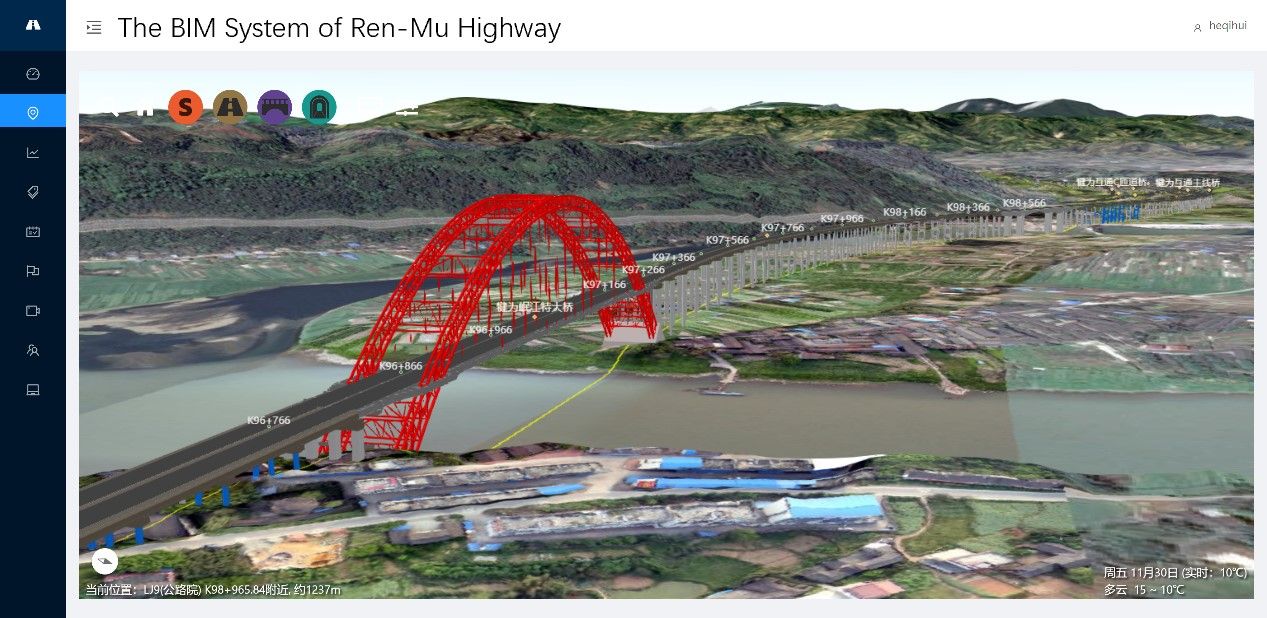
The construction management system takes GIS system as the basic platform, combines multi-source, multi-temporal and multi-scale spatial data such as aerial image, oblique photography, laser point cloud to display the whole project and professional BIM model information such as roadbed, bridge, tunnel and communication, as well as the topography and geomorphology information of the project area in the form of 3D real scene. At the same time, it supports scene roaming, query and positioning, property viewing, spatial analysis on the web and mobile terminals. As the most basic function of the construction management system, the electronic sand table is the embodiment of BIM+GIS technology.