Building Information Modeling (BIM for short), is defined by the national standard GB/T51212-2016“Uniform Standard for the Application of Building Information Modeling”as follows: “It is the process and general term of design, construction, and operation, based on the physical and functional characteristics digital expression of construction projects and facilities during their whole life cycle.”
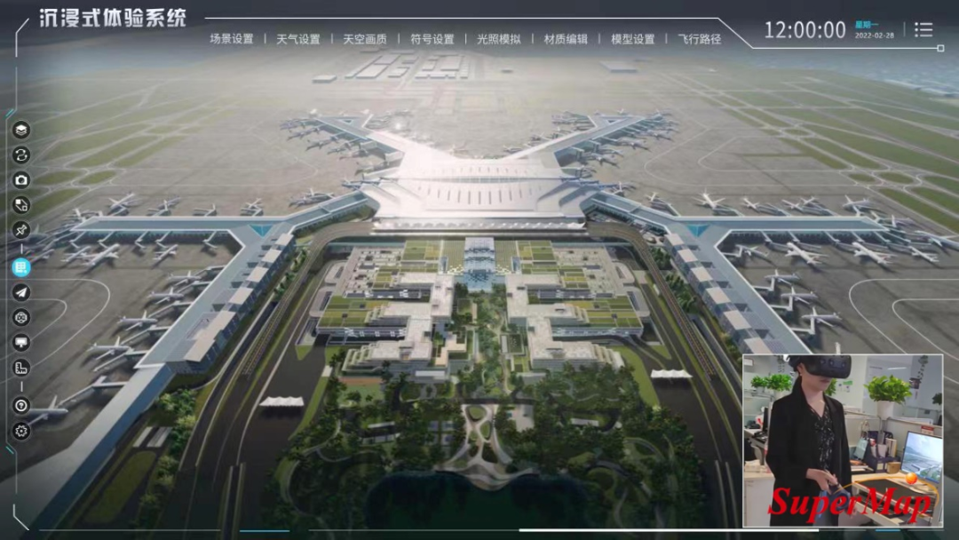
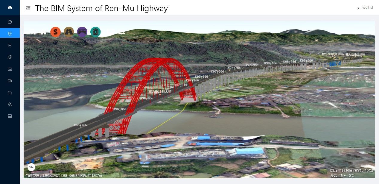
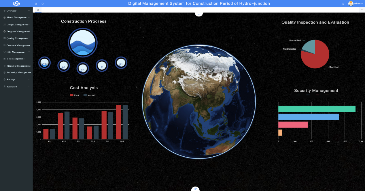
BIM data includes not only common buildings, but also structures such as powerhouses, dams, power stations, etc., as well as linear shape infrastructure such as: roads, railways, tunnels, pipe corridors, pipelines, etc. With the popularization of BIM technological applications, especially the further development of BIM+GIS applications, there has been higher requirements for the performance of real-time browsing of BIM data in 3D scenes in the industry. Therefore, the need of simplifying BIM data is increasingly strong.
Currently, BIM data mainly comes from BIM software. As we all know, there are many types of BIM modeling software in China and overseas, and each software has its own storage format.
1. IFC is an information exchange standard format defined by the Industry Foundation Class (IFC) standard, which stores information about the entire life cycle of a project. Currently, the commonly used BIM software supports the output of BIM data in IFC format.
2. RVT is the BIM data format used by Autodesk Revit software. Revit software is currently the mainstream software for BIM modeling. its project file .rvt is currently widely used with a large number of users.
3. DGN is a data format used by MicroStation products of Bentley and it adopts binary storage.
4. 3DXML is an open BIM data format launched by Dassault Systems. It is a lightweight data format based on XML with small size and high compression ratio, which enables it to provide faster file transfer speed and shorter storage time.
5. DWF (Design Web Format, A Graphics Format for Web) is a highly compressed and lightweight file format developed by Autodesk.
I. Three ways to import BIM data into GIS platform.
Currently, BIM data is imported into GIS platform software in three ways:
1). The first method is to import BIM data into GIS platform software through on a self-developed BIM plug-in.
This method is based on the secondary development of the data interface provided by BIM software, that is to convert BIM data to GIS database based on the native support of the BIM software.
2). The second method is to realize the data interaction between BIM and GIS through the intermediate data format.
The method is to generate IFC format data from BIM data according to the IFC standard or convert it into model data formats such as FBX, OBJ, OSG, etc., which can be directly read by GIS software. It is an easy-to-use method, and common used BIM software supports the export of data in IFC. However, this method may cause problems such as data loss, poor data quality, and excessive data conversion time.
3). The third method is using GIS software to directly read BIM data.
It supports the access of BIM data by GIS software itself, which not only saves time and effort, but also guarantees the quality of BIM data during reading process. However, currently due to the product mode restriction of the BIM software, there are fewer BIM data formats that can be directly read by GIS software.
In order to better retain the geometric information and attribute information of BIM, the first method is commonly used to import BIM data into the GIS platform.
II. Three main principles to import BIM data into GIS platform.
BIM software usually adopts parametric modeling. However, the API provided by BIM software can only obtain the triangulated mesh after triangulation. Therefore, when importing BIM data into GIS platform, in order to better preserve the accuracy, topology and semantic integrity of BIM data; meet the requirements of subsequent various index calculations and spatial analysis, and achieve simplifying process of BIM data, the following three principles need to be followed:
1). It is usually expressed by a high-precision, topologically closed 3D solid data model to better retain the accuracy, topology and semantic integrity of the BIM data.
The 3D solid data model defines a homogeneous solid space through a high precision, topologically closed triangular mesh surface.
The triangulated surface boundary of the solid space is a directed, closed 2D manifold (2-Manifolds), its topological relationship is expressed by Halfedge Data Structure. it is an edge-centric data structure (Figure 1). Each edge is composed of two half-edges in opposite directions, and each half-edged stores an incident vertex and incident triangle.
With the help of 3D solid model, various operations such as 3D spatial query and analysis of BIM data in GIS platform software can be realized.
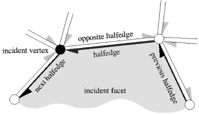
Figure 1 Halfedge Data Structure
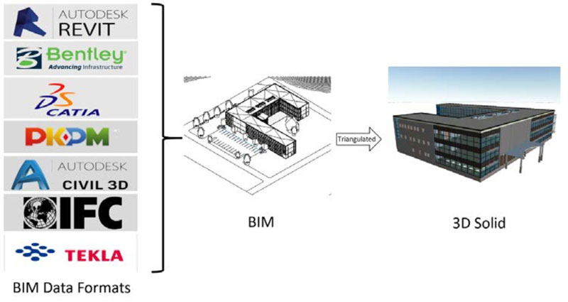
Figure 2 BIM model expressed by high-precision and topologically closed 3D solid
2). Adopt LOD (Level of Detail) for simplifying BIM data.
The parametric BIM model can construct triangulation networks with different levels of detail when triangulating, that is, the parametric curved surface can be triangulated into triangulation networks with different levels of detail.
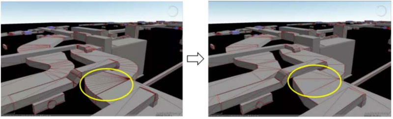
Figure 3 BIM data with different LODs
3). The instantiation can be used to reduce the redundancy of model data.
Instantiation can be used to store BIM data that is placed in different positions or postures, adopting geometric model + posture/position matrix storage, and the same geometric model can be stored only once, which reduced disk storage space. Instantiation can also be used when drawing, which can reduce the rendering pressure of the graphics card and improve the rendering efficiency.
BIM data in different fields have different levels of complexity. According to the actual application requirements, there will be more flexible methods for simplifying BIM data.
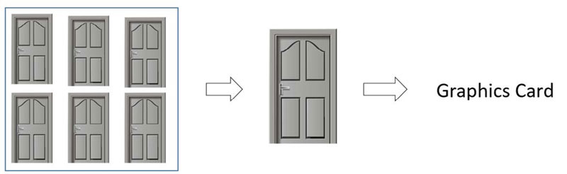
Figure 4 Instantiation
III. Conclusion
In recent years, the integrated applications of BIM and GIS have been used extensively and deeply. How to import BIM data into GIS platform to realize information interaction has become the primary problem to be solved. In this article, SuperMap proposes a technical solution that has been currently widely used in the industry. In the future, SuperMap will cooperate with more partners to provide more effective solutions for the development and application of "BIM+GIS".