Currently, various industries are facing multiple challenges such as the surge in data volume, diversification of data types, and escalation of data security requirements. In order to effectively cope with these challenges, SuperMap iDesktopX 2024 has bee...
04 Dec,2024 SuperMap iDesktopXThe world faces multi-type of disasters. It is of great significance for people around the world to use modern scientific and technological means to strengthen disaster monitoring and early warning, in which GIS plays an important role.<br/>GIS has the ab...
26 Nov,2024 mobile GIS SuperMap GIS SuperMap iMobile disaster rescueEfficient collaboration between multiple users and multiple applications, saving time and effort in large-screen construction<br/>Multi-user real-time collaborative editing capabilities added<br/>The Map Screen WebApp can easily build an industry visualiz...
21 Nov,2024SuperMap iPortal is a GIS portal platform software that integrates GIS resource integration, search, sharing and management. It is equipped with the capabilities of zero-code rapid site building, multi-source data access, multi-source heterogeneous servic...
20 Nov,2024Remote sensing interpretation and analysis technology integrates advanced computer vision algorithms. It realizes a variety of remote sensing interpretation functions, and provides complete process tools to s...
08 Nov,2024 Remote sensing and GIS Remote sensing&GIS SuperMap GIS 2024 spatial analysis remote sensing SAMThe new generation remote sensing software technology system of SuperMap is built on the basis of Geospatial AI Foundations (AIF), including remote sensing data management, remote sensing data processing, remote sensing interpretation and analysis, remote ...
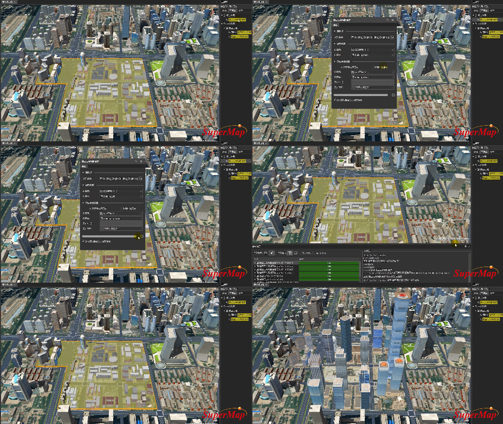
08 Nov,2024 Remote sensing and GIS Remote sensing&GIS spatial analysis SuperMap GIS 202403 Improve the local update capability of multi-source data: comprehensive types and on-demand updates
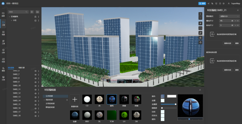
16 Oct,2024 Data BIM cloud point 3D GIS SuperMap GIS 2024With the in-depth development of a new round of scientific and technological revolution and industrial transformation, the value of data as a key production factor has become increasingly prominent. &amp;lt;br/&amp;gt;This year, SuperMap has upgraded the capabilities o...
14 Oct,2024 Data BIM cloud point 3D GIS SuperMap GIS 2024


