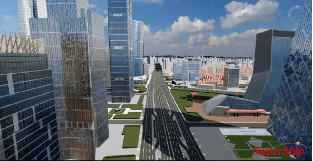
There are two types of 3D client, one is the “bulky” client represented by desktop GIS and component-based GIS SDKs. In the past, users favoured such type choosing a 3D client as they offer strong visualization capabilities and impressive effects. Howev…
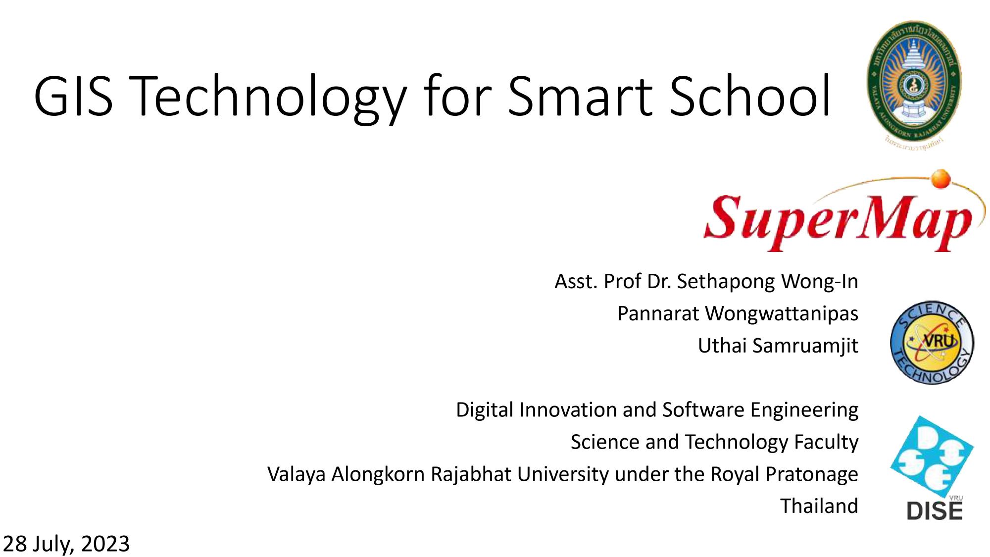
22 Aug,2023 SuperMap GIS 2023In recent years, with the maturity of 5G, industrial Internet, cloud computing and other technologies, and the deep integration of new generation information technology and manufacturing, the construction of smart cities is no longer limited to concepts. …
17 Aug,2023Geo-design is an approach that conduct planning and design based on geographic contexts. It emphasizes the environmental impact on programmes and the concept of constant upgrade according to feedback. With the innovation of relative technics, geo-design n…
08 Aug,2023 SuperMap GIS 2023At the theme conference of the 2023 Geospatial Information Software Technology Conference held on June 27, SuperMap officially released the latest version of SuperMap GIS series products - SuperMap GIS 2023. Apart from updating the current products, a num…
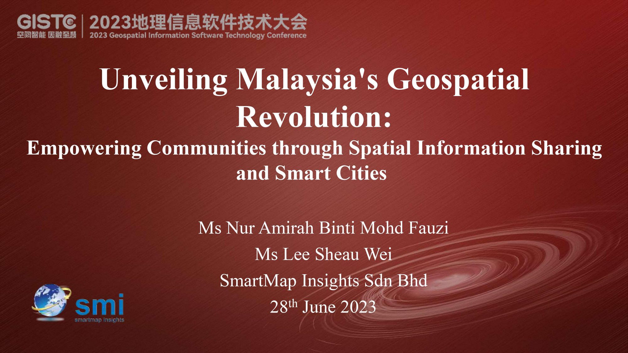
02 Aug,2023 SuperMap GIS 2023Unveiling Malaysia's Geospatial Revolution: Empowering Communities through Spatial Information Sharing and Smart Cities
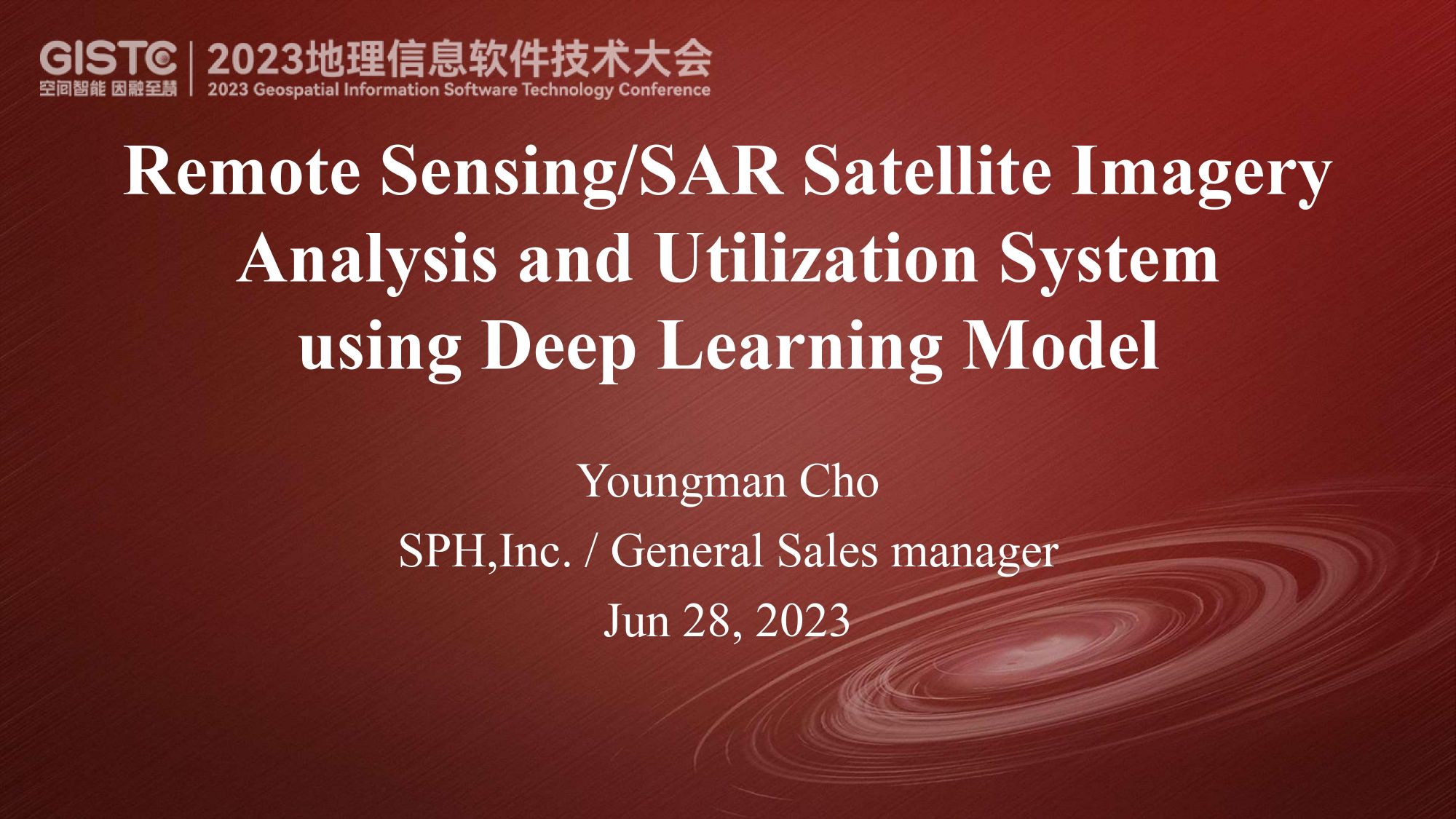
31 Jul,2023 GISTC 2023Remote Sensing/SAR Satellite Imagery Analysis and Utilization System Using Deep Learning Model by Cho Youngman at GISTC 2023
31 Jul,2023 GISTC 2023During the interval of GIS International Forum, we got the chance to interview some of the speakers who are also SuperMap’s global partners about their feelings of the conference as well as their cooperation relationship with SuperMap.Below is the interv…
31 Jul,2023