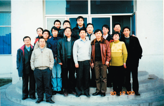
At the time, we had no startup capital. We scraped together 300,000 yuan in loans and got to work with just five or six people, Zhong Ershun recalled of the early days. From then on, making a little progress every day became the dormitory rule of the company.
09 Apr,2025Precise spatio-temporal data serves as a fundamental geographic information resource for constructing 3D real-world scenes and digital twins. The timeliness of data profoundly impacts its application quality and scope, making data updates critical for mai...
03 Apr,2025 3D SuperMapFrom a dormitory to an office building—it’s far more than just a difference in architecture. Across over two decades of change, what remains unwavering is persistence and innovation. Every footprint SuperMap has left behind is a story woven with sweat and...
27 Mar,2025In the era of digital twins, the demand for highly detailed and realistic 3D environments has become a fundamental necessity across industries. SuperMap’s 3D scene beautification technology combines innovative features with powerful rendering capabilities...
18 Mar,2025 3D 3D beautification GIS digital twin CIM BIMAI Remote Sensing Image Intepretation
03 Mar,2025 AI Remote Sensing GISInterview with Luo Jun of the China Low-Altitude Economy Alliance
25 Feb,2025 UAV low-altitude economy droneInterview with Luo Jun of the China Low-Altitude Economy Alliance
24 Feb,2025 UAV low-altitude economy drone