It is a mobile GIS software development platform based on map browsing, data collection, data analysis, and route navigation and combined with AR maps, emergency plotting, mobile 3D, cloud collaboration, etc. It is used for rapid development of online, offline, 2D, 3D mobile GIS applications, and provides advanced, professional and intelligent mobile GIS services for professional data collection product developers, industry mobile GIS product developers, and application mobile GIS product developers.
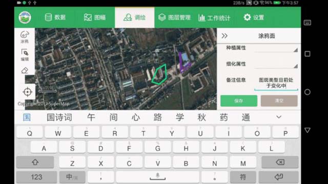
It is a full-function mobile GIS APP and developed based on SuperMap iMobile for RN framework. It supports AR, map, acquisition, 3D, cartography, plotting, analysis, navigation, cloud-terminal integrated data interaction and expansion development. It is convenient for users to process, analyze and collect GIS data on the mobile terminals. It can be found and downloaded from App Store and other Android stores.
It is a lightweight mobile GIS APP based on AR, and developed based on the SuperMap iMobile for RN framework. It supports AR real-scene measurement, AR data collection, AR map production, AR positioning, navigation, analysis, etc. It can be used for indoor and outdoor high-precision data collection, AR real-scene browsing, navigation , etc. It can be found and downloaded from App Store and other Android stores.
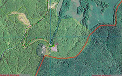
It is an application software for UAV field collection and mapping, providing functions such as spatial data collection, field investigation, mapping, inspection, and monitoring based on UAV geographic video technology. It is mainly based on UAV video measurement and collection, UAV video and map fusion management, and it is ready to use and small in size.