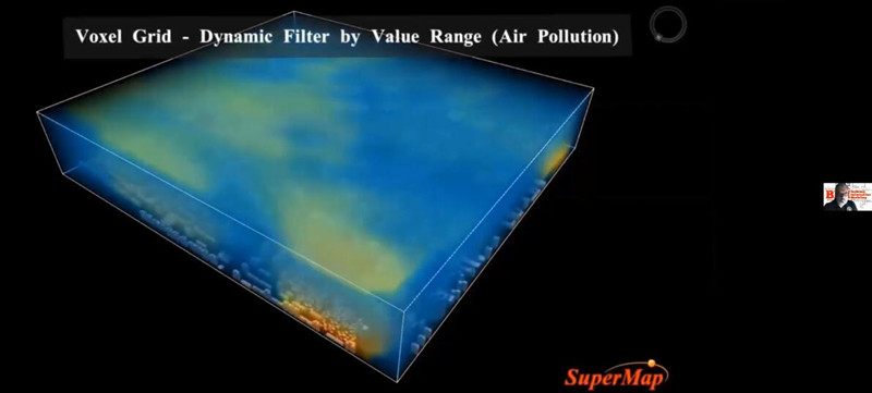
At 07:00 on September 15, 2020 (Beijing time), GIS International Forum (Spanish) was held online to share the latest SuperMap GIS technology and its Latin American applications. The forum invited Mr. Germán Pardo Albarracín, Chairman of the Colombian Engineers Association to deliver the opening speech. He said that the Colombian Association of Engineers has established a long-term partnership with SuperMap, and SuperMap has become the GIS software supplier of Columbian Engineers Association. The Association look forward to SuperMap launching more GIS technical training and sharing in the local area. During the report session, SuperMap partners from Brazil, Colombia, Bolivia, Ecuador and others shared SuperMap GIS applications and prospects in CIM, transportation, public services, film and television and other industries.

The forum attracted the participants from local government agencies, educational institutions, companies and other guests in Latin America, such as: Mr. Pedro Luis García, Chairman of the International Board of Remote Sensing and Space Information Systems in Latin America, Ms. Irene, Dean of the Colombian Military Engineering Institute, and Ms. Niurka Sóñor, Territorial Information from the History Office of the City of Camagüey, Cuba and others. For this, SuperMap would like to extend our sincere thanks to all guests, reporters and participants in the forum, we are looking forward to seeing more of you at GTC 2021~
For your further questions about the reports and SuperMap, please feel free to contact us via email:
zhangyuanyuan@supermap.com
To review the Forum in Videos, please find below:
Exploración de tecnologías distribuidas de GIS y Geo-Blockchain
Nuevas funciones y mejoras en SuperMap GIS 10i (2020)
As vantagens e desafios do uso da modelagem CIM para gestão pública nas cidades brasileiras
An Overview of SuperMap technology in Brasília University: NEAz - Challenges and Opportunities
Proyecto de seguimiento de ejecución de obras en vías vehiculares de tercer orden en Colombia
Geo-tecnologías en la gestión de servicios públicos
Aplicación de G.I.S. en la toma de Decisiones
To download the reports in PDFs, please find below:
Exploración de tecnologías distribuidas de GIS y Geo-Blockchain
Nuevas funciones y mejoras en SuperMap GIS 10i (2020)
As vantagens e desafios do uso da modelagem CIM para gestão pública nas cidades brasileiras
An Overview of SuperMap technology in Brasília University: NEAz - Challenges and Opportunities
Proyecto de seguimiento de ejecución de obras en vías vehiculares de tercer orden en Colombia
Geo-tecnologías en la gestión de servicios públicos
Aplicación de G.I.S. en la toma de Decisiones