GEO:CONNEXION INTERNATIONAL INTERVIEWS MR. KANGHONG WANG,
VICE PRESIDENT, SUPERMAP SOFTWARE CO., LTD.

GEO:connexion: As we know, SuperMap has established a good reputation in the Asian market; however, it is still a new face for European Market. Could you please share some memorable moments of SuperMap's 14 years history with us?
Mr. Wang: I am pleased to relate some important milestones in SuperMap's history. SuperMap was founded on 18 June 1997 by Professor Zhong Ershun, the analyst of the Institute of Geographic Sciences and Natural Resources Research, CAS (Chinese Academy Of Sciences), who is the Chairman of SuperMap today, along with four other employees who were working in a small graduate apartment of CAS. After 14 years growth, SuperMap now has more than 1,000 employees.
After four years of research and development, on October 30, 2000, we released SuperMap 2000, which won much attention within the GIS industry. In the same year, SuperMap Japan was established, as the first step of globalization. In 2001, we released the English and Japanese versions of the SuperMap GIS platform in succession. In 2005, SuperMap was listed in the Deloitte Technology Fast 500 Asia Pacific, as the first Chinese GIS enterprise to receive this award. Then in 2009, we received the same award again. Also in 2009, SuperMap went public on the Shenzhen Stock Exchange of China (300036.SZ).
GEO:connexion: Concerning the key technologies of SuperMap GIS, could you please tell us about the milestones?
Mr. Wang: SuperMap has been innovating its technologies since the beginning in 1997. In order to improve the performance of our GIS products, we have implemented the SDX+, Universal GIS, Service GIS, and Realspace GIS into the current SuperMap GIS products.

Key Technologies developed by SuperMap
SuperMap SDX+ is the spatial data engine for SuperMap GIS products used to store, access, index, and update the spatial data. SuperMap GIS products, SuperMap Deskpro, SuperMap Objects, and SuperMap IS .NET, for example, all have SuperMap SDX+ built in them.
In order to change the situation that all GIS kernels are developed based on Windows, we made an important decision in 2002 to develop the Universal GIS programme. Through our effort, Universal GIS (UGC) 1.0 was launched in 2005, which is an ideal software architecture that supports any existing computing device, operating system, programming language, and database as well as data formats.
In 2006, SuperMap started the Service GIS R&D programme based on UGC technology. In order to ease our customer's work for the implementation of Service Oriented Architecture (SOA), SuperMap incorporates the Service GIS technology in almost all SuperMap GIS products.
By the end of 2009, we released SuperMap GIS 6R. It integrated Realspace GIS technology. As we know, 3D GIS is becoming more and more popular and practical, yet the traditional 2D GIS is still irreplaceable because of its macroscopicness, comprehensiveness and wide application. To meet the challenge of integrating 2D and 3D GIS, SuperMap innovates the Realspace GIS technology which makes it easy and seamless to integrate 2D with 3D. I believe that this technology will be a big influence on the application of GIS.

The SuperMap GIS Product Family
GEO:connexion: From your website, we know SuperMap has offered more than sixty typical industry solutions and has listed a new concept of the Application Platform software. Could you please tell us something about the key features of this Application Platform software?
Mr. Wang: Application Platform software is the most vital project since SuperMap has been listed. Nowadays, most GIS software applications are directly developed based on basic GIS platform software and involve large amounts of work. The life cycle of a GIS project is usually quite long, and a developer company has limited resources to handle too many projects. If the number of employees has to be greatly enlarged, the management task introduces a bigger risk. This can also cause an obstacle for developers on a growth path.
According to the analysis we conducted, we put more attention into developing Application Platform software which comprises general feature requirements of diverse industries. What's more, we could also allow customization and extension development for the developers based on their needs which largely minimize their personal resources. Therefore, the effectiveness as well as the profit will be greatly maximized and (will) largely enhance the marketing competitiveness of the company.
GEO:connexion: Regarding the opportunities brought by cloud computing, do you have a relevant strategy?
Mr. Wang: Cloud computing provides extensible calculating resources, much in demanded for processing GIS data which requires complicated calculations. So far, we are focusing on two main issues within this field. Firstly, we intend to provide a series of GIS platforms with cloud computing technology. Because private cloud computing is highly required by GIS, particularly within the field of professional market, largely occupied by governments, the private GIS platform will become much more valuable in the coming days. Secondly, we will put much of our effort into establishing a public cloud which could directly provide application services for our clients.
Two years ago, we organized several professional groups who are conducting the research regarding the service model allowing cloud computing directly providing services for the clients. The reason for this is because GIS is a sort of 'luxury' product for many customers. They not only have to buy a GIS platform, as well as the data, but also they have to pay large amounts of money to developer companies. We have found that the consumption for luxury GIS is not accepted even by some large-scale entrepreneurs. Therefore, we need a new model which could largely lower the price of GIS products and services. Thus the products, designed specifically for a client, could be directly installed on the servers, and the client only needs to rent it instead of purchasing it.
We have already accomplished the testing of our GIS platform products on some private cloud platforms jointly with our partners including IBM, Redhat and Microsoft. The result shows that our GIS platform products can smoothly run on those private cloud platforms. Meanwhile, we have already constructed a demo system on the Microsoft public cloud. Thus, our customers and partners can start to enjoy both private clouds and public clouds with SuperMap GIS platform from now.
GEO:connexion: SuperMap has already achieved a high reputation in Asia, particularly within Chinese market. Does SuperMap hold any further plans or marketing strategy for the European market in the coming years?
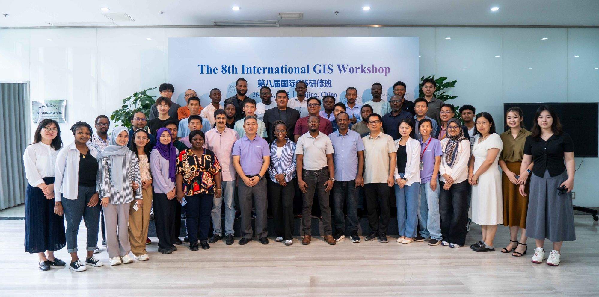
Mr. Wang: I have to say that the European market is taken very seriously by SuperMap. We have already obtained some distributors in The Netherlands and Sweden. We went to Germany twice to attend exhibitions and identify distributors, plus visiting some universities, last year. This year we plan to go to Europe to attend more exhibitions and visit more distributors and local clients, in order to introduce and promote our products within the European market. In the meantime, all distributors and partners from around Europe are welcome to come to Beijing, China, this September, for our SuperMap GIS Conference 2011. You could get more information of this Conference from our official website.

GeograFIKS Web GIS Developed by Swedish Distributor

Municipality GIS for Nykoping, Sweden
GEO:connexion: How do you foresee the GIS industry and market in the future? What role will SuperMap play?
Mr. Wang: Until now, GIS seems to be used mainly by government agencies. I believe that more and more middle- to large-scale companies, as well as government agencies, will save cost and increase effectiveness as the result of GIS technology. The product, Customer Service GIS, has been developed by us for the Haier Group, making customer service more efficient and cost-effective. I believe that GIS technologies will eventually play a vital role in our daily lives.
As for the role of SuperMap in the GIS industry, our slogan properly explains it: "GIS Creates Values, We Innovate GIS". Our innovation is implemented not only in our platform software, but also in the applications.


SuperMap Annual Meeting 2011
Source: GEOconnexion International Magazine June 2011 Volume 10 · Issue 6