Combined with its own technical and business advantages in geographic information, digital twins, GeoAI and other fields, and in cooperation with Hohai University, Nanjing Normal University, Nanjing University of Posts and Telecommunications and other well-known research institutions, Nanjing Guotu has developed a digital twin water conservancy solution. The core content of the program is "1+1+3", that is, 1 set of standards, 1 database, and 3 systems.
Among them, a set of standards focuses on the construction of digital twin water conservancy standards and norms, guiding the orderly development of Guotu digital twin water conservancy product construction; a database focuses on the integration and aggregation of digital twin water conservancy data, and builds a spatio-temporal big data warehouse of water conservancy resources; three systems focus on the management, display and analysis of water conservancy data, and perform precise, comprehensive and dynamic simulation of water conservancy space.
A set of standards and norms of digital twin water conservancy
This system is based on the relevant standards, norms and policies promulgated by the national and municipal departments. Combined with the needs and goals of digital twin water conservancy construction, and from the three dimensions of data, technology, and management, a set of digital twin water conservancy platform construction and operation standards and norms has been formed to give full play to the fundamental, strategic, and leading role of standardization in data "aggregation, governance, management and use", which will provide a theoretical basis for digital twin water conservancy products
A Digital Twin Water Conservancy Full Time and Space Database
1.Integrating data to build a digital twin water conservancy big data center
Based on data standards and norms related to the water conservancy industry, Guotu has sorted out the catalog of water conservancy data resources, accessed and integrated multi-scale, multi-granularity, and multi-dimensional water conservancy data, including basic geospatial data, business management data, monitoring perception data, cross-industry shared data, etc. After standardized processing, a digital twin water conservancy big data center has been formed to provide users with data services of unified standard.
2.Classifying data to form a panorama of water conservancy spatio-temporal big data
By classifying, fusing and aggregating multi-scale, multi-granularity, and multi-dimensional water conservancy data, a water conservancy data resource pool with consistent standards will be built to form a panorama of water conservancy spatio-temporal big data, which will provide users with comprehensive, multi-temporal, and multi-granularity full-time and full-space data resource services.
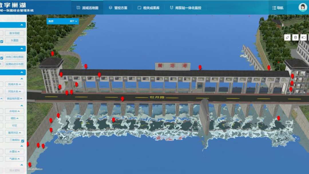
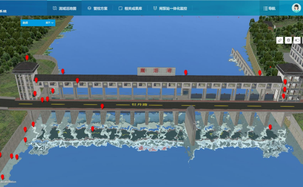
Three systems: The digital twin water basin management system
The digital twin water basin management system is the basis of digital twin water conservancy products. Its main task is to build a data base to provide massive data for simulation and knowledge services. This product builds a unified portal, accesses multi-source water conservancy spatio-temporal data, breaks data barriers, and realizes unified data management; it establishes virtual mapping from physical space to digital space to construct a panorama of water conservancy spatio-temporal data; it also comprehensively uses new technologies such as cloud computing and big data Information to provide massive data analysis, and realize fine, comprehensive and dynamic simulation of water conservancy space.
Three systems: the digital twin simulation system
The digital twin simulation system is an upgrade of the digital twin water basin management system. Its main task is to provide high-fidelity, low-latency, and high-stability 3D visualization scenes, providing support for detailed, quantitative, dynamic, and intuitive calculation and analysis. This product is based on UE4 large-scene high-efficiency graphics visualization technology, with the help of a series of technologies such as lightweight + webp + block storage + sub-domain, to improve the overall loading efficiency and browsing fluency, and to achieve high-fidelity and high-quality spatial expression and simulation modeling of multi-source, multi-dimensional, and multi-scale data.
Three systems: the digital twin knowledge service system
The digital twin knowledge service system is the core content and ultimate goal of digital twin water conservancy products. Its main task is to integrate and couple multi-dimensional, and multi-temporal and spatial-scale data models to provide capability in analysis, stimulation, expression and decision-making. On the basis of sharing various calculation models and calculation results of the Ministry of Water Resources and river basin management agencies, this product builds water conservancy professional models, artificial intelligence models, and water conservancy knowledge models on demand to form a digital twin water conservancy model library, providing intelligent services such as engineering scheduling, security monitoring and knowledge mining to realize comprehensive decision-making and command functions of "forecast, early warning, rehearsal, and planning".
1. Integrating water conservancy professional models to promote accurate water conservancy simulation
Cooperating with Hohai University-Nanjing Guotu Industry and Education Integration Practice and Training Base, this module focuses on the fields of smart water conservancy and space intelligence. It is committed to creating a professional hydrology-hydrodynamics-water quality coupling model to support flood control and drought relief in river basins and regions, the dispatch management of water resources and environment, the flood control, drainage and the treatment of water environment of smart cities, the emergency dispatch and command of water pollution in large rivers, etc. to promote the precise simulation and analysis of water conservancy.
2. Introducing AI intelligent model to help with water conservancy decision-making
Using remote sensing AI, video AI and other technologies, the system can automatically interpret and process remote sensing images, and realize large-scale dynamic monitoring and early warning of rainwater conditions, industrial conditions, dangerous conditions, drought conditions, soil erosion, water quality and water environment, illegal sand mining, and shoreline occupation of water basins to improve safety monitoring capabilities.
3.Establishing a water conservancy knowledge model to support water conservancy knowledge services
Driven by the model base and knowledge base, the system can quickly analyze, judge, and improve the emergency plan, and coordinate with personnel-terminal information interaction. This will help provide support for multi-party consultations within the unit and with river basin management agencies and the Ministry of Water Resources, as well as emergency dispatch and command of related manpower and material resources.