The Smart Digital Foundation for Water Affairs mainly utilizes technologies including BIM, GIS, cloud native, and micro-service. It supports the collection, storage, management and use of foundation data resources through the development of foundation data management and maintenance systems. By building a customized GIS platform for water affairs, it provides unified, standard, abundant and safe 2D and 3D GIS services for urban water bureaus. By creating One Map of water affairs, it can visualize the data assets of water affairs to assist water authority managers in decision-making.
SuperMap undertook the project of a city’s water affairs big data and application platform's spatial data governance, foundation data management and maintenance system, and GIS customized platform. This project built a water affairs data foundation, providing a wealth of 2D and 3D GIS services for water affairs, aiding in water security, water resources, water environment, water ecology, water construction, water affairs, etc.
Build a data foundation with more effective data management and maintenance
The construction of the water data foundation is oriented by needs, with data assets as the core and link, to create an integrated governance chain of water data production, collection, cleaning, integration, service, and application.
The data management and maintenance system is one of the carriers for this foundation. It establishes a unified entry for data, forms a one-to-one source management mechanism and a long-term data update mechanism, performs integrated maintenance on the data, and promotes the collaborative management of data.
After the system was in use, 24 data source departments participated in the data filling and verification, which improved the accuracy and integrity of water data assets.
Build a customized GIS platform with 2D-3D Integrated services for water affairs
Based on the new generation of 3D GIS, SuperMap built a unified customed GIS platform for water affairs to support application systems. It provides water affairs basic layer services, thematic layer services, comprehensive query services, spatial analysis services, BIM and GIS integration services, and video and GIS integration services. At the same time, the water affairs data and service resource management systems was built to standardize the management of service resources, and conduct whole-process management of service registration, release, application, approval, and authorization and monitoring.
As shown in Figure 1, users can use the distribution points of rainfall stations, real-time rainfall and spatial analysis services to generate rainfall isosurface maps in the system to visually present heavy and light rainfall areas, assisting in the decision-making of departments.
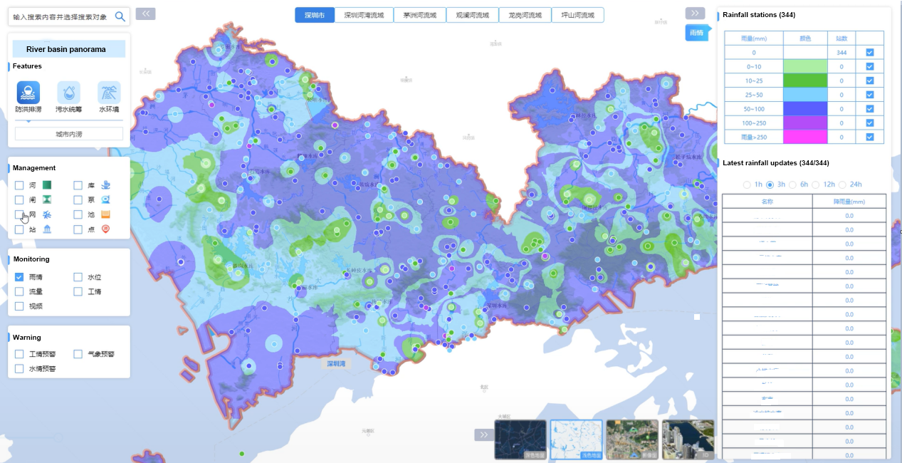
Figure 1
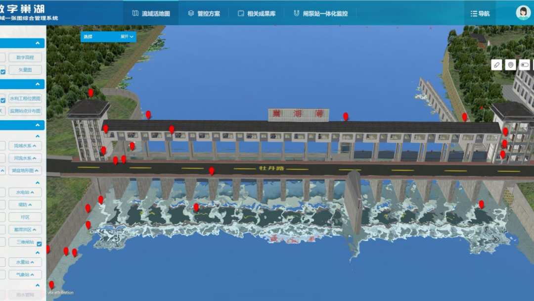
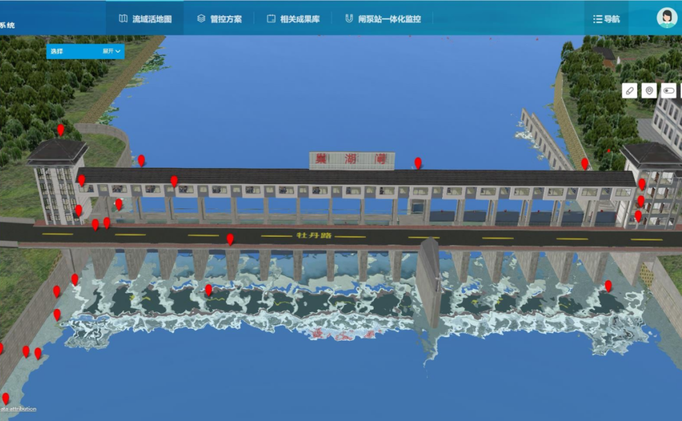
As shown in Figure 2, based on BIM+GIS+IoT technology, SuperMap integrates data such as reservoir dams and electromechanical equipment BIM models, terrain, remote sensing images, and IoT perception to build a panorama of reservoir operation. It enables users to understand the real-time status of the reservoir.
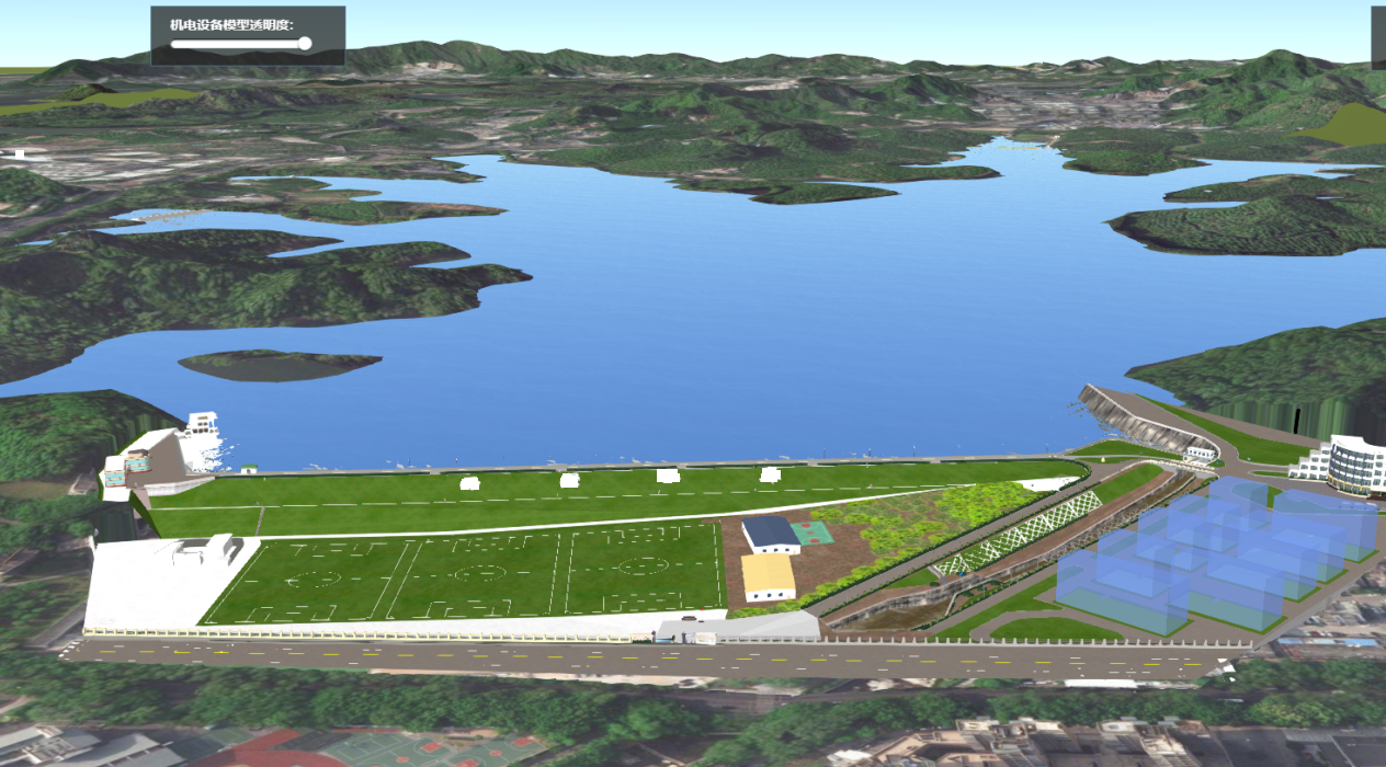
Figure 2
One Map to achieve the refined management of all elements of city water affairs
One Map of Water Affairs is based on 2D and 3D visualization technology. It integrates basic geography, water affairs basic objects, real-time monitoring, water relations, oblique photography, and BIM models, and has the functions of browsing, querying, and analyzing.
As shown in Figure 3, through the overlay analysis of the river channel management range and urban housing data, the houses within the range can be screened out, and the house basic information and population structure information can be viewed.
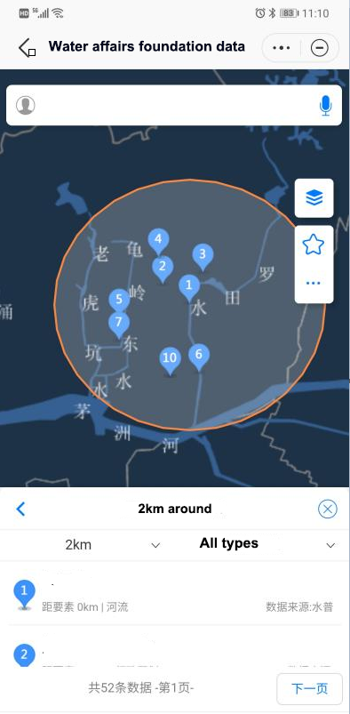
Figure 3
In order to quickly and conveniently browse the digital assets of water affairs, and facilitate users to inquire about water affairs objects and status information anytime and anywhere, SuperMap has built water affairs one-map mobile terminal, which has the functions of querying and browsing water affairs basic information, data asset statistics, water affairs video surveillance, and real-time monitoring and early warning of water levels.
Water affairs managers can understand the current status of project construction by browsing the project panorama. For example, when an accident occurs in a reservoir, the personnel can check the video surveillance to know the on-site situation in real time. When the grassroots personnel need to inspect the water projects, they can use the surrounding query function to find the surrounding water works and be navigated by the system.