The “4th International Workshop on GIS Technology and Application” was held online from Nov 30 to Dec 2. Organized by SuperMap and co-sponsored by the Chinese Society for Geodesy Photogrammetry and Cartography and FIG (International Federation of Surveyors), this workshop commenced in 2018 with the mission of expanding international exchanges of the geospatial industry and promoting the application of GIS technologies in the global tech industry, commerce, and education.
In addition to the annual English workshop, a workshop in Spanish facing the Americas was conducted this year. Nearly 400 government officials, university professors, and technical directors from 84 countries such as Russia, Pakistan, India, Afghanistan, the U.K., France, Australia, Nigeria, Egypt, Botswana, Brazil, and Colombia attended the workshop after the examination of the registration list.
Prof. Dr. Rudolf Staiger, President of the International Federation of Surveyors (FIG), Peng Zhenzhong, Vice President and Secretary-General of the Chinese Society for Geodesy Photogrammetry and Cartography, and Ricardo López Rivera, Director of the Mexican Bureau of Surveying and Mapping, delivered opening speeches. They expressed a warm welcome to attendees and the expectation of the workshop to contribute to strengthening international technical exchanges in the field of geographic information. Also, they encouraged participants to promote the wide application of GIS cutting-edge technologies in broader areas around the globe.
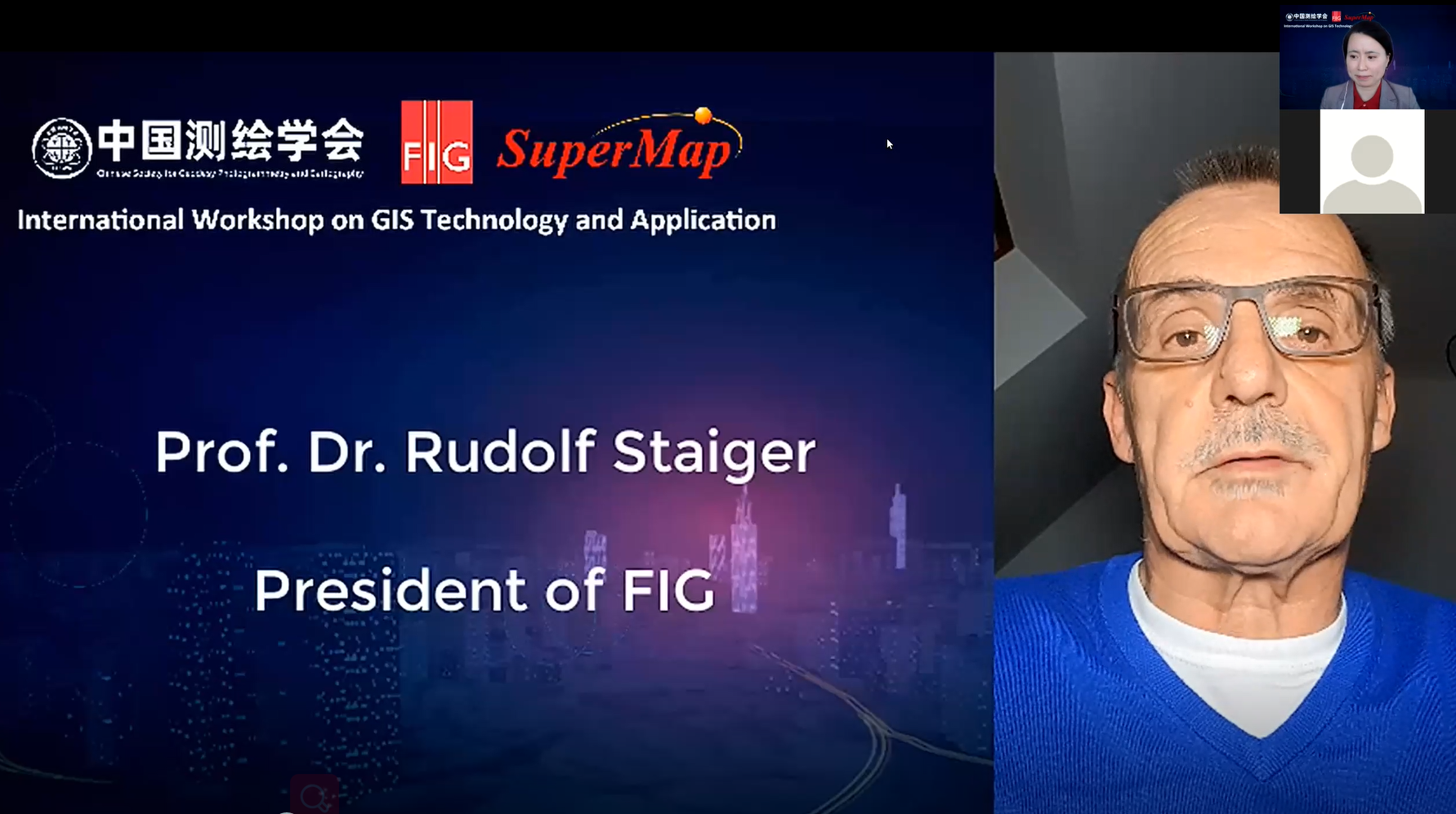
Opening Speech by Prof. Dr. Rudolf Staiger in the English Workshop
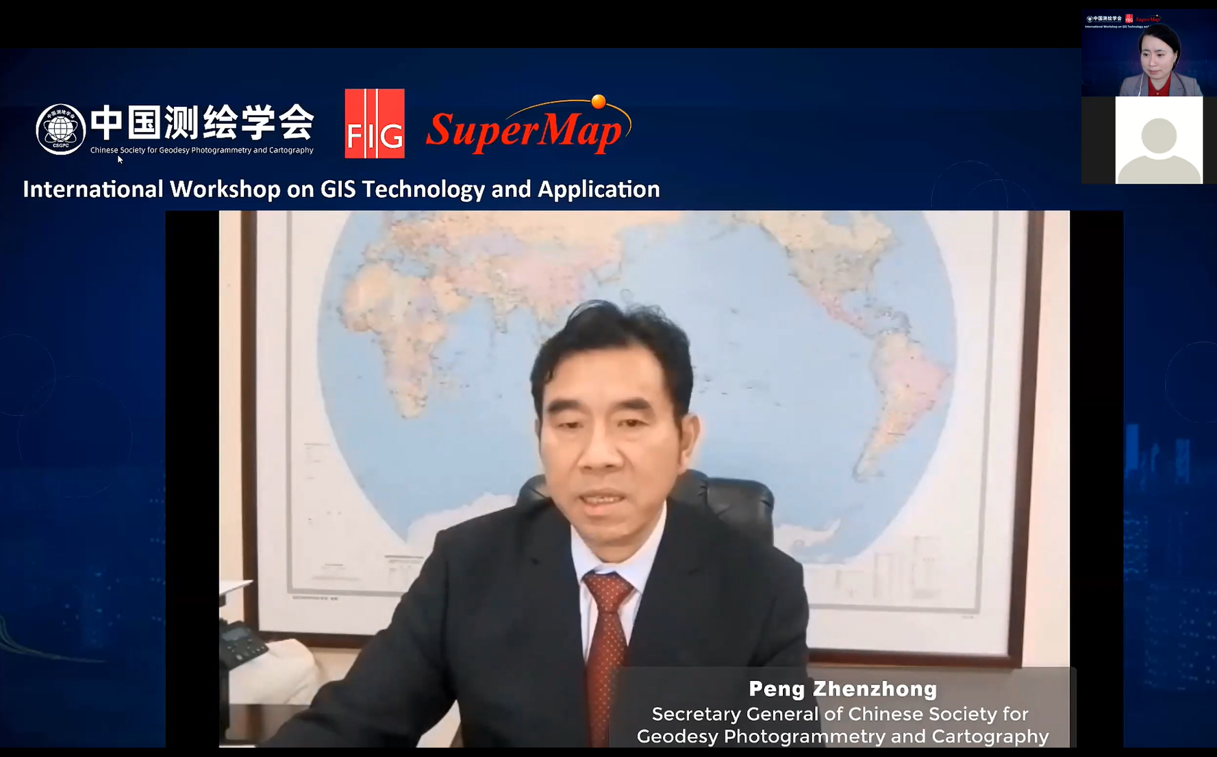
Opening Speech by Peng Zhenzhong in the English Workshop

Opening Speech by Ricardo López Rivera in the Spanish Workshop
In the 3-day workshop, 19 industry-renowned experts from all over the world delivered informative reports on hot topics of GIS technology and application such as 3D GIS, BIM+GIS, AI GIS, and the application in the smart city, natural resources and environment, and cadastral management. The attendees watched the online report and vigorously exchanged views in the Q&A session. This workshop also provided GIS operation and practical guidance for all attendees. At the end of the workshop, attendees had a test to consolidate the knowledge of the workshop and explore the application value of GIS in practice.
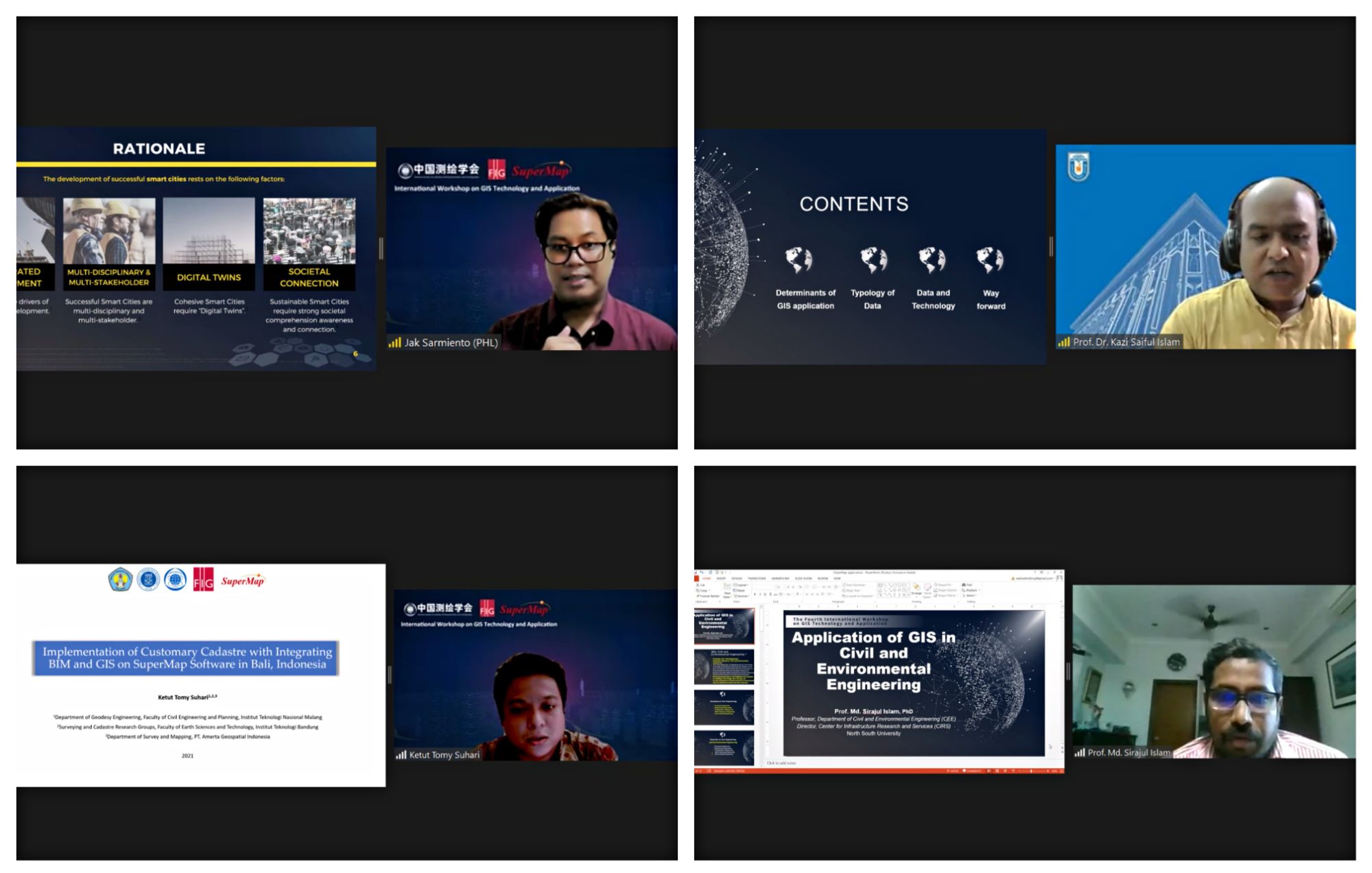

Speakers
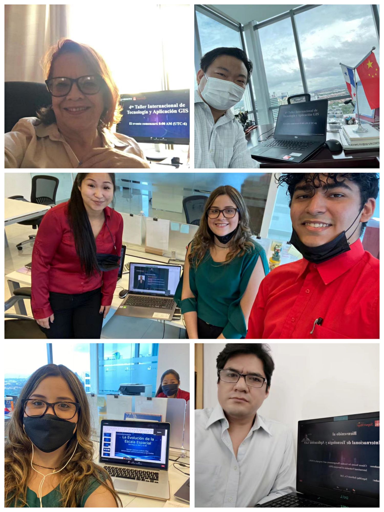
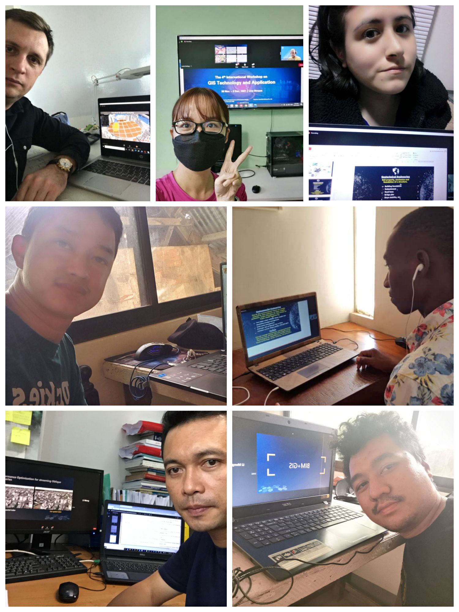
Participants
For your further questions about the reports and SuperMap, please feel free to contact us via email:
zhangyuanyuan@supermap.com
To review the workshop in Videos, please find below:
Videos of the first day:
English Workshop
GIS in Urban & Regional Planning
Implementation of Customary Cadastre with Integrating BIM and GIS on SuperMap Software in Bali
GIS in Civil and Environmental Engineering
Spanish Workshop
Infraestructura de datos espaciales Municipales en Bolivia
Videos of the second day:
English Workshop
Applications and Techniques of Artificial Intelligence GIS
Full-process Image Management Technology Solution
Heavy Equipment Monitorng System for Mining (CHC x SuperMap)
Land Use Evaluation Promoted by GIS Model
Education and Research in Geomatics Engineering
Spanish Workshop
Aplicacion de los GIS y los sensores remotos en Ciencia de Agua
Inclusión geotecnologica y gestión de agua
Catastro y su relación con GIS
La eficiencia e inteligencia de la tecnología de GIS
Videos of the third day:
Calculate Field with Expression
3D GIS Technology for Urban Planning
GIS Technology for Land Use Evaluation
To download the reports in PDFs, please find below:
Reports of the first day:
English Workshop
GIS in Urban & Regional Planning
Implementation of Customary Cadastre with Integrating BIM and GIS on SuperMap Software in Bali
GIS in Civil and Environmental Engineering
Spanish Workshop