On 14 June, the First Mongolia-China Forum on Geospatial Information Industry Development was successfully held in Ulaanbaatar, Mongolia. The forum was organized by China Association for Geospatial Information Society and Mongolian Association of Geodesy, Photogrammetry and Cartography. There were about 30 representatives from China geographic information industry and about 150 representatives from the Mongolian surveying and mapping geographic information industry attended the forum.

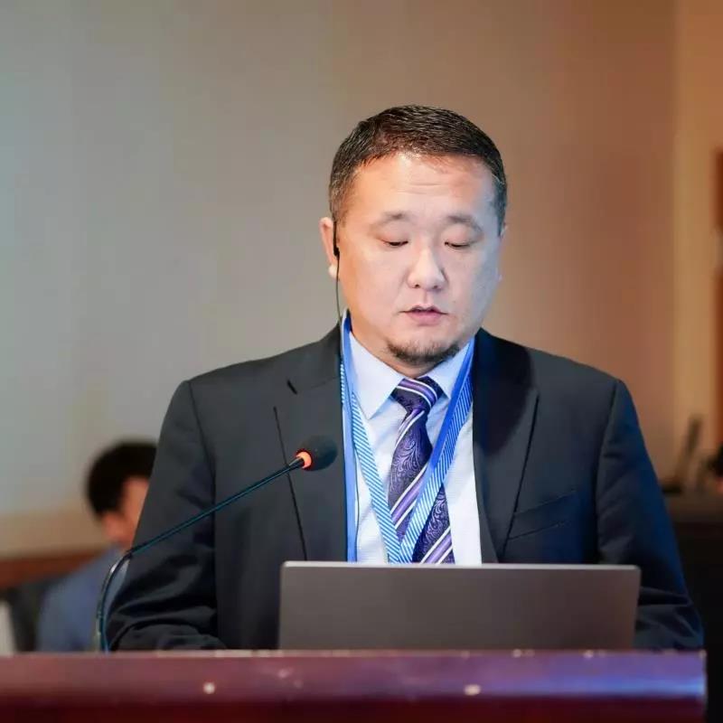
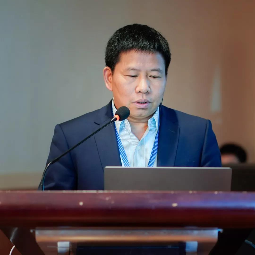
During the forum, the leaders from both countries’ geospatial information industry made reports on the development issues of geospatial information industry in Mongolia and China. Mr. O.Khosbayar, President of Mongolian Association of Geodesy, Photogrammetry and Cartography gave a brief introduction of MAGPC with the title “Current situation and challenges of enterprises, Opportunities for cooperation”, Ms. Wang Zengning, Secretary General of China Geographic Information Industry Association delivered a report of “Introduction to China Association for Geospatial Information Society”. Also, Mr. Song Guanfu, Vice President of China Geographic Information Industry Association and President of SuperMap Software Co., Ltd, delivered the "China Geographic Information Industry Development" report to introduce the development of China's geographic information industry from three aspects: the status of geospatial information industry, the progress in geospatial infrastructure construction, the surveying and mapping geographic information management and industrial development policy.

Mr. O.Khosbayar, President of Mongolian Association of Geodesy, Photogrammetry and Cartography

Ms. Wang Zengning, Secretary General of China Geographic Information Industry Association

Mr. Song Guanfu, Vice President of China Geographic Information Industry Association and President of SuperMap
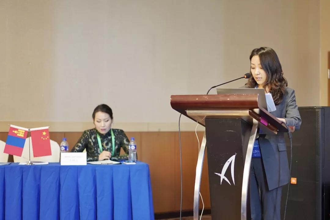
In the “Introductions to high-tech and innovative products and services of Chinese enterprises” Session, Ms. Dari, Regional Business Manager of SuperMap International made a report of “An Introduction to the New Generation of 3D GIS Technologies”.

Ms. Dari, the regional business manager of SuperMap International
Also, China Association for Geospatial Information Society and Mongolian Association of Geodesy signed a memorandum of cooperation to enhance the cooperation between the two countries' geographic information industry in the fields of scientific research, training, technology, commerce, investment, etc. At the end of the forum, the entrepreneurs of both sides conducted exchanges and communications. Mongolian geospatial information industry participants showed great interest in China's geographic information industry policy, development, work mode, and related technologies and products.

SuperMap, as one of the important enterprises in the forum, got many knowledge and experience in Mongolian GIS industry. At the same time, government departments and university laboratory leaders and participants from Mongolia expressed strong interest in the products and technologies of SuperMap. They hope to strengthen business communication and cooperation with SuperMap to further deepen the application of GIS in Mongolia and to promote the development of Mongolia's geographic information industry.
China and Mongolia are good neighbors with linked mountains and rivers. The year of 2019 is the 70th anniversary of the establishment of diplomatic relations between China and Mongolia. The Mongolia-China Forum on Geospatial Information Industry Development is a great significance not only for promoting the development of the geographic information industry of the two countries, but also for the 70th anniversary of the establishment of diplomatic relations.