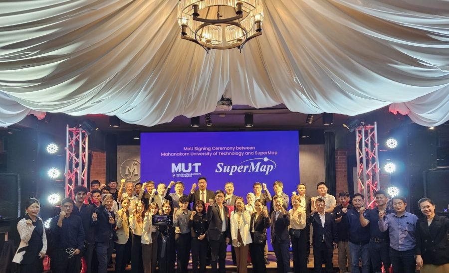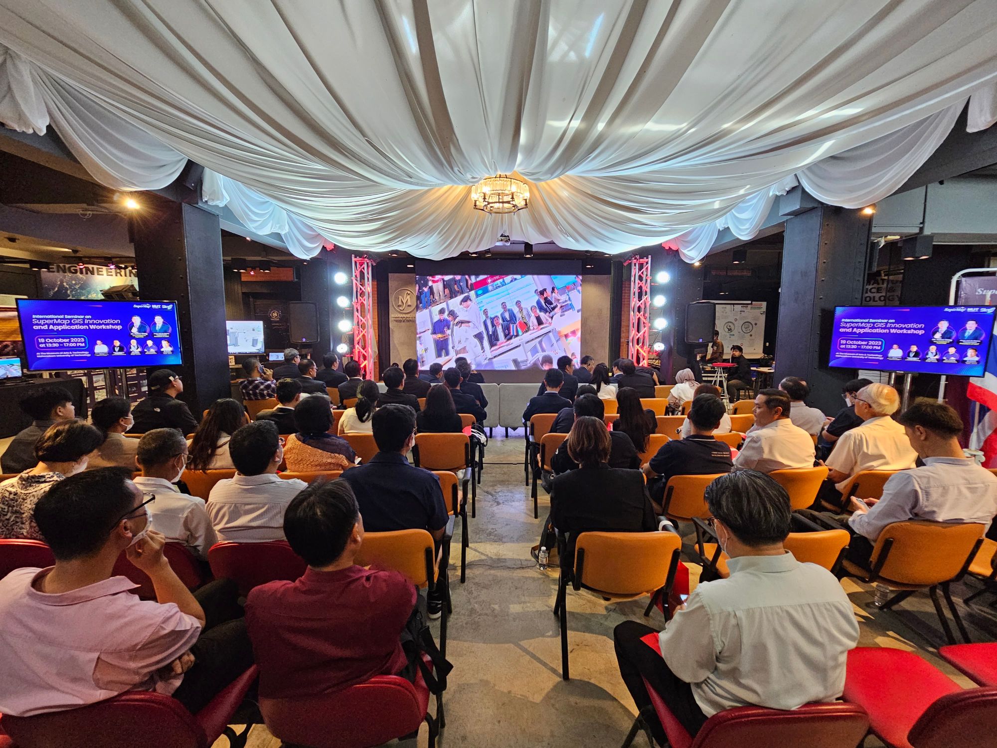
On October 19th, following the footsteps of SuperMap International colleagues, let us witness the third stop of SuperMap's overseas tour - SuperMap GIS Innovation and Application Workshop and Partner Signing Ceremony – in Mahanakorn University of Technology (MUT), Bangkok, Thailand. The theme of this event is "Geospatial Intelligence: Next Step Forward for Developing Smart City in Thailand". More than 100 government and business representatives from urban planning, agriculture, remote sensing, and other fields, as well as industry experts from MUT, participated in the workshop. The event received great attention from local partners and industry counterparts. Friends from Chiang Mai, Chiang Rai, Khon Kaen, and other cities came to actively participate in the event.
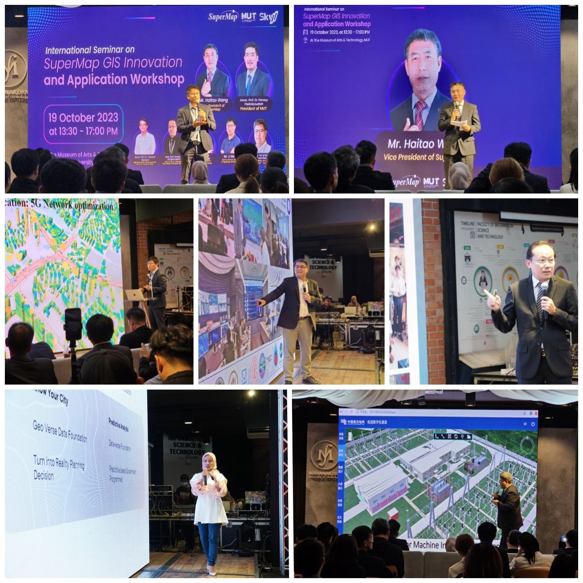
The workshop was hosted by Somporn Mangmee, Board Member of Thailand Institute of Scientific and Technological Research. Focusing on topics such as satellite technology research and application, smart city construction in Thailand, GIS solutions in Indonesia, and the Latest Development of SuperMap 3D GIS Technology, Asst. Prof. Sompong Liangrocapart, Head of Physics Department, MUT, Assoc. Prof. Dr. Tarawut Boonlua, Head of Research and Development Unit for Smart City Solution, SuperMap Indonesia Country Manager Nikma Fista Safrina, and many experts from SuperMap gave wonderful thematic reports and had heated discussions with the guests on how to apply GIS technology to empower smart city development and other topics. SuperMap expert employees and local industry experts and industry insiders shared cutting-edge technologies, discussed GIS application cases and development prospects in local industries, aiming to share development results with everyone.
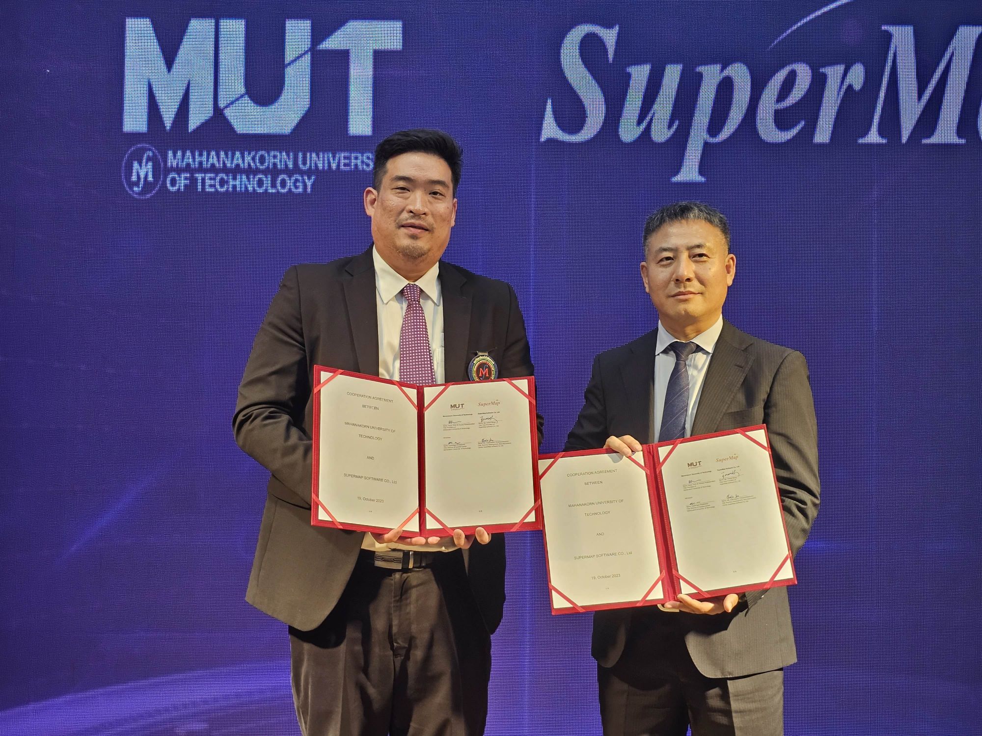
▲Mr. Wang Haitao, and Assoc. Prof. Dr. Panavy Pookaiyaudom signed the MOU
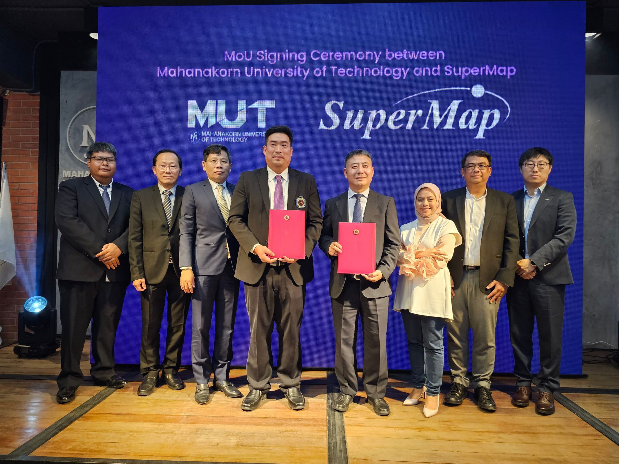
At the conference, Mr. Wang Haitao, Vice President of SuperMap Software Group and President of SuperMap International, and Assoc. Prof. Dr. Panavy Pookaiyaudom, President of MUT signed a MOU on behalf of both parties. In the future, SuperMap and MUT will work together to carry out scientific research projects combining geographic information software technology and remote sensing technology and apply the research results to agriculture, forestry, natural disasters, and other fields to improve the digital application in Thailand's related fields.
MUT is a private technical university located in Bangkok, Thailand. Established in 1990, the school focuses on cultivating higher science and engineering talents and is well-known in Thailand in the fields of education and scientific research. It is one of Thailand's few universities with a remote sensing satellite data ground receiving station.
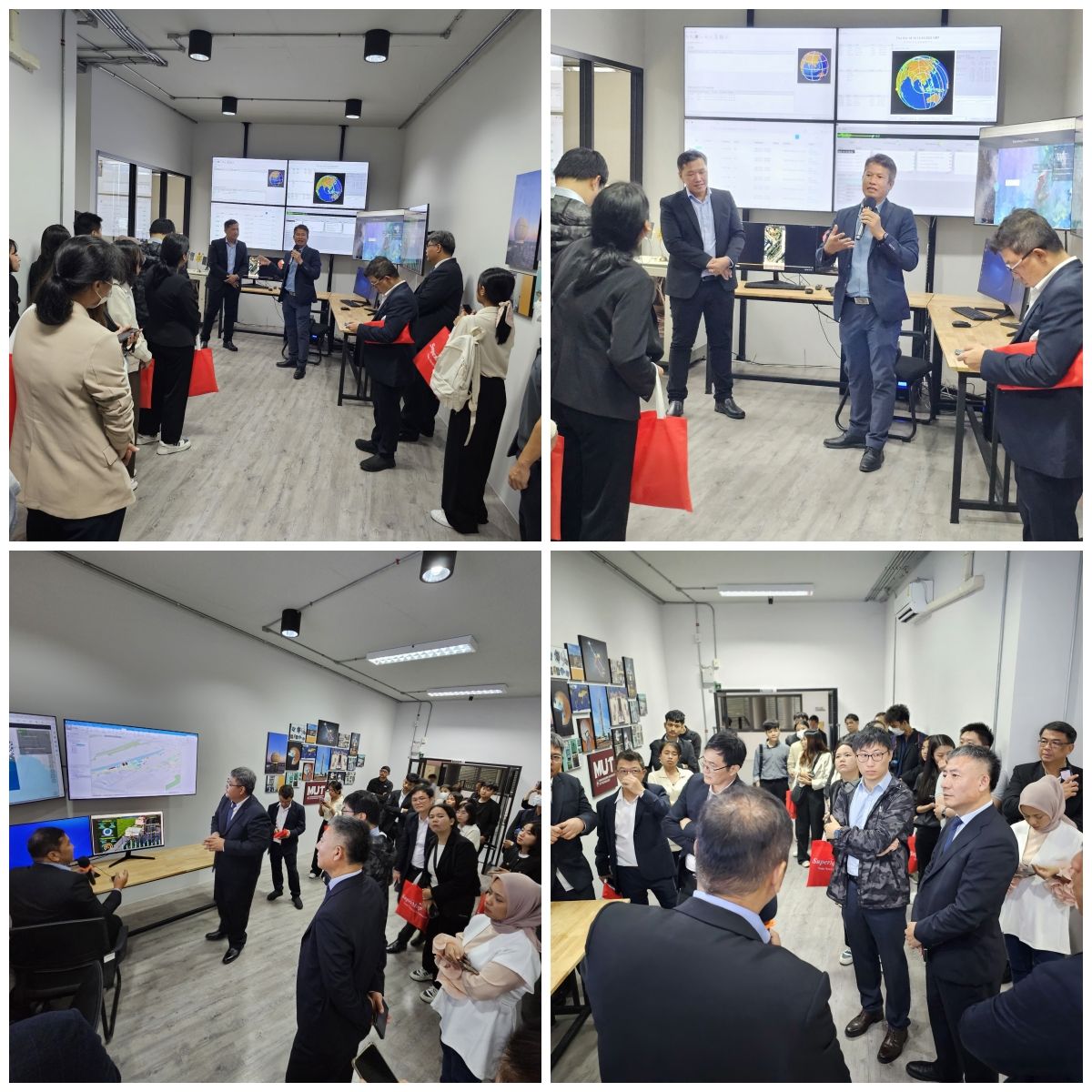
▲The guests visited the Remote Sensing and Geographic Information Application Laboratory of MUT
This year in July, MUT invited SuperMap to join its Remote Sensing Application Laboratory to provide the laboratory with advanced geographic information software technology and at the same time, upgrade the laboratory to a Remote Sensing and Geographic Information Application Laboratory. In this workshop, MUT showcased its applications and scientific research projects such as large-screen marine pollution monitoring, which attracted the interest and attention of the guests.
Mr. Wang Haitao said in his opening speech that in the future, SuperMap would work with MUT to use advanced remote sensing and geospatial intelligence technologies to provide better services to Thai partners and users. Assoc. Prof. Dr. Panavy Pookaiyaudom also said that the cooperation with SuperMap would be an important milestone in the development history of both parties. They will work together to innovate and achieve high-quality cooperation results, providing strong momentum to the development of smart cities in Thailand.
Thailand is a major economy in Southeast Asia with huge application demands in the GIS industry. SuperMap has established cooperation with many partners and users in Thailand. In the fields from agriculture, water conservancy, to cadastral management and urban smart fields, SuperMap and its partners use innovative technologies to serve the development of local industries and provide customized solutions that meet the needs of users.
So far, SuperMap's overseas tour has visited three countries: the Philippines, Indonesia and Thailand. We work with local governments, academic experts and enterprises to explore the innovation and application of geographic information technology and provide support and assistance for local urban development. In November this year, SuperMap will go beyond Asia and enter Mexico and Kenya. Focusing on local informatization development needs and joining hands with partners, we will bring more cutting-edge geospatial intelligence technologies and application solutions.
