On November 21, 2024, the first-ever CNTIG User Conference was held by CNTIG (Comité National de Télédétection et d'Information Géographique en Côte d'Ivoire) in Abidjan, under the theme "Harnessing Geo-Decision-Making Tools to Deal with Challenges and Improve Operational Performance." (French: L’appropriation des outils géo-décisionnels pour relever les défis et améliorer les performances opérationnelles des structures). The event brought together high-level political leaders, industry experts, and academic professionals to explore how cutting-edge geographic information technology can help address challenges in urban development and natural resource management.
As a key partner and GIS platform provider for the conference, SuperMap showcased its technological innovation and engaged in meaningful discussions through booth presentations, special reports, and interactive sessions.
A Landmark Event in Côte d'Ivoire
Hosted by CNTIG, the conference served as an open platform to promote the adoption of geo-decision-making tools across various sectors in Côte d'Ivoire and Africa. Prominent attendees included Jean-Marc Bédié from the Prime Minister's Office, Honorable WOI Mela Gaston Aimé, the Deputy Speaker of the National Assembly, and Azie Elvis, Director General of UVICOCI and other representatives from the Prime Minister's Office, ministries, and local governments.
The program featured a mix of activities, including drone demonstrations, immersive technology exhibits, and focused seminars. Dr. Édouard Fonh-Gbéi, CNTIG Director General described the event as a "valuable opportunity to exchange ideas and address real-world challenges," while also providing insights to refine future solutions.
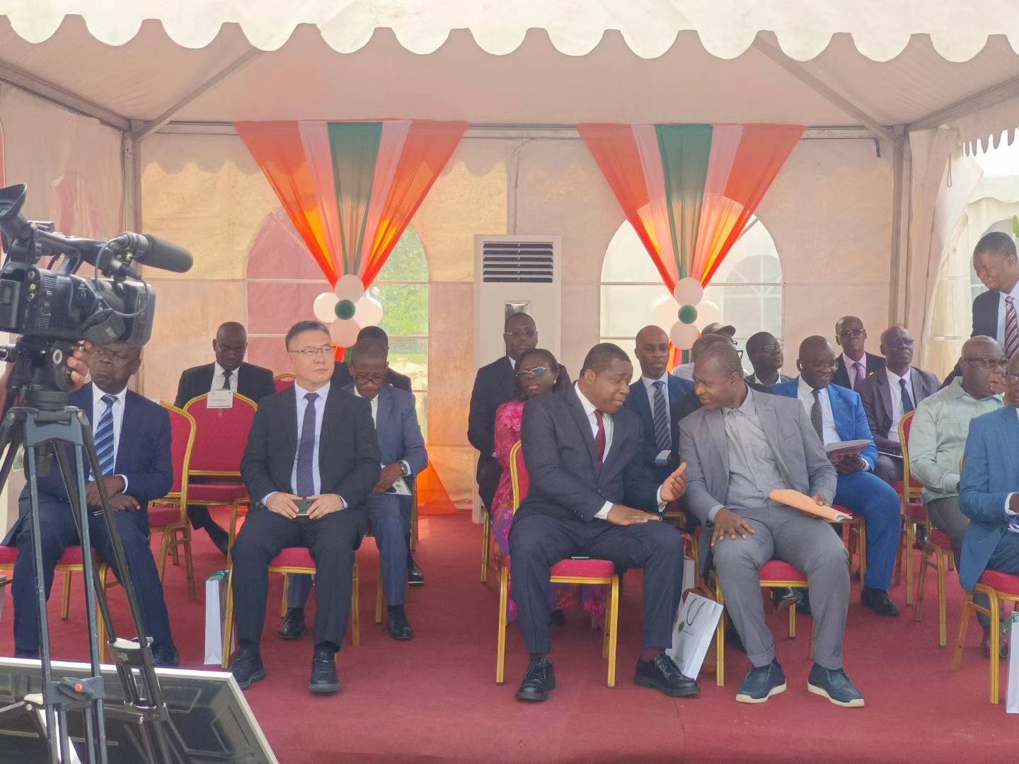
Special Report: Driving Innovation and Digital Transformation
SuperMap delegation actively participated in the conference. In his role as a member of the presidium, Mr. Wang Haitao, vice president of SuperMap and president of SuperMap International, engaged with high-ranking officials, including Jean-Marc Bédié, to discuss the potential of GIS technology in government management.
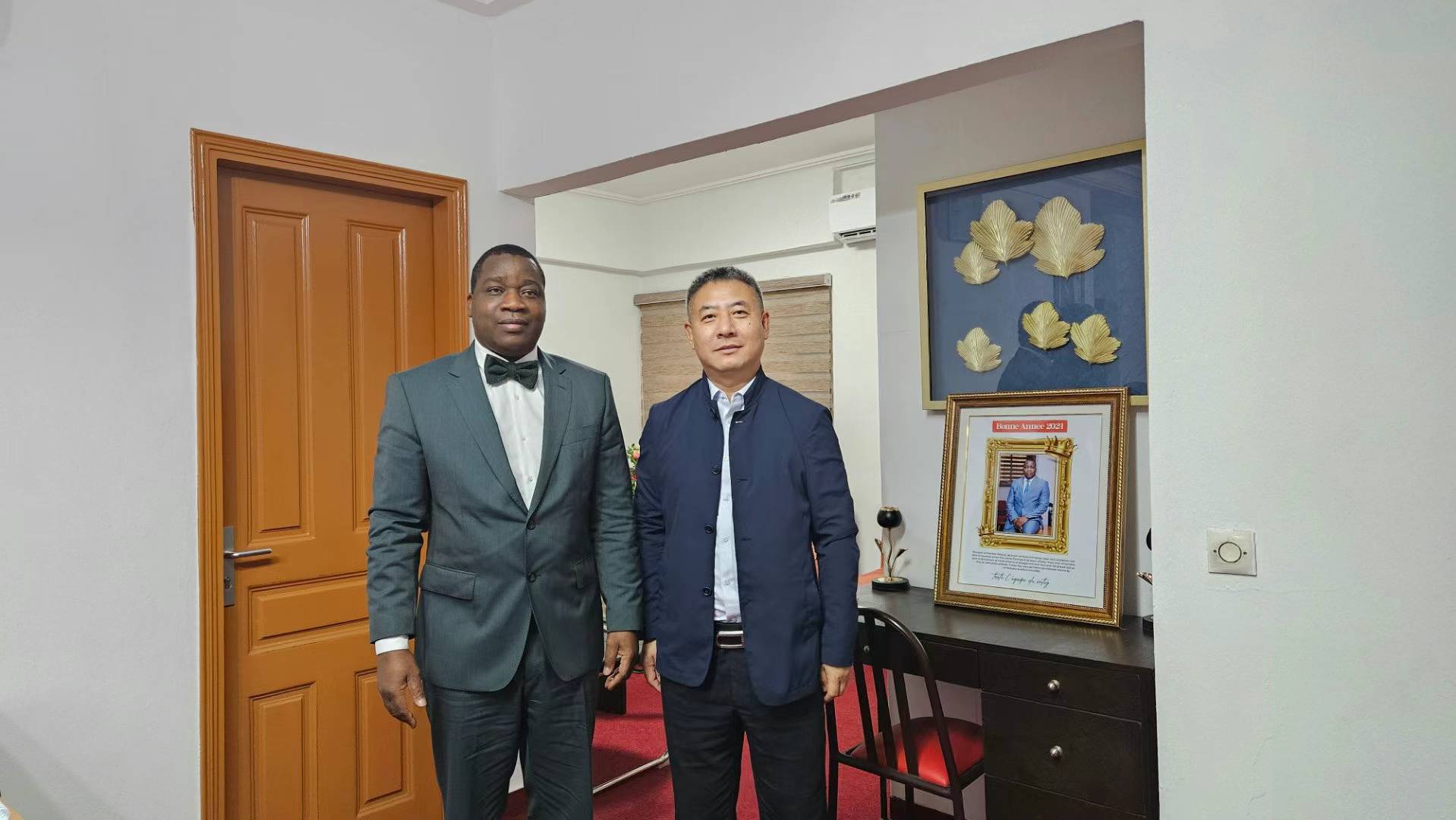
Mr. Wang Haitao with Dr. Édouard Fonh-Gbéi
During the event, SuperMap team delivered a special report titled "Geospatial Intelligence Empowering Digital Transformation of Urban Infrastructure," highlighting how GIS tools are transforming urban planning, transportation, land management, and public services. The presentation garnered enthusiastic feedback, with attendees praising SuperMap's solutions for their functionality, adaptability, and efficiency.
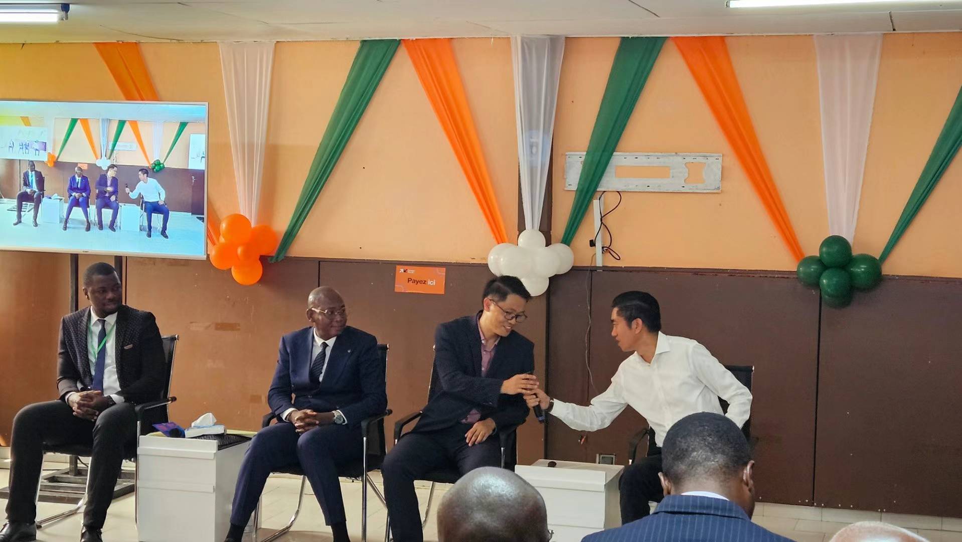
Booth Interaction: Showcasing Cutting-Edge Solutions
SuperMap's booth became a focal point of the conference, featuring innovative solutions in land management, smart cities, and natural resource monitoring. Key solutions included a 3D visualization platform, a comprehensive cadastral management system, and a spatial big data analysis tool.
The SuperMap team engaged in fruitful discussions with various Ivorian government ministries, including Labor, Interior, Education, and Transportation, as well as the Cadastral Administration. Government representatives expressed strong interests in SuperMap's adaptability and its potential to advance smart cities and transportation planning.
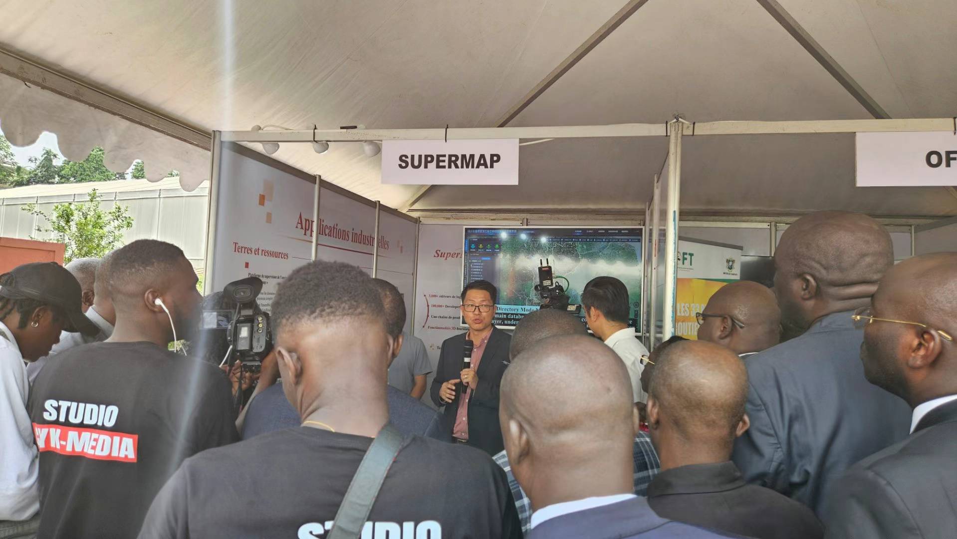
Media Spotlight on SuperMap
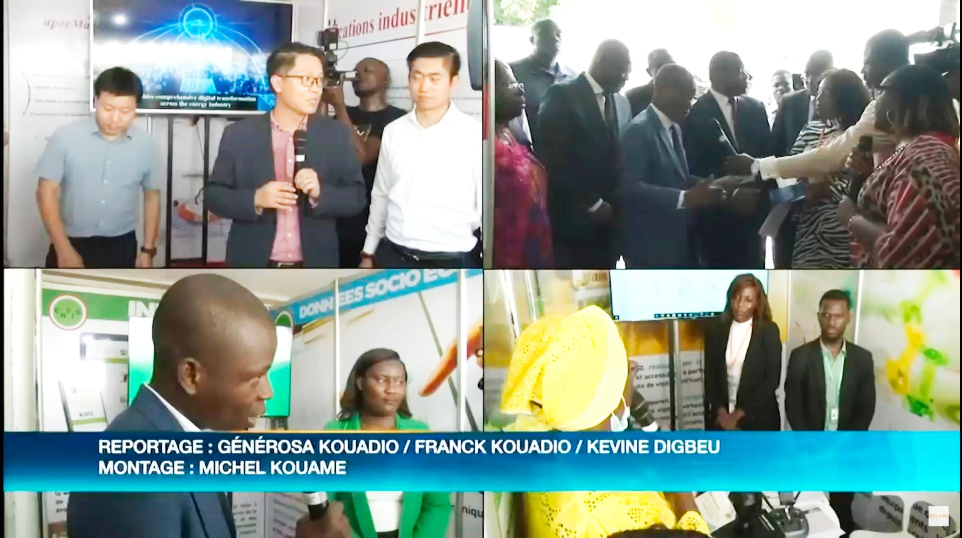
The conference attracted significant media attention, with RTI Television highlighting SuperMap's contributions. CNTIG's official platform also acknowledged the pivotal role of SuperMap and other partners in advancing geographic information technology in Côte d'Ivoire.
Building a Collaborative Future
As a regional partner and GIS platform provider for CNTIG, SuperMap is committed to fostering deeper collaboration with Côte d'Ivoire. This conference not only celebrated past achievements but also laid the groundwork for expanding partnerships in digital transformation and sustainable development.
Looking ahead, SuperMap will continue to prioritize technological innovation and global service, working with CNTIG and local governments to empower spatial decision-making and drive regional development. By sharing expertise and advancing GIS applications, SuperMap aims to support Africa’s digital transformation and create a brighter future through geographic intelligence.