On June 25, the 2024 Geospatial Intelligence Software Technology Conference (GISTC 2024) commenced at the China National Convention Center in Beijing, China. With the theme "Geospatial Intelligence Driving Quality Development," the two-day conference welcomed government leaders, academicians, experts, and business representatives worldwide. They exchanged ideas on breakthroughs in geospatial software technologies and explored future trends and applications. Diane Dumashie, President of the International Federation of Surveyors (FIG), delivered the opening remarks at the plenary session on June 25.

In her speech, Diane highlighted the unprecedented global challenges posed by climate change and emphasized the critical role of geospatial intelligence. She remarked, "We are 'just-in-time' to discuss the technologies and developments in geospatial intelligence."

During the plenary session, SuperMap, a leading GIS platform manufacturer, and Huawei held a signing ceremony to formalize their future cooperation. The partnership will focus on three areas: large geospatial AI models, geospatial agents, and the integration of Kunpeng + Ascend + SuperMap all-in-one machines. This collaboration aims to bring innovations to geospatial intelligence software technology and applications and accelerate the incubation and implementation of industry results.

SuperMap also officially released the latest version of its GIS products, SuperMap GIS 2024. The new product integrates several advanced functions in geospatial AI and introduces the Geospatial AI Technology Foundation (SuperMap AIF) to support platform software and application development. This foundation offers diverse models and features cross-platform and local deployment. It provides AI 3D data processing and analysis, AI remote sensing image processing, AI spatial analysis, AI image and video analysis, AI image generation, AI knowledge generation, and geospatial intelligent agents, enhancing SuperMap’s platform software products and industry applications.

One notable feature is the "AI automated 3D modeling" function. To create model data for a 35-square-kilometer city, more than 5,000 models are needed, which traditionally takes months to complete by hand. The AI-automated 3D modeling capability based on the SuperMap AIF can automatically generate 3D city scenes, shortening the entire process to hours. This function can be applied to natural resources, digital governance, urban planning, and other fields.
Another example is the "spatial planning AI drawing" function. The AI drawing system based on the SuperMap AIF includes various constraints to assist in drawing. Spatial planning workers can use "line draft constraints" to maintain the line draft structure, "outline constraints" to maintain the building outline, and "partial redrawing" to change the appearance of a building on the planning map. The system also includes "multiple preset drawing styles" to provide different perspectives, dimensions, and styles of planning drawings. Entering a sketch of the general planning plan can yield a color general planning plan, significantly improving work efficiency.
Song Guanfu, Director of the Geographic Information System Technology Centre at the Ministry of Natural Resources of China and Chairman of SuperMap, introduced the upgraded AI GIS technology. Based on the original BitDC system (Big Data GIS, AI GIS, 3D GIS, Distributed GIS, and Cross-Platform GIS), SuperMap has advanced the AI GIS to Geospatial AI technology, integrated remote sensing software, and upgraded other core technologies.

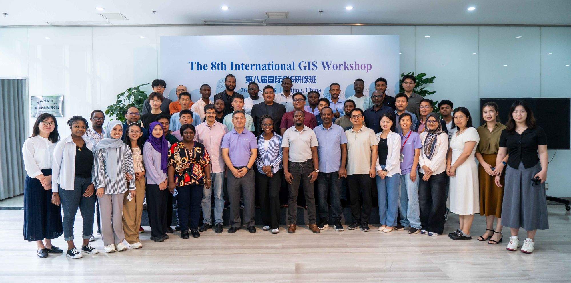
On June 26, the GIS International Forum continued the dynamic atmosphere of the plenary session. Approximately 120 global guests from 30 countries gathered to discuss the latest developments and application cases from their respective regions. Dr. Diane Dumashie delivered a keynote speech titled "FIG Vision Toward 2030: Partnership in Geospatial Working".

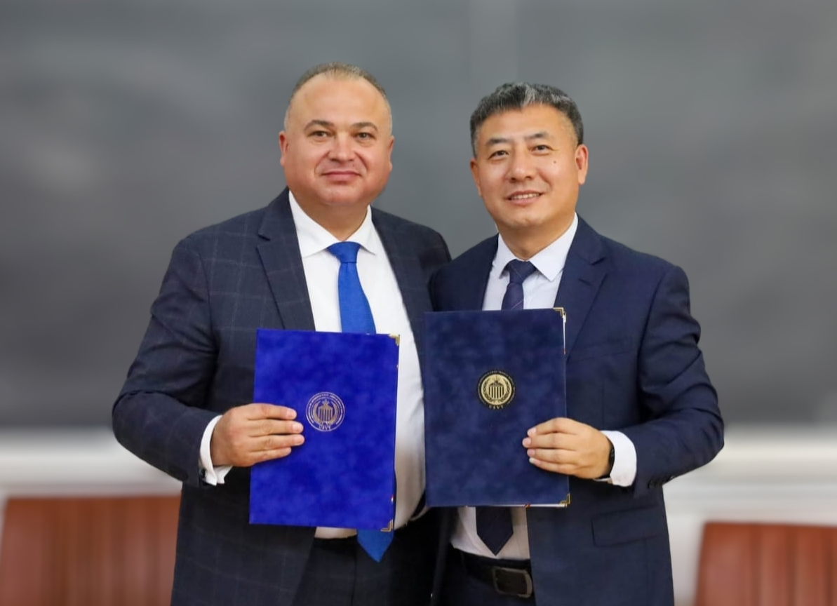
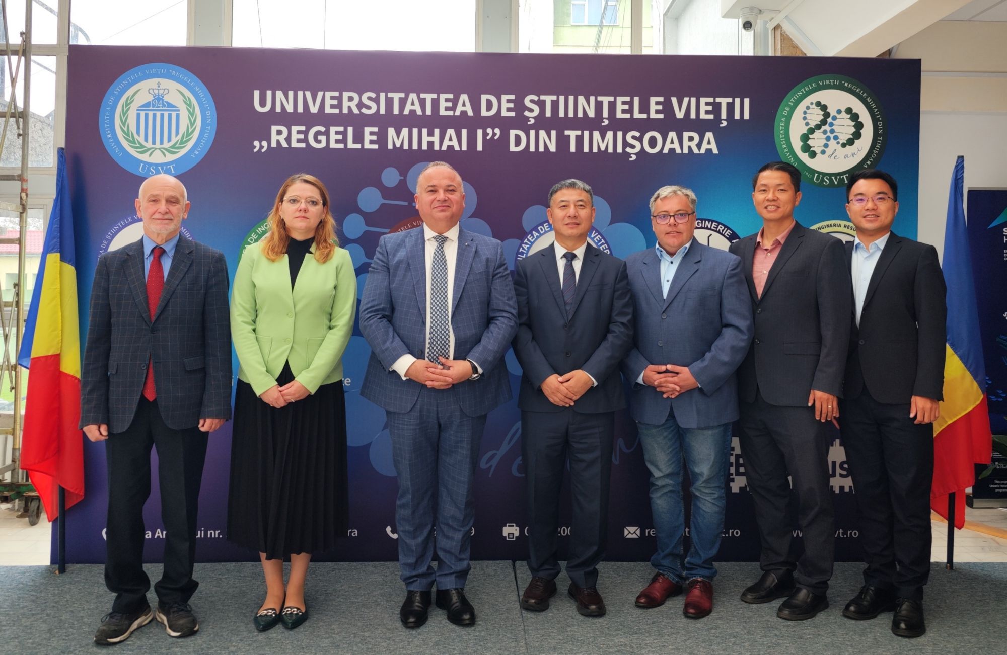
The forum also included an award ceremony to honor SuperMap’s partners for their dedication. Partners from Korea, the Philippines, Uzbekistan, Serbia, Thailand, Kenya, and Mexico were awarded the Best Innovative Partner 2024, the Most Promising Partner 2024, and the Best Education Partner 2024, respectively.


Throughout the two-day conference, various exhibitions showcased products and solutions from global enterprises in the geospatial industry and related fields.