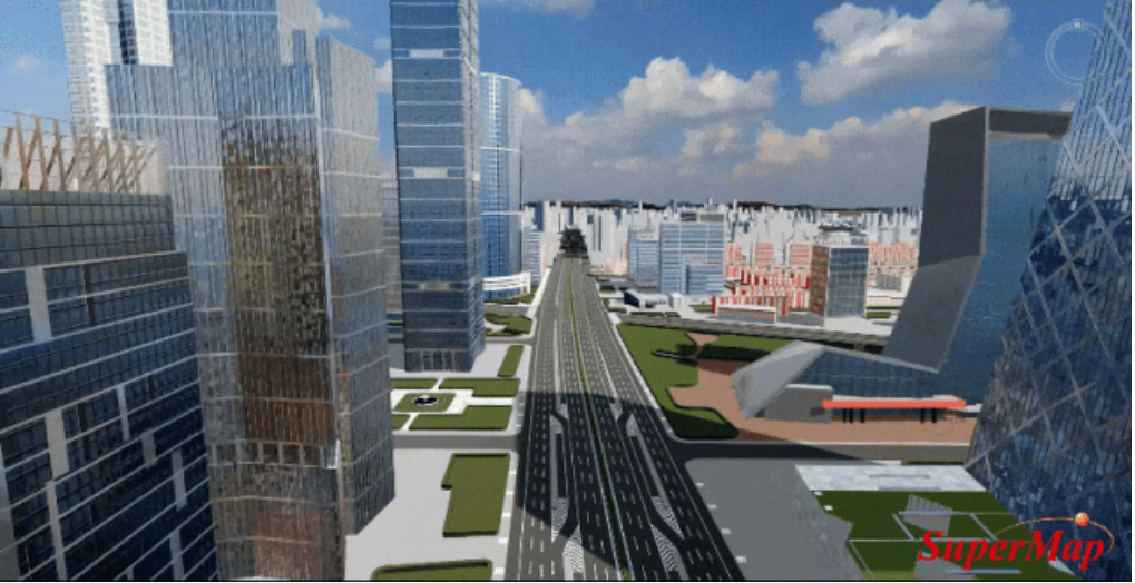
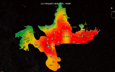
It is based on 2D & 3D integrated GIS technology, including 2D and 3D integrated data models and analysis calculations, multi-source 3D data storage management, multi-source 3D data sharing and interoperability, and multi terminals rendering interaction and output. It supports the storage, management, computation, analysis, visualization, and publishing of massive 3D data to achieve outdoor and indoor integration, macro and micro integration, and aerospace/surface/underground integration, and empower the application of full space new 3D GIS.