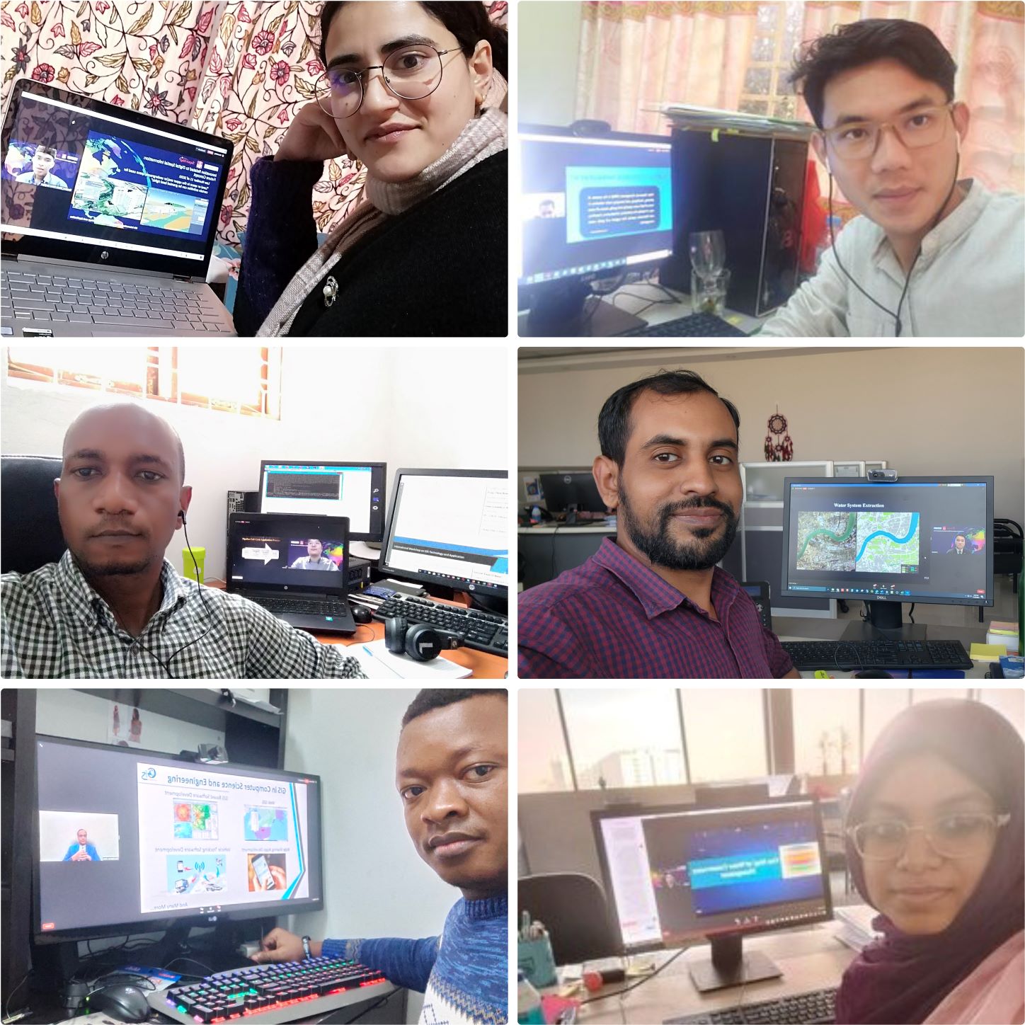
From November 28th to December 2nd, the 5th International Workshop on GIS Technology and Application was held online, open to government personnel, university professors, and corporate technical directors in the global geographic information field, attracting more than 600 people from 71 countries, including Germany, Thailand, India, Egypt, the United Kingdom, Botswana, South Africa, Mexico, Colombia, etc.
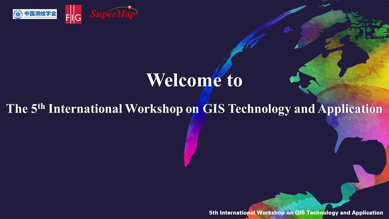
The 5th International Workshop on GIS Technology and Application is guided by Chinese Society for Geodesy Photogrammetry and Cartography (CSGPC), sponsored by International Federation of Surveyors (FIG), organized by SuperMap Software Co., Ltd. and hosted by the GIS International Training College of CSGPC and 917 Academy. Since it was held for the first time in 2018, the workshop has attracted many participants from all over the world to sign up to discuss the progress of GIS software technology and innovative GIS applications in industries such as natural resources, urban management, land management, natural disasters, and transportation. After 2020, due to epidemic, the workshop went online. The enthusiasm of the participants remained undiminished, and the number of applicants hit new highs year by year.


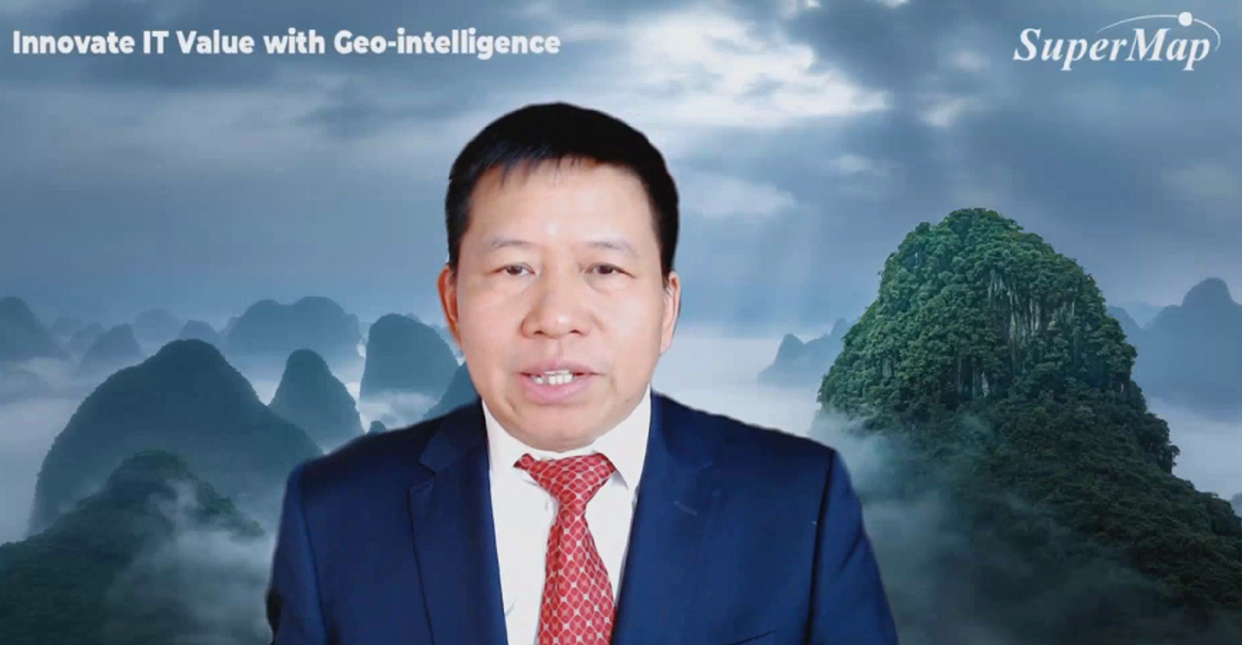
Prof. Dr. Rudolf Staiger, President of the International Federation of Surveyors (FIG), Peng Zhenzhong, Vice President and Secretary-General of the Chinese Society for Geodesy Photogrammetry and Cartography, and Song Guanfu, Chairman and CEO of SuperMap delivered an opening speech, extending a warm welcome to participants and wishing the trainees a fruitful experience from the five-day report and practice, and encouraging the participants to apply what they have learned to promote the extensive application of GIS technology in global digitalization.
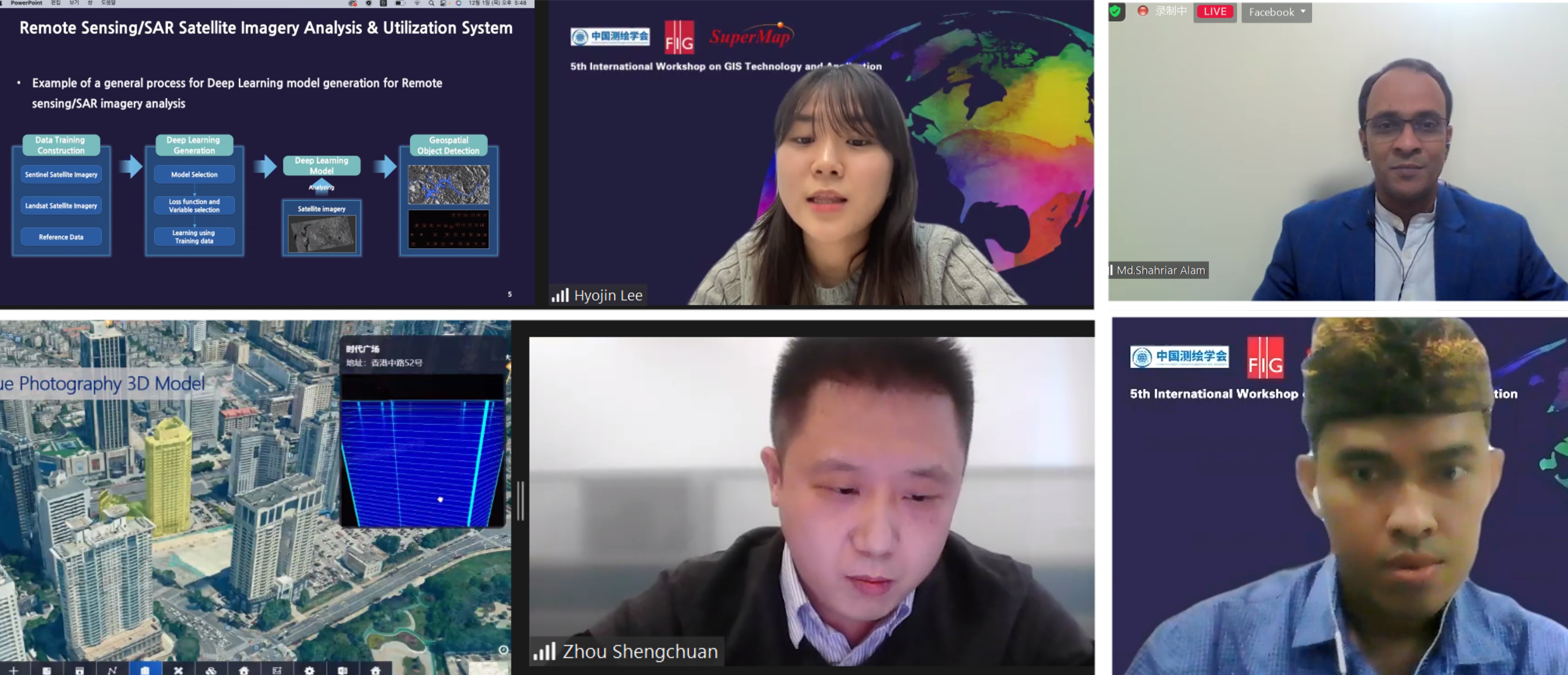
The workshop is composed of expert reports and software practical training. The reports mainly focused on cutting-edge GIS technologies such as 3D GIS, BIM+GIS, and AR GIS, as well as GIS industry applications such as smart cities, water resource management, and land management. This workshop also provided GIS operation and practical guidance for all attendees to demonstrate the functions of GIS software products and set up an online test.
To review the 5th International Workshop on GIS Technology and Application in PDFs, please find below:
Day 1
Evolution of New Generation 3D GIS Technology
Solution of Urban Underground Space Resource Management
SuperMap 3D GIS Empowers Smart Water Conservancy
Day 2
New Generation 3D GIS Data and Platform for Novel Smart City Applications
AR Application and Collaborative Data Collection of iTablet Products
AR GIS Technology Explores the Application of Smart Parks
One Map Integration (Land Tenure, Land Value, Land Use, Land Development): Bali Province Case Study
Applying SuperMap GeoAI tools for Mobile Cell Tower Detection: A Malaysia Case Study
Day 3
Statistical Analysis on Urban Land Use
Guidance on 3D GIS Visualization
To review the 5th International Workshop on GIS Technology and Application in Videos, please find below:
Day 1
Evolution of New Generation 3D GIS Technology
Solution of Urban Underground Space Resource Management
SuperMap 3D GIS Empowers Smart Water Conservancy
Day 2
New Generation 3D GIS Data and Platform for Novel Smart City Applications
AR Application and Collaborative Data Collection of iTablet Products
AR GIS Technology Explores the Application of Smart Parks
One Map Integration (Land Tenure, Land Value, Land Use, Land Development): Bali Province Case Study
Applying SuperMap GeoAI tools for Mobile Cell Tower Detection: A Malaysia Case Study
Day 3
Statistical Analysis on Urban Land Use
Guidance on 3D GIS Visualization


