With the continuous progress of large-scale 3D spatial data collecting technologies, 3D spatial data is also enriched, such as 3DTile on the Cesium platform, OSGB on the OpenScene Graph platform, and 3MX on the Bentley platform. While, the majority of users should have a deep understanding of the inconvenience conversion between different formats and different version on different platforms. Therefore, how to meet the efficient 3D spatial data release, sharing and interoperation in the industry has always been an issue for the entire geographic information industry.
By facing the above problems, a unified and open 3D data format is greatly needed in industry. The open and extensible 3D geospatial data format-Spatial 3D Model (S3M) can provide specifications for the data format for the transmission, exchange, and sharing of spatial 3D model data between different terminals.

Separation of data and structure, faster scheduling
The S3M format uses a data structure which separates the data file from the index file, including: the data file (.s3mb), describes the 3D tile data in a spatial concept; the index file (.json) is a tree structure of the tile data description (the description information is also stored synchronously in the .s3mb file); the description file (.scp), describes the basic information of all the tile data of the entire scene. This data structure can obtain the bounding box of each tile file of each layer, the switching information of the LOD, the attached sub-node files, etc. without loading the actual data, thereby accelerating the efficiency of tile file retrieval, enabling load rendering smoother. While the OSGB format organizes data information and structure information in one file and only when structure information is needed, the entire file will be loaded, which reduces the loading efficiency. Through the testing, the data organization form separated by data information and structure information can improve the loading and rendering efficiency by 2 to 3 times.

Multi-source massive data support
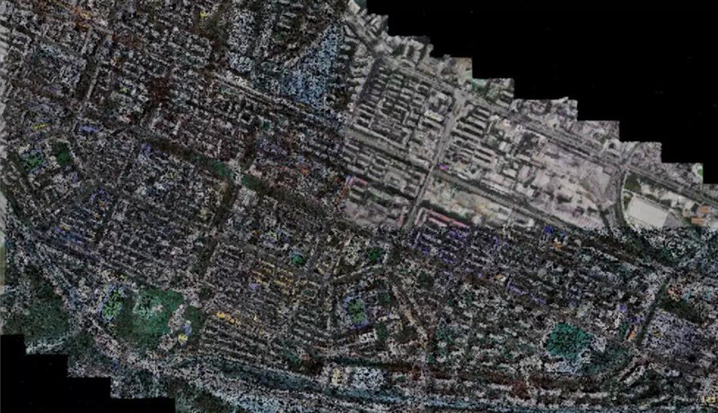
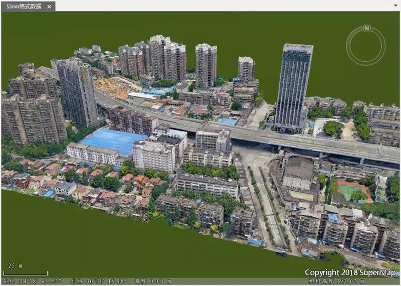
Spatial 3D Model (S3M) supports the expression of multi-source geospatial data, such as oblique photogrammetry models, BIM, artificial modeling, point clouds, etc. At the same time, it supports the capability of efficiently massive data drawing, LOD, batch drawing, etc., and improves rendering performance. There are tens of thousands tile units that often appear in urban-level massive data scenes, and it is difficult for mode to realize fast scene displaying in the form of tiles loading. The above problem is usually solved by merging the "root node" to reduce the loading title number at the same time, but the overall triangular mesh and texture data cannot be changed. Also, the scene expression in the form of a mesh is not ideal, and it will greatly reduce the browsing experience, for the reason that the root node data in the mesh model has low resolution and changing a lot in the distortion. Therefore, there are methods to directly use the root node to merge the color point cloud results instead of using the grid nodes. Through testing, the Spatial 3D Model (S3M) can improve the loading rendering efficiency by more than 5 times, and the browsing experience can be achieved in real-time when compared with the mesh data that merges the root and the node.
New 3D GIS Technology in Underground Water Management>
2D and 3D GIS in Natural Resources Management>
New 3D GIS Technology Supports the Construction of "Digital Twins" in Transportation>