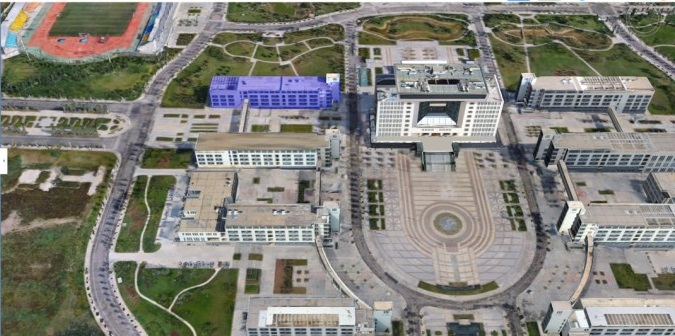
In recent years, China's higher education has made great progress, and education informationization has also been put on the agenda. Thus, the concept of "smart campus" came into being. The so-called "smart campus" refers to a smart, digital campus, which is a concrete manifestation of the microscopic form of the "digital earth". The smart campus focuses on the wisdom of teaching, researching, management and other aspects of the school. By using the digital information of graphic images to express the various spatial and attribute elements of the campus, it provides campus elements for teachers, students, administrators and visitors. Since the smart campus is built based on GIS technology, it also has the functions and properties of GIS, such as information query, retrieval, spatial analysis, simulation analysis, and output thematic maps, which can provide a reliable scientific basis for management, planning decision-making, and development prediction of campus.
The system infiltrates and integrates 3D simulation technology, virtual reality technology, digital technology, information technology and network technology in campus management and construction based on SuperMap9D technology. Through the system, the school management department can manage and control all corners of the campus, improve the informatization management of campus, strengthen the management of campus assets and campus security protection.
The system achieves the functions of real estate management, energy management, campus security management, campus map service and campus APP (mobile), which greatly enhances the informatization of the campus.
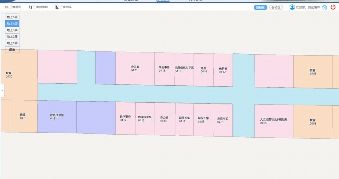
Real estate resource management: through the docking of the existing real estate management system, the combination of existing real estate data and location information, and using GIS technology to achieve the map display and query, statistics, analysis, so that campus property resources can be fully, reasonably and efficiently utilized and well maintained.
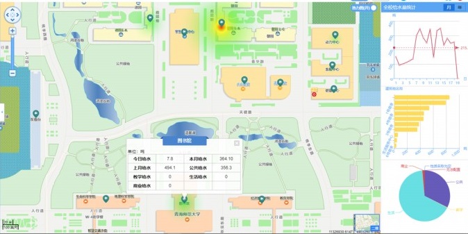
Campus energy consumption visual management: through the docking of the existing energy management system, correlating with the existing energy consumption data, the energy consumption measurement, management and statistics functions of building energy can be realised. It provides real-time data, data query, analysis at any time of day, month, year; energy structure, energy consumption trend, index comparison display; pie chart, histogram, graph display to realize the energy-saving analysis and management of building and the management of heating data, statistics and other various facilities.
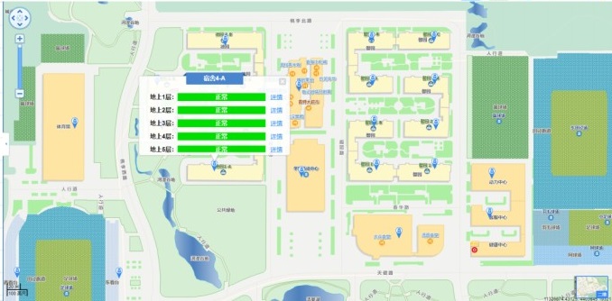
Campus security visual management: the existing fire remote management system and video surveillance system can be docked through the development. The network video provided by the video surveillance system calls the activeX plug-in SDK development kit to realize the retrieval of the video data of the map-based surveillance camera, and realize the integration of the front-end equipment into the system.
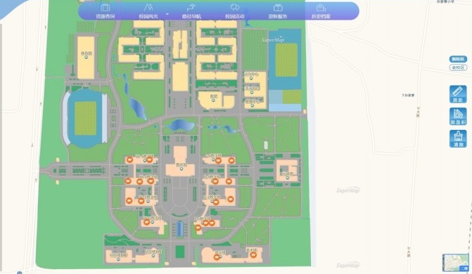
Campus map service (Web) subsystem: it implements campus map display, campus live view, campus resource query, route navigation function, class schedule query, welcome service, campus activity and other functions.
Campus APP (mobile): the mobile app was developed to facilitate the information inquiry service and management needs of teachers, students and administrators, integrate campus map service, campus security visual management, campus energy management, and real estate resource management.
New 3D GIS Technology in Underground Water Management>
2D and 3D GIS in Natural Resources Management>
New 3D GIS Technology Supports the Construction of "Digital Twins" in Transportation>


