SuperMap provides solution for urban design results and information modeling design management according to the overall level, key location and land. It combines various statutory planning information with underground space information to form a panoramic one-map which contains the above-ground, ground, underground, historical and planned elements, provides various types of 3D topics based on urban planning knowledge visualization, and integrates other plans for urban design and urban construction.
The 3D panoramic display application for knowledge management
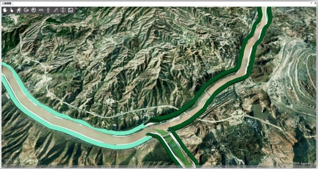
The terrain refinement can unify above-ground, ground, underground data accuracy, support muti-catgory data fusion, artificial fine model, real-sence 3D model, planning results and terrain and other data types unified management, and help the display of multi-temporal panorama map, the history, status quo, planning, urban design and construction plan.
The urban design + planning information fusion
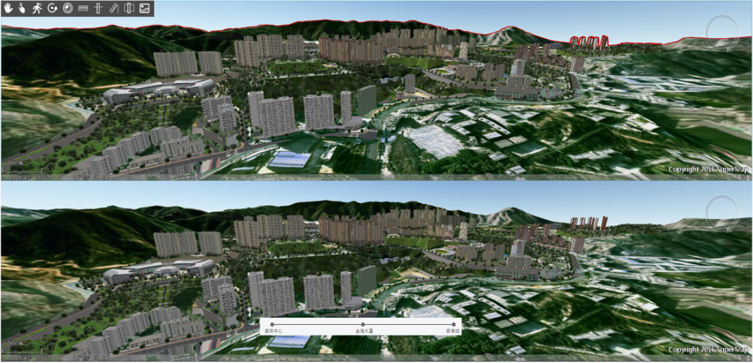
On the basis of the existing 3D city, the solution supports the displaying of various urban design information and statutory planning results at the overall and key locations, and forms a city design + one-map. In the whole process of construction project’s establishment and double repair, the comparison between planning and reality can be realized, it supports the view of city advertising board, and dynamically displays the city view before and after the repair, which provides more intuitive planning effect for urban repair and ecological restoration.
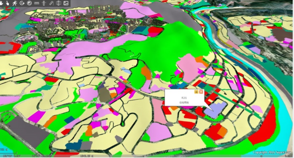
Planning the 3D visualization of knowledge
Based on the experience of urban construction in the metropolitan area, a knowledge base of urban design classification informationization and rule visualization research can be formed. It includes 4 levels, 15 categories, 74 urban design elements, 76 urban design themes, and 113 visual dataset, 8 3D visual expression types. It can be graphically modeled by urban design guides to form geometric figures and to display logo in 3D virtual space.
Business and control management
The system supports the multi-dimensional display of the project performance map, which can fully reflect the design concept of the project, and support the real-time rendering of the 3D scene of the construction. The system provides a series of auxiliary tools, which can fully express the vertical outline of the urban design, the skyline lookout point and other information.
New 3D GIS Technology in Underground Water Management>
2D and 3D GIS in Natural Resources Management>
New 3D GIS Technology Supports the Construction of "Digital Twins" in Transportation>


