1. The function introduction
The collision detection: It is used to detect the collision between the roaming camera and the model. When the distance between the camera and the model is equal to the detection distance, the camera cannot zoom in to the model. While viewing the 3D scene, the viewing angle cannot penetrate inside the model when meeting the model.
2. The steps
(1) To open the collision detection mode
Turning on the collision detection to active this function.
(2) To set the detection distance
It is the distance between the angle of view and the model. The larger the parameter is, the more possibility of the collision between the viewing angle and the model will be at a greater distance, so that they cannot get close to each other.
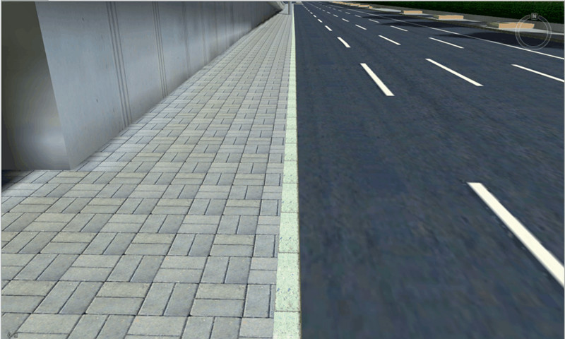
(3) The walking mode
The walking mode function can also be applied in the first-person perspective roaming scene to simulate the walking and running action of people in the real scene. In the walking mode option, there are keyboard driver, automatic walking, and automatic running modes, which can be used to simulate the effect of roaming streets realistically.
The keyboard driver
Using the keyboard to control the changes of the perspective, it is the same as the manipulating tasks in computer games. The front, back, left, and right walks of users are controlled by the W, S, A, and D direction keys respectively, and the mouse is used to control the pitch angle of the user by sliding up and down and to control the rotation direction of the task by sliding left and right.
The automatic walking
After clicking the automatic walking mode, the viewing angle will automatically follow the current direction of the camera without any manual control. It can control the viewing angle by sliding the mouse, and control the walking speed by the mouse wheel.
The automatic running
The automatic running mode is the same as the automatic walking mode, except that the running mode is faster than the walking mode.
New 3D GIS Technology in Underground Water Management>
2D and 3D GIS in Natural Resources Management>
New 3D GIS Technology Supports the Construction of "Digital Twins" in Transportation>


