SuperMap GIS, Beijing Bolue company, and Tsinghua Tongheng Planning and Design Institute have built a strategic partnership. Concerted efforts have been made in GIS solutions for underground pipelines informatization on the campus, and GIS education with the characteristic of integrating teaching and practice for students majoring in tourism, urban planning, architecture, civil engineering, etc.
A 3D underground pipeline system is established after on-site investigation and data collation. The system manages data utilizing sensing technology and implements the visual management and dynamic monitoring of underground pipelines on the campus.
The 3D Underground Pipeline System, in conjunction with the APP system, can provide accurate and detailed data, and location information at the construction site to avoid construction accidents and repeated construction, thus saving resources and time, and greatly facilitating supervisors' work.
The system is attached with functions of digital campus exhibition and decision aids, which give play to school publicity, new students welcome, available classroom (exam room) inquiry, real estate management, greening&cleaning, fire drill, school field planning&construction, etc.
Browsing: The system supports hot spot navigation, above-ground (underground) browsing, road excavation browsing, 2D-3D integrated browsing, etc.( in layers)
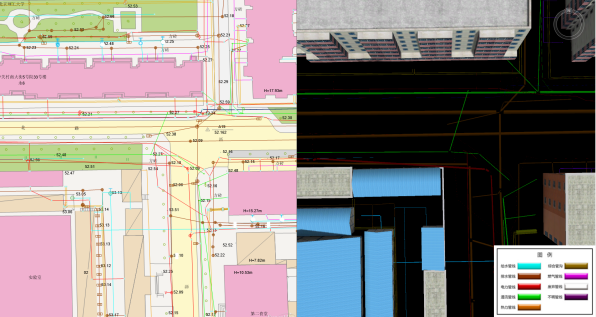
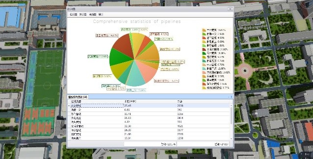
Query&statistics: The system can query and locate the attributes of the pipeline, such as category, diameter, material, date of embedding, characteristics, and facilities, and make statistics and export according to these attributes.
Platform connection: The system has an open interface, and can be connected with the existing energy platform or other relevant platforms.
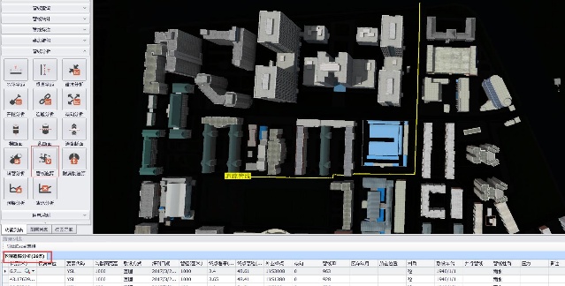
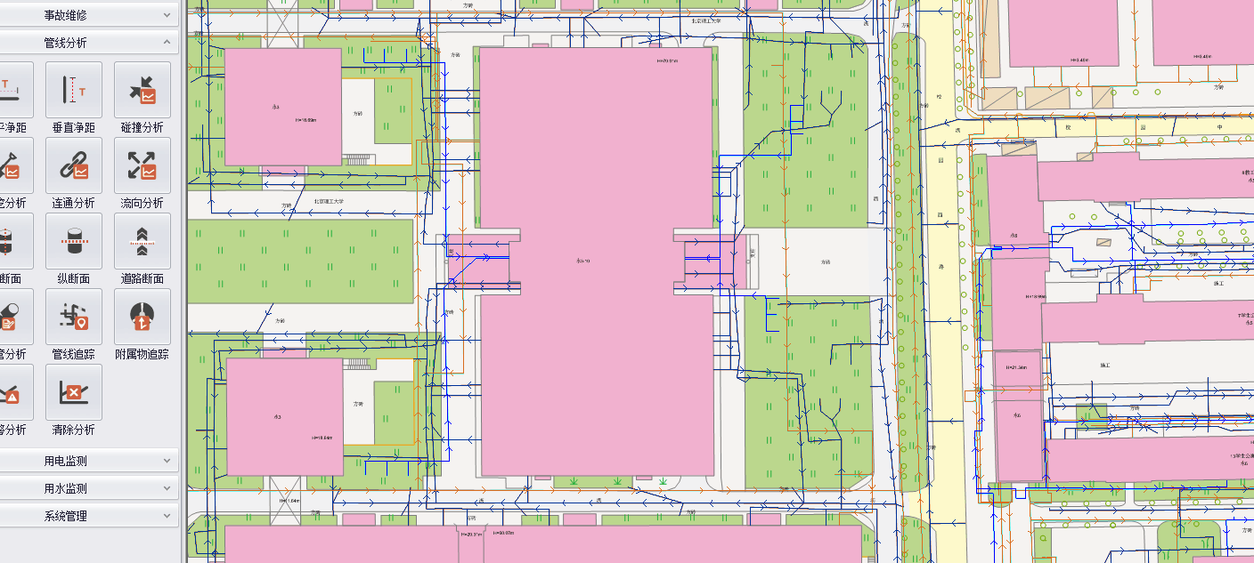
Analysis: The system supports section analysis, soil analysis, pipeline burst analysis, flow analysis, collision analysis, net distance analysis, tracking analysis, etc., which can facilitate construction and maintenance of the campus.
Pipeline tracking analysis:
Pipeline flow analysis:
The analysis of building electricity consumption: Data analysis of various dimensions is carried out based on smart electricity meter data, and big data analysis of the platform is conducted for visualization management.
Side leak check: According to the intelligent monitoring of the water supply network and the analysis of the data returned by the Internet of things equipment each day, the location of water leaks can be predicted.
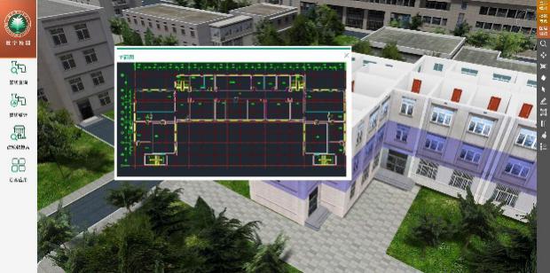
Drawing management and updates: The system contains 2D CAD drawings which can be exported, and 3D pipelines can be directly altered in the system, which is easy to operate and update.

Repairs: The system can analyze the scope of pipeline accidents and record damages and repairs.
Measurement&labeling: The system can calculate the length, area, and elevation of 3D data; it can mark pipe diameter, buried depth, and elevation of pipelines.
Publicity: The real 3D scenes on the ground in the system can be linked to the school website.
Building real estate management: Combined with the 3D model, the real estate is integrated with complex attribute data, CAD drawings to implement queries, statistics, uncover the display of real estate resources.
Auxiliary planning: The system supports school building planning and design through buildings management, sunshine analysis, shadow analysis, dynamic visual range analysis, etc.
Welcome work for new students: Freshmen can register by themselves after installing the welcome APP, which serves dormitory search, one-card handling, etc.
Greening management: Collect the information of all trees and meadows in the school, and make inquiries and statistics through the system to combine information and graphics.
Indoor pipeline network analysis system: BIM modeling for building supports the integrated management of above-ground and underground pipelines and the integrated management of indoor and outdoor pipelines. It can also carry out the functions of viewing, checking, statistics, and analysis of indoor scenes.