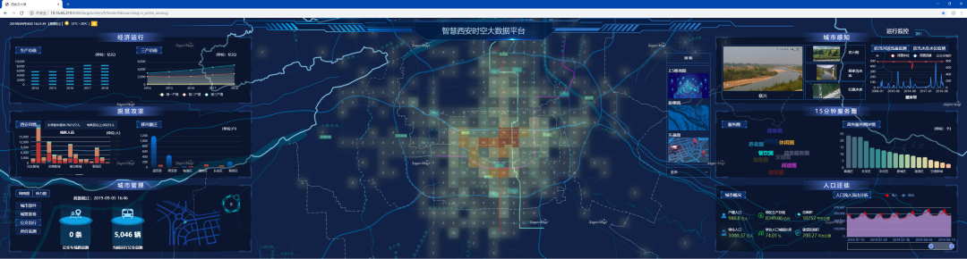
The 3D Digital Base acts as the support platform in 3D application to the space governance of cities, communities/parks, stations and buildings.
The connotation of 3D Digital Base can be summarized in three key words.
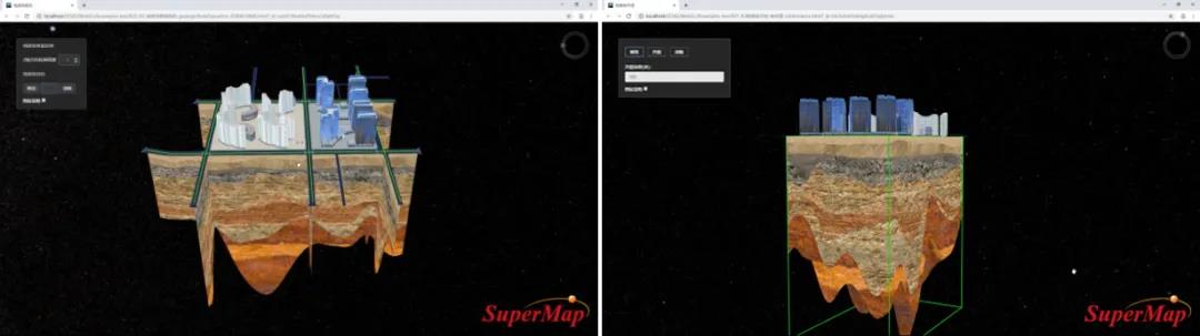
3D: The space depicted by 3D Digital Base is certainly tridimensional. It includes the 3D earth’s surface natural resources, 3D above-ground buildings and infrastructure, 3D natural resources and urban whole space like 3D geologic body and underground space. The 3D analysis, design and visualization will break through the limitations of 2D spatial analysis.
Digit: 3D Digital Base utilizes the digital twin to depict and deduce the physical space and humanity space. 3D Digital Base information is both electronic and digital, which differentiates it from the conventional 3D model. Being digital means the information can be analyzed and calculated, which requires data to be substantialized, single, semantical and structured, and the dataset can express spatial relations and attribute information in a scale-free way with total elements. Being digital helps to evaluate the amount and quality of natural resources assets and elaborate the inquiry and governance of urban construction and infrastructure.
Base: 3D Digital Base is a basic platform system rather than a specific business application system. It provides basic data and functional services. The professional data and functions in specific fields can be expanded on this basis. The data and functional services provided by 3D Digital Base can be reused in most application scenes, which would avoid the repeated development and construction. 3D Digital Base, as the middle platform, can support the full-period application construction of natural resources and urban space.
In this paper, a new generation of 3D GIS technology system developed by SuperMap is taken as an example to illustrate how 3D GIS technology contributes to the construction of 3D Digital Base.
Supporting the Whole-space and Total-factor Data Representation
The new generation of 3D GIS technology system, based on conventional spatial data pattern, expands the definition of three-dimensional body data pattern and three-dimensional field data pattern (TIM and voxel raster) and improves the spatial data pattern system of GIS platform. It provides the basis for the whole-space and total-factor representation featuring the integration of macroscopic and microcosmic scale, ground and underground, land and water area, interior and exterior.
3D Volume Data Model in Opening Degree Analysis
3D Volume Data Model in Shadow Analysis Result Representation
Supporting the Unified Management of Massive and Multisource Heterogeneous Data
In the applications of natural resources and urban space, the amount of 3D geospatial data is usually very large, which is a big challenge for 3D Digital Base. The multisource 3D data integration technology of the new generation of 3D GIS system enables the unified management of massive and multisource heterogeneous data including DEM/DOM, oblique photography pattern, laser-point cloud and BIM, which will increase the value of data. Based on the ability of coordinate transformation and coordinate registration, this system can support the transformation of multisource data between the plane-coordinate system and the geographic coordinate system, and unify the BIM model, oblique photography model, terrain and other multisource data into one coordinate system, so as to realize the alignment of various information. The operation and processing functions of 3D space data inset, flattening, cutting, holing and gentle slope contributes to the data smooth connection.
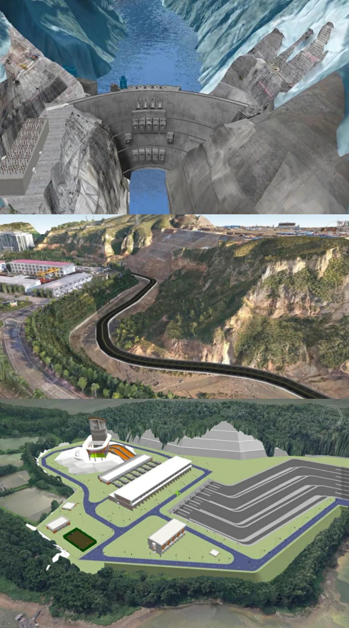
The Integration of Multisource Data of Oblique Photography Model, BIM, Terrain and Image
GPU-based Geologic Body Profile Analysis and Clipping Analysis
Empowering the Geospatial Data Governance
With the increasing maturity of natural resources and urban space applications, the practicability of 3D Digital Base is facing higher requirements, and 3D spatial analysis is currently the basic capability. The new generation of 3D GIS technology system is equipped with the 3D spatial analysis and representation abilities based on GPU to satisfy the demand of real-time 3D scene analysis and rendering. It extracts and transmits 3D spatial information, and analyzes the hidden information, relations and trends of 3D space data.
Improving the Management of Massive 3D Data Comprehensively
The accumulation of large-scale 3D data poses a challenge to traditional spatial analysis and processing methods. The combination of distributed technology and the new generation of 3D GIS software technology system supports the whole-process management of 3D data such as large-scale oblique photography modeling data, laser point cloud data, terrain/image data and 3D field data from data access, data processing, service release to multi-end application. It provides the full-process management of real 3D data based on distributed technology, such as distributed processing of oblique photography model, and provides complete processing operators to support the full-process management of large-scale oblique photography model data from distributed processing, distributed storage to service release.
Facilitating the Opening, Sharing and Interoperability of 3D Geospatial Data
SuperMap has made joint efforts with upstream and downstream partners to formulate the standard of open T/CAGIS 1——2019 SPATIAL 3D Model Data Format (S3M) and T/CAGIS 2——2020 Spatial 3D Model Data Service Interface to improve the system of 3D GIS Format. It provides solutions to the storage, efficient rendering, sharing and interoperability of multi-source 3D geospatial data in different geographic information platforms (mobile devices, browsers, desktop computers).
Providing Friendly and Convenient 3D Experience
The combination of VR/AR/MR technology and 3D GIS technology can bring immersive 3D interaction, improve human-computer interaction, render applications in human-computer interaction better in visual sense and experience, and assist in underground pipeline inspection, construction, etc.

Visualization and Sectioning of BIM Model Based on AR Technology
The combination of HTML5, WebGL and 3D GIS technology supports the construction of the application of B/S framework, and provides 3D “zero client” product within reach.
Based on the integration of 3D GIS and game engine, this system can improve the user’s visual experience and bring better interactive experience. The plugins of outdoor geographic environments with real geographic coordinates, indoor BIM model, real-time IoT data in the game engine contribute to constructing a digital twin parallel world featuring the integration of interior and exterior, macroscopic and microcosmic scale, ground and underground, land and water area. Based on the 3D data and game effects with real geographic coordinates, this system can construct various emulation scenes and provides technical support for diversified stimulation exercises.