AI has penetrated into various industries. In 2024, SuperMap further upgrated its GIS technology system and incorporated GeoAI into the system, which gave birth to what we call the now BRT-IDC system. The system includes Big Data GIS, New Remote Sensing software, New 3D GIS, Geospatial AI, Distributed GIS and Cross Platform GIS.
In this series introduction, we'll introduce SuperMap Geospatial AI capabilities, products and application scenarios. Want to know what SuperMap GeoAI can do and how can you use it? Let's start our journey!
AI 3D Data Processing and Analysis
1.AI-powered Generation of Individualized Models from Oblique Photogrammetry 3D Models
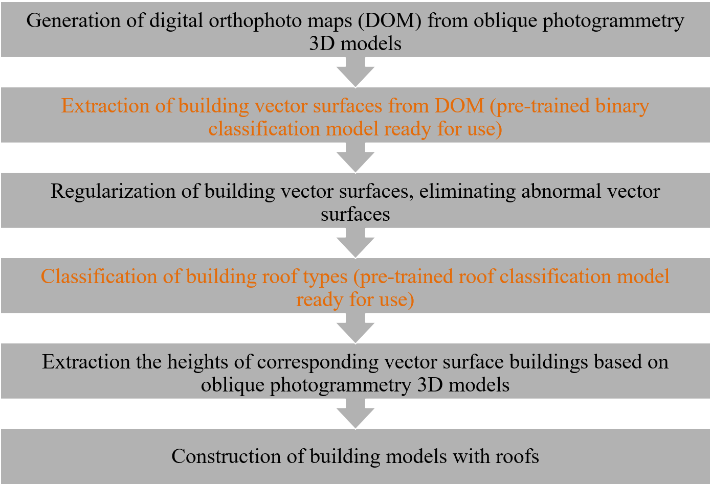
2.Workflow for Generating Individualized Building Models
AI Extraction of Building Vector Surfaces
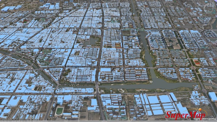
Regularization of Vector Surfaces

Extraction of Building Heights
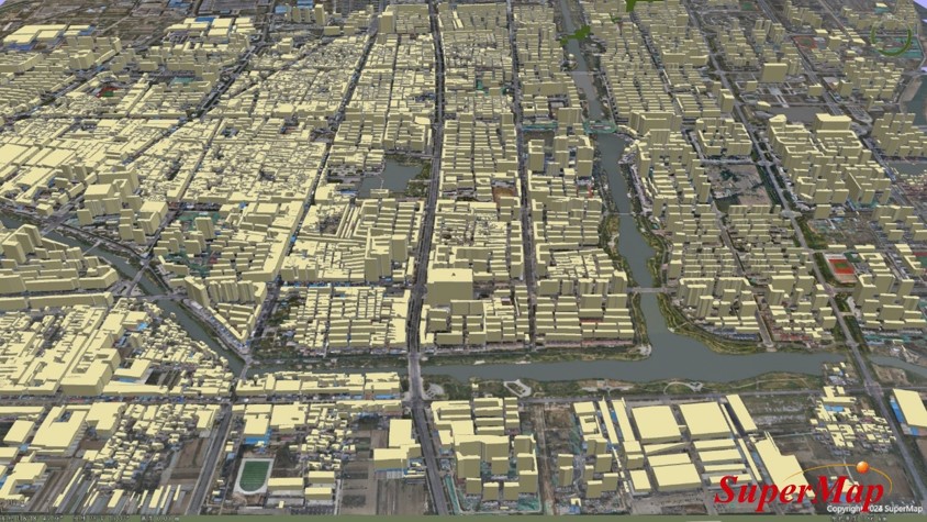
AI Recognition of Roof Types

3.Boundary Extraction Effects
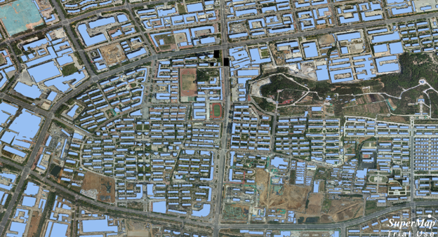
SuperMap GIS11i (2024)
4.Optimization of Model Results Based on AI
Intelligent Recognition of House Types:
Automatic Recognition of Roof Types Through AI Image Recognition Technology
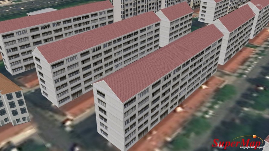
Intelligent Construction of Complex Building Entities:
Automatic Construction of Building Entity Models Based on Recognition Results
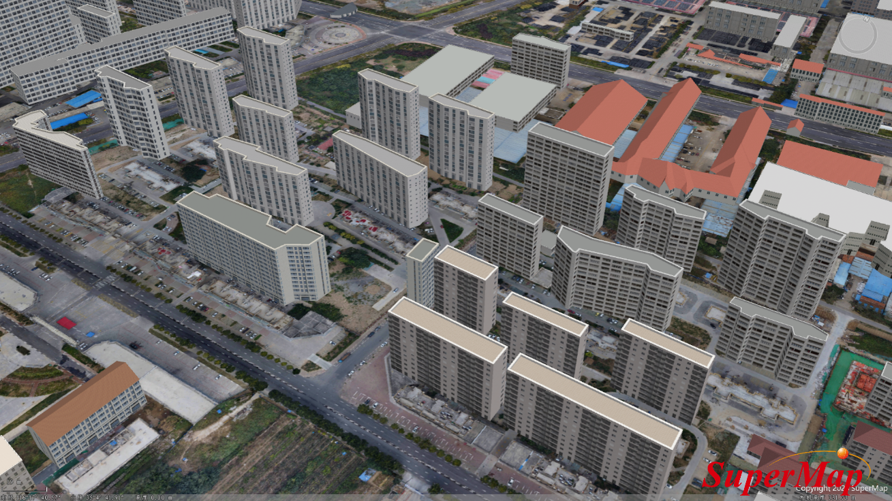
5.AI Oblique Photogrammetry Building Information Extraction
6.AI-based Semantic Segmentation of Power Point Clouds and Instance Segmentation of Power Lines