In this article, we intend to introduce some high-quality websites for data downloading. They involve essential data like the vector, DEM, satellite image, and the data of industrial applications such as meteorology, agriculture, and transportation.
1. Natural Earth
Natural Earth (https://www.naturalearthdata.com/), supported by the North American Cartographic Information Society (NACIS), is a map dataset acquisition website targeted at global public domains. It provides worldwide essential vectors and raster data at the scale of 1:10m,1:50m and 1:110m. In the 1:10m data, we can find administrative division data accurate to the province-level of different countries in the world.
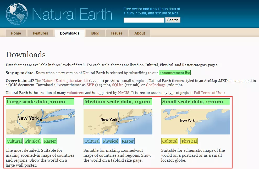
Users are allowed to spread and modify data. However, the drawback is its lack of timeliness. There are perhaps some mistakes, which request for a check before use.
2. GADM
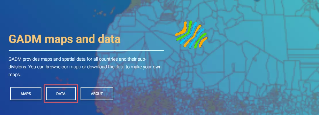
GADM (https://gadm.org/) is a high-precision global administrative division database, encompassing multi-level administrative division boundary data of all countries and regions in the world. There are two alternatives for users: data of the country (https://gadm.org/download_country_v3.html) or the globe (https://gadm.org/download_world.html).
3. USGS Earth Explorer
USGS Earth Explorer (https://earthexplorer.usgs.gov/) is the data services portal website of the United States Geological Survey (USGS). It provides the latest and most comprehensive global satellite images (including Landsat and Modis satellite images, etc.), elevation model data (including ASTER GDEM and SRTM), and other geological resources research data.
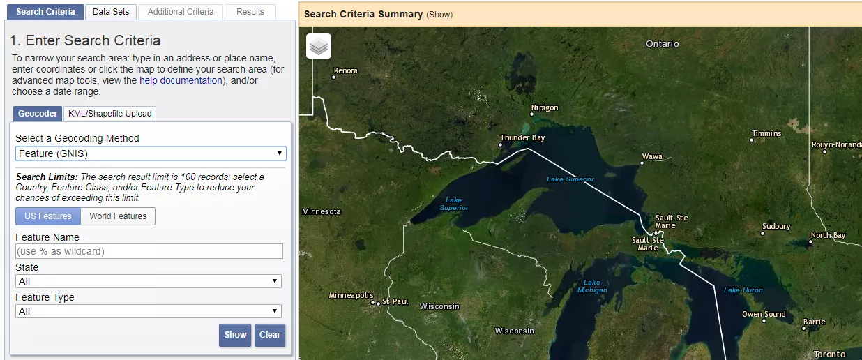
Users need to register and log in before download. It performs well in data quality and timeliness. The disadvantage is that due to the detailed classification, the same data have many versions, so they require distinguishment.
4. NOAA
NOAA (https://coast.noaa.gov/digitalcoast/data/home.html) is the website of the U.S. National Oceanic and Atmospheric Administration, providing a wealth of radar, image, climate, and surface coverage data.
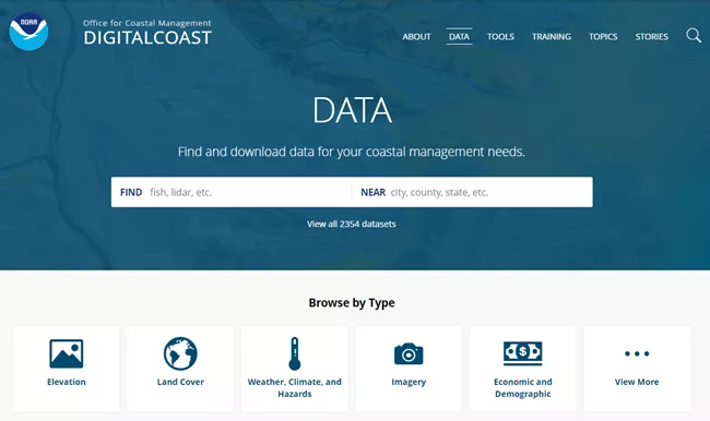
With the high quality and strong timeliness of data, this website is a good choice when we download climate, ocean, and energy data.
5. OpenStreetMap
OpenStreetMap is an online mapping collaboration project that can capture global vector data of varying levels and precision, including layers of place names, road networks, waters, buildings, land use, POI points, etc.
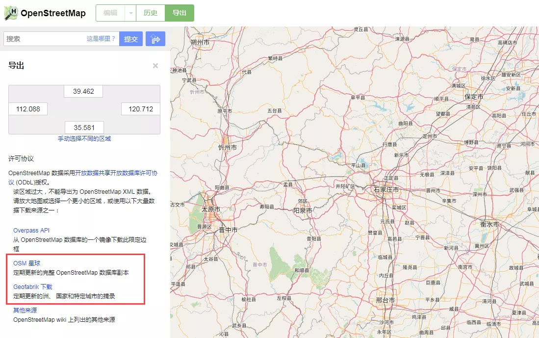
Both global data and regional data are available.
6. Open Topography
Open Topography (https://opentopography.org/index.php) provides high-resolution terrain data and operating tools. We can download point cloud data or point cloud derivatives (DEM, DSM, etc.) therein.
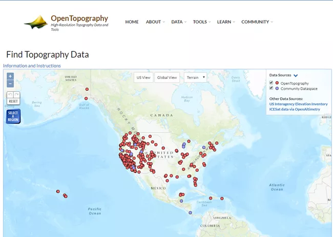
It has a friendly data downloading interface and terrain data of high precision. However, the data on this website are mainly about the US, Canada, Australia, and Brazil. Anyhow, it is a good platform for learners to practice handling point clouds.
Still can't find the data that you need? Here comes the "easter egg".
Robin Wilson has classified most of the free GIS data sites available now into a page. There are about 300 links, each site providing a brief introduction of data therein, and you just need to find the data you need according to the corresponding classification! Reach the website here: https://freegisdata.rtwilson.com/
It is important to note that the data quality cannot be guaranteed as links are not all authoritative sites.
No matter where the data is obtained, it needs to be checked before use.
Do you have any other websites to recommend? Leave a message below.


