The "French GIS Online Forum", jointly organized by SuperMap, French company - Bionatics and Tunisian company - Geomex Engineering, started on June 11th from 9 to 11 pm Beijing time.
The forum connected France, Tunisia, and China (Beijing, Chengdu) and shared 3 reports for a total of 2 hours. It invited over 110 GIS practitioners from 18 countries including France, Tunisia, Bulgaria, Mali, Senegal, Côte d’Ivoire, Rwanda and others.

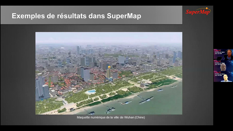
During the online forum, Péma Guilavogui, Business Development and Technical Support of SuperMap International, first introduced Supermap products and technology systems, and shared some typical applications. Stéphane GOURGOUT, Executive Vice President of Bionatics company in France, gave a report on the theme of "LandSim3D, the rapid 3D city & landscape generation tool for SuperMap". Through the integration cases sharing of LandSim3D platform and SuperMap GIS products, it provides ideas for a wider applications of SuperMap GIS technologies and products in 3D cities and 3D landscape. At last, Karim Marmouri, President of Geomex Engineering in Tunisia, shared solutions based on SuperMap GIS technologies in natural resource management and urban management.
In this forum, based on the good cooperation with SuperMap, the two companies- Bionatics and Geomex Engineering, shared their understandings on SuperMap GIS technologies and products, and combined with the technologies and products of theirs. The forum helps the in-depth application of SuperMap technologies and products in various fields, and provides more ideas and possibilities in GIS applications in French-speaking countries.
For your further questions about the reports and SuperMap, please feel free to contact us via email: zhengwentong@supermap.com
To review the reports in Video, please find below:
Présentation de la technologie SuperMap
Présentation de LandSim3D l'outil de modélisation rapide de villes et paysages pour SuperMap
Solution de gestion des ressources naturelles et de l’urbanisme
To download the reports in PDF, please find below:
Présentation de la technologie SuperMap
Présentation de LandSim3D l'outil de modélisation rapide de villes et paysages pour SuperMap
Solution de gestion des ressources naturelles et de l’urbanisme