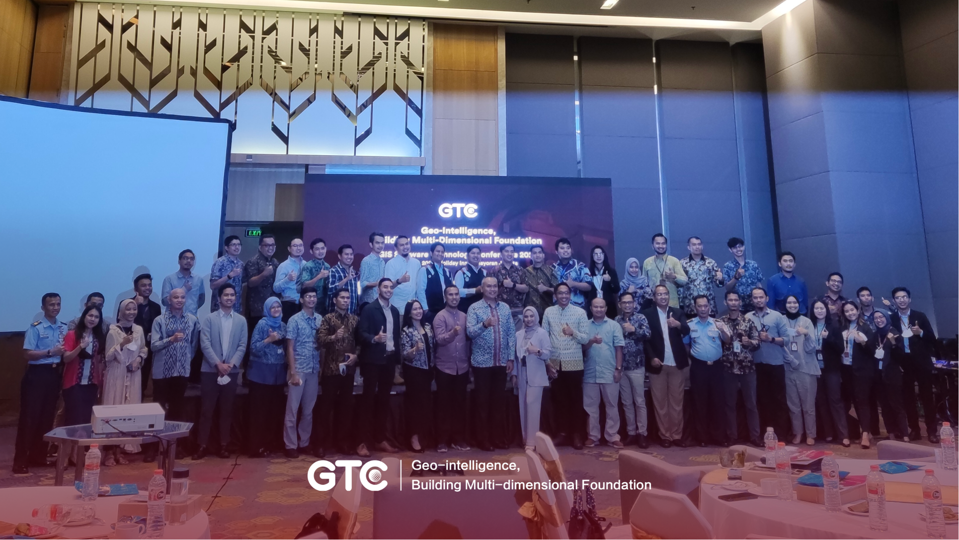
SuperMap Indonesia held the GIS Software Technology Conference (GTC) on July 7th in Jakarta with the theme 'Geo-intelligence, Building Multi-Dimensional Foundation'. The event is a part of GTC events that took place in Beijing, China, and another six countries spread across Asia, South America, and Africa.
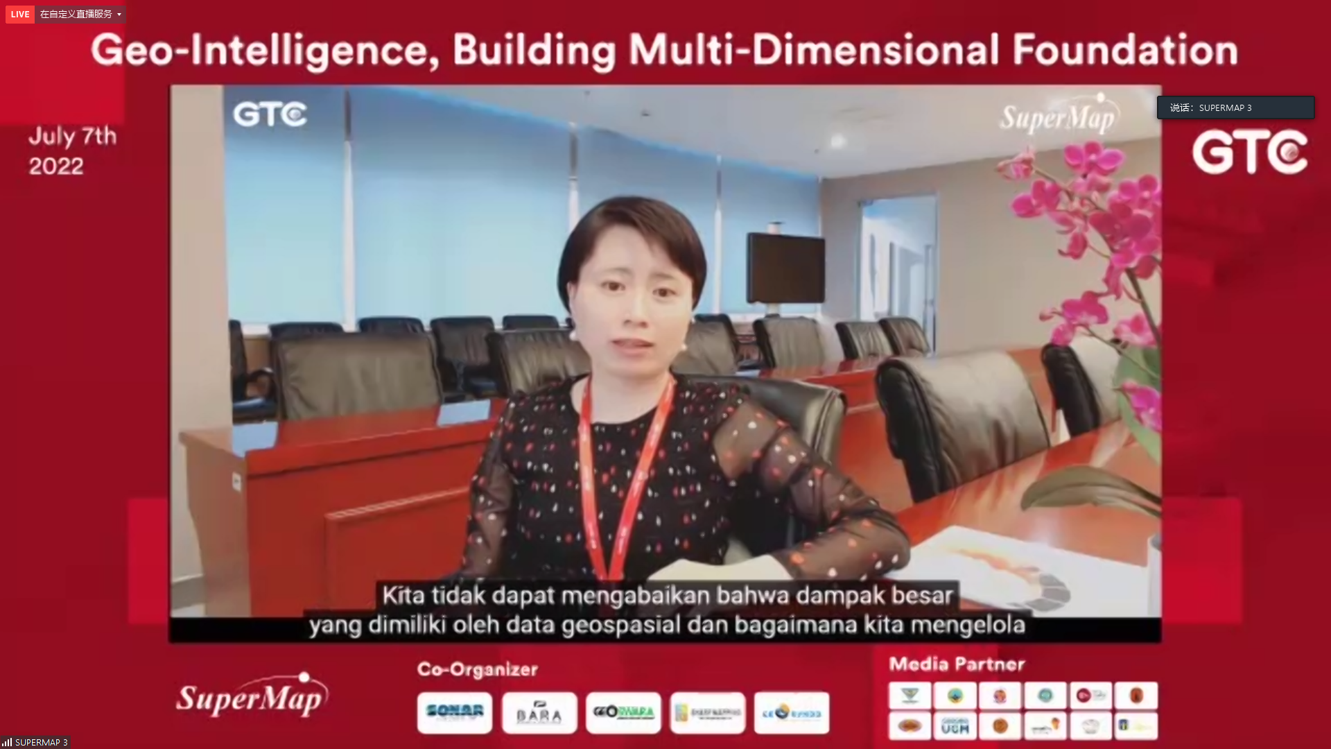
Evelyn Sun, General Manager of Asia and Oceania Center of SuperMap was present online to open the event. Evelyn said that a Geographic Information System or GIS can't solve all problems, but it can help measure and monitor problems until a more comprehensive and effective understanding of the challenges and risks is reached, and make better decisions.
At the SuperMap GTC Indonesia 2022 event, the Director General of Determination of Rights and Land Registration, Ministry of ATR/BPN, Suyus Windayana made a presentation related to Geo-Blockchain as a special distributed spatial data storage. Based on what he said, Geo-Blockchain will be useful for maintaining data security, supporting data traceability so that the entire process can be tracked, and avoiding unexpected data changes.
Furthermore, there was a presentation related to GIS in Metaverse by Rahmad Faiszal, Metaversal Working Group Alumni Association Bandung Institute of Technology (ITB). He said that GIS is the key technology needed to build and map the real world into the digital world. Through the collaboration with Game Engine to display 3D-based geospatial data, GIS can provide virtual assets to geospatial and geographic aspects in the Metaverse concept.
From the business side, Aji Akbar Titimangsa, the founder of Uwitan talked about using Location Intelligence (LI) to optimize research and strategy, management and operations, as well as a company's business scheme.
There are two uses of LI that can be implemented, namely visualization and spatial data analysis. Spatial data visualization will answer the information needs of data distribution, while spatial data analysis will provide more complex answers related to customer behavior and market predictions in the future.
In the final session, there was a presentation related to Building Information Modeling (BIM) and Mining Digitalization by Nikma Fista Safrina, SuperMap Country Manager of Indonesia. As shown in the report, SuperMap has succeeded in developing a digital system that is tailored to the needs of users in the field of 3D and mining.